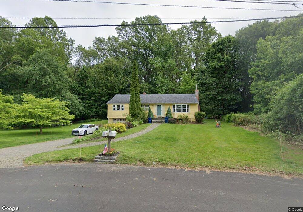
601 Avon Dr Orange, CT 06477
Estimated Value: $444,000 - $499,872
3
Beds
2
Baths
1,237
Sq Ft
$382/Sq Ft
Est. Value
About This Home
This home is located at 601 Avon Dr, Orange, CT 06477 and is currently estimated at $471,968, approximately $381 per square foot. 601 Avon Dr is a home located in New Haven County with nearby schools including Mary L. Tracy School, Race Brook School, and Amity Middle School: Orange.
Ownership History
Date
Name
Owned For
Owner Type
Purchase Details
Closed on
Mar 10, 2003
Sold by
Ferraiolo Thomas M
Bought by
Mulherin Danel J
Current Estimated Value
Home Financials for this Owner
Home Financials are based on the most recent Mortgage that was taken out on this home.
Original Mortgage
$180,000
Outstanding Balance
$77,777
Interest Rate
5.95%
Estimated Equity
$394,191
Create a Home Valuation Report for This Property
The Home Valuation Report is an in-depth analysis detailing your home's value as well as a comparison with similar homes in the area
Home Values in the Area
Average Home Value in this Area
Purchase History
| Date | Buyer | Sale Price | Title Company |
|---|---|---|---|
| Mulherin Danel J | $225,000 | -- | |
| Mulherin Danel J | $225,000 | -- |
Source: Public Records
Mortgage History
| Date | Status | Borrower | Loan Amount |
|---|---|---|---|
| Open | Mulherin Danel J | $100,000 | |
| Closed | Mulherin Danel J | $75,000 | |
| Open | Mulherin Danel J | $180,000 |
Source: Public Records
Tax History Compared to Growth
Tax History
| Year | Tax Paid | Tax Assessment Tax Assessment Total Assessment is a certain percentage of the fair market value that is determined by local assessors to be the total taxable value of land and additions on the property. | Land | Improvement |
|---|---|---|---|---|
| 2025 | $8,462 | $290,800 | $206,500 | $84,300 |
| 2024 | $9,015 | $290,800 | $206,500 | $84,300 |
| 2023 | $6,866 | $212,500 | $147,800 | $64,700 |
| 2022 | $6,951 | $212,500 | $147,800 | $64,700 |
| 2021 | $7,066 | $212,500 | $147,800 | $64,700 |
| 2020 | $6,957 | $212,500 | $147,800 | $64,700 |
| 2019 | $6,925 | $212,500 | $147,800 | $64,700 |
| 2018 | $6,800 | $212,500 | $147,800 | $64,700 |
| 2017 | $6,839 | $205,500 | $143,800 | $61,700 |
| 2016 | $6,617 | $205,500 | $143,800 | $61,700 |
| 2015 | $6,453 | $205,500 | $143,800 | $61,700 |
| 2014 | $6,268 | $205,500 | $143,800 | $61,700 |
Source: Public Records
Map
Nearby Homes
- 588 Summit Dr
- 484 New England Ln
- 14 Ironwood Way
- 189 Derby Ave
- 846 Beechwood Rd
- 8 Farm River Rd
- 265 Tuthill St
- 78 Nonquit St
- 57 Dalton St
- 100 Yates St
- 700 Royal Ln
- 47 Sunset Dr
- 424 Racebrook Rd
- 39 Medford St
- 74 Hall Dr
- 107 Tuthill St
- 1025 Field Dr
- 62 Tuthill St
- 0 Burwell & Woodfield Rd Unit 24051262
- 0 Burwell Rd