601 Pheasant Run Amenia, NY 12501
Estimated Value: $4,988,000 - $6,761,796
3
Beds
4
Baths
2,000
Sq Ft
$2,885/Sq Ft
Est. Value
About This Home
This home is located at 601 Pheasant Run, Amenia, NY 12501 and is currently estimated at $5,769,599, approximately $2,884 per square foot. 601 Pheasant Run is a home with nearby schools including Eugene Brooks Intermediate School and Maplebrook School.
Ownership History
Date
Name
Owned For
Owner Type
Purchase Details
Closed on
May 28, 2019
Sold by
Hight Randall W
Bought by
Schwartzberg Hvan and Schwartzberg Lysa
Current Estimated Value
Home Financials for this Owner
Home Financials are based on the most recent Mortgage that was taken out on this home.
Original Mortgage
$2,625,000
Outstanding Balance
$2,308,017
Interest Rate
4.1%
Mortgage Type
Stand Alone Refi Refinance Of Original Loan
Estimated Equity
$3,461,582
Purchase Details
Closed on
May 11, 2018
Sold by
Silo Ridge Ventures Prop
Bought by
Hight Randall W
Create a Home Valuation Report for This Property
The Home Valuation Report is an in-depth analysis detailing your home's value as well as a comparison with similar homes in the area
Home Values in the Area
Average Home Value in this Area
Purchase History
| Date | Buyer | Sale Price | Title Company |
|---|---|---|---|
| Schwartzberg Hvan | $41,540 | -- | |
| Hight Randall W | $2,275,000 | -- | |
| Hight Randall W | $2,275,000 | -- |
Source: Public Records
Mortgage History
| Date | Status | Borrower | Loan Amount |
|---|---|---|---|
| Open | Schwartzberg Hvan | $2,625,000 |
Source: Public Records
Tax History Compared to Growth
Tax History
| Year | Tax Paid | Tax Assessment Tax Assessment Total Assessment is a certain percentage of the fair market value that is determined by local assessors to be the total taxable value of land and additions on the property. | Land | Improvement |
|---|---|---|---|---|
| 2024 | $44,948 | $1,807,900 | -- | $1,807,900 |
| 2023 | $33,128 | $1,755,200 | $0 | $1,755,200 |
| 2022 | $35,496 | $1,581,300 | $0 | $1,581,300 |
| 2021 | $24,328 | $1,424,605 | $0 | $1,424,605 |
| 2020 | $24,926 | $1,424,605 | $0 | $1,424,605 |
| 2019 | $23,453 | $1,424,605 | $0 | $0 |
| 2018 | $13,901 | $712,303 | $0 | $712,303 |
Source: Public Records
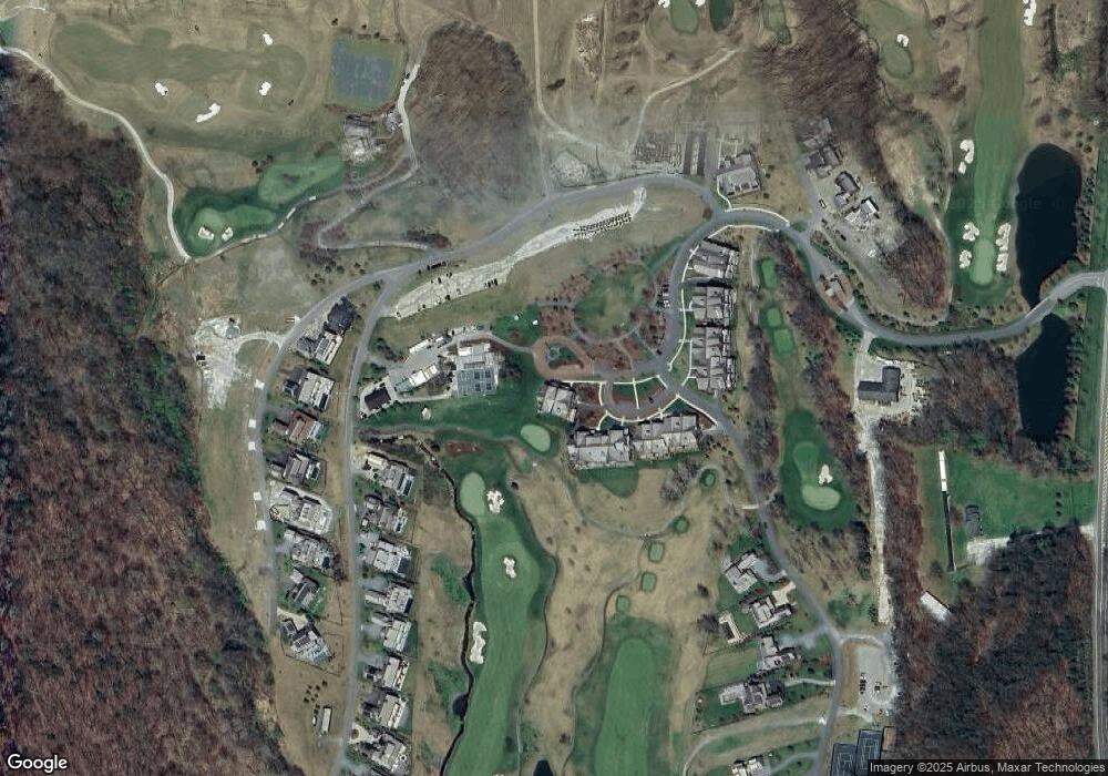
Map
Nearby Homes
- 782 Old Route 22
- 5251 Route 44
- 4848 Route 44 None
- 9 Morton Place
- 4848 Route 44
- 4865 South St
- 0 Cascade Mt Perrys Corners Rd Unit KEYH6310518
- 22 Old State Route
- 0 Route 343 Unit KEY896113
- 0 Route 343 Unit 20253568
- 51 Depot Hill Rd
- 10 Stagecoach Ln
- 54 Midway Ave
- 75 Midway Ave
- 352 Old Route 22
- 10 Flood Dr
- 39 Prospect Ave
- 18 Furnace Bank Rd Unit 2
- 28 Yellow City Rd
- 31 Yellow City Rd
- 605 Pheasant Run
- 603 Pheasant Run
- 607 Pheasant Run
- 509 Pheasant Run
- 503 Pheasant Run
- 505 Pheasant Run
- 501 Pheasant Run
- 511 Pheasant Run
- 513 Pheasant Run
- 507 Pheasant Run
- 515 Pheasant Run
- 401 Pheasant Run
- 405 Pheasant Run
- 403 Pheasant Run
- 407 Pheasant Run
- 409 Pheasant Run
- 413 Pheasant Run
- 411 Pheasant Run
- 415 Pheasant Run
- 301 Pheasant Run