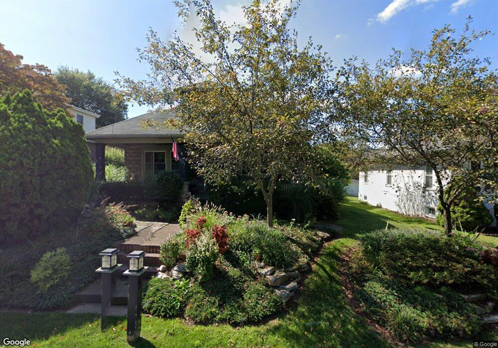
601 S Hanover St Pottstown, PA 19465
North Coventry NeighborhoodEstimated Value: $275,000 - $398,000
3
Beds
2
Baths
1,835
Sq Ft
$188/Sq Ft
Est. Value
About This Home
This home is located at 601 S Hanover St, Pottstown, PA 19465 and is currently estimated at $344,397, approximately $187 per square foot. 601 S Hanover St is a home located in Chester County with nearby schools including North Coventry Elementary School, Owen J Roberts Middle School, and Owen J Roberts High School.
Ownership History
Date
Name
Owned For
Owner Type
Purchase Details
Closed on
Aug 5, 2017
Sold by
Estate Of Marie L Leeds
Bought by
Lyon James and Lyon Victoria L
Current Estimated Value
Purchase Details
Closed on
Sep 21, 2009
Sold by
Bond Jack Raymond and Bond Barbara
Bought by
Leeds John C and Leeds Marie L
Home Financials for this Owner
Home Financials are based on the most recent Mortgage that was taken out on this home.
Original Mortgage
$132,000
Interest Rate
5.14%
Mortgage Type
New Conventional
Create a Home Valuation Report for This Property
The Home Valuation Report is an in-depth analysis detailing your home's value as well as a comparison with similar homes in the area
Home Values in the Area
Average Home Value in this Area
Purchase History
| Date | Buyer | Sale Price | Title Company |
|---|---|---|---|
| Lyon James | -- | None Available | |
| Leeds John C | $165,000 | None Available |
Source: Public Records
Mortgage History
| Date | Status | Borrower | Loan Amount |
|---|---|---|---|
| Previous Owner | Leeds John C | $132,000 |
Source: Public Records
Tax History Compared to Growth
Tax History
| Year | Tax Paid | Tax Assessment Tax Assessment Total Assessment is a certain percentage of the fair market value that is determined by local assessors to be the total taxable value of land and additions on the property. | Land | Improvement |
|---|---|---|---|---|
| 2025 | $4,290 | $101,280 | $24,190 | $77,090 |
| 2024 | $4,290 | $101,280 | $24,190 | $77,090 |
| 2023 | $4,230 | $101,280 | $24,190 | $77,090 |
| 2022 | $4,143 | $101,280 | $24,190 | $77,090 |
| 2021 | $4,070 | $101,280 | $24,190 | $77,090 |
| 2020 | $3,968 | $101,280 | $24,190 | $77,090 |
| 2019 | $3,895 | $101,280 | $24,190 | $77,090 |
| 2018 | $3,790 | $101,280 | $24,190 | $77,090 |
| 2017 | $3,692 | $101,280 | $24,190 | $77,090 |
| 2016 | $3,118 | $101,280 | $24,190 | $77,090 |
| 2015 | $3,118 | $101,280 | $24,190 | $77,090 |
| 2014 | $3,118 | $101,280 | $24,190 | $77,090 |
Source: Public Records
Map
Nearby Homes
- 435 Kline Ave
- 84 W Schuylkill Rd
- 468 Kline Ave
- 277 Industrial Hwy
- 383 W Cedarville Rd
- 738 Union Ave
- 1132 Wendler Cir
- 425 Laurel St
- 410 Cherry St
- 325 South St
- 426 Cherry St
- 110 S Franklin St
- 428 South St
- 363 New St
- 797 Union Ave
- 780 E Cedarville Rd
- 48 Chestnut St
- 0000 Chestnut St
- 422 King St
- 322 Chestnut St
- 611 S Hanover St
- 591 S Hanover St
- 621 S Hanover St
- 59 Lindberg Ave
- 581 S Hanover St
- 629 S Hanover St
- 71 Lindberg Ave
- 569 S Hanover St
- 621 Coyne Ave
- 62 Mount Zion Ave
- 621 Coyne Alley Unit 1ST FLOOR
- 641 S Hanover St
- 81 Lindberg Ave
- 559 S Hanover St
- 92 Lindberg Ave
- 78 Mount Zion Ave
- 645 Coyne Ave
- 93 Lindberg Ave
- 651 S Hanover St
- 65 Coyne Alley