6014 Viking Dr Raleigh, NC 27612
Northwest Raleigh NeighborhoodEstimated Value: $323,000 - $346,000
2
Beds
3
Baths
1,423
Sq Ft
$233/Sq Ft
Est. Value
About This Home
This home is located at 6014 Viking Dr, Raleigh, NC 27612 and is currently estimated at $331,076, approximately $232 per square foot. 6014 Viking Dr is a home located in Wake County with nearby schools including Oberlin Middle School, Broughton Magnet High School, and Iron Academy.
Ownership History
Date
Name
Owned For
Owner Type
Purchase Details
Closed on
Jan 24, 2018
Sold by
Karr Karen A
Bought by
Stephenson Joe B
Current Estimated Value
Purchase Details
Closed on
Oct 5, 2006
Sold by
Standard Pacific Of The Carolinas Llc
Bought by
Karr Karen A
Home Financials for this Owner
Home Financials are based on the most recent Mortgage that was taken out on this home.
Original Mortgage
$135,089
Interest Rate
6.46%
Mortgage Type
Unknown
Create a Home Valuation Report for This Property
The Home Valuation Report is an in-depth analysis detailing your home's value as well as a comparison with similar homes in the area
Home Values in the Area
Average Home Value in this Area
Purchase History
| Date | Buyer | Sale Price | Title Company |
|---|---|---|---|
| Stephenson Joe B | $200,000 | None Available | |
| Karr Karen A | $169,000 | None Available |
Source: Public Records
Mortgage History
| Date | Status | Borrower | Loan Amount |
|---|---|---|---|
| Previous Owner | Karr Karen A | $135,089 | |
| Previous Owner | Karr Karen A | $25,329 |
Source: Public Records
Tax History Compared to Growth
Tax History
| Year | Tax Paid | Tax Assessment Tax Assessment Total Assessment is a certain percentage of the fair market value that is determined by local assessors to be the total taxable value of land and additions on the property. | Land | Improvement |
|---|---|---|---|---|
| 2025 | $2,790 | $317,642 | $100,000 | $217,642 |
| 2024 | $2,779 | $317,642 | $100,000 | $217,642 |
| 2023 | $2,383 | $216,769 | $50,000 | $166,769 |
| 2022 | $2,215 | $216,769 | $50,000 | $166,769 |
| 2021 | $2,129 | $216,769 | $50,000 | $166,769 |
| 2020 | $2,091 | $216,769 | $50,000 | $166,769 |
| 2019 | $1,929 | $164,743 | $30,000 | $134,743 |
| 2018 | $1,820 | $164,743 | $30,000 | $134,743 |
| 2017 | $1,734 | $164,743 | $30,000 | $134,743 |
| 2016 | $1,698 | $164,743 | $30,000 | $134,743 |
| 2015 | $1,823 | $174,115 | $40,000 | $134,115 |
| 2014 | $1,729 | $174,115 | $40,000 | $134,115 |
Source: Public Records
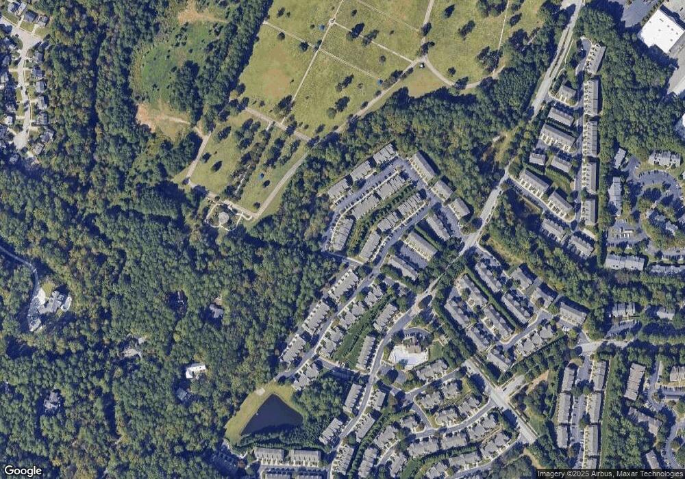
Map
Nearby Homes
- 6005 History Trail
- 6025 History Trail
- 5927 Hourglass Ct
- 6064 Viking Dr
- 5912 Hourglass Ct
- 5905 Cameo Glass Way
- 5826 Cameo Glass Way
- 5026 Celtic Ct
- 5802 Cameo Glass Way
- 4703 Kings Garden Rd
- 4909 Amber Clay Ln
- 5003 Celtic Ct
- 5044 Amber Clay Ln
- 5916 Longeria Ct
- 4820 Sir Duncan Way
- 4607 Matterly St
- 4921 Lady of The Lake Dr
- 5133 Lady of The Lake Dr
- 6206 Braidwood Ct
- 5113 Lady of The Lake Dr
- 6012 Viking Dr
- 6010 Viking Dr
- 6016 Viking Dr
- 6020 Viking Dr
- 6022 Viking Dr
- 6024 Viking Dr
- 6026 Viking Dr
- 6007 History Trail
- 6009 History Trail
- 6011 History Trail
- 6013 History Trail
- 6015 History Trail
- 5937 Hourglass Ct
- 6034 Viking Dr
- 6017 History Trail
- 6019 History Trail
- 6036 Viking Dr
- 5935 Hourglass Ct
- 6038 Viking Dr
- 5933 Hourglass Ct