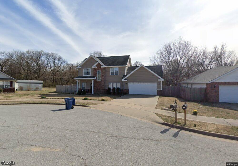
602 Amanda Dr Siloam Springs, AR 72761
Estimated Value: $247,000 - $261,000
--
Bed
3
Baths
1,423
Sq Ft
$178/Sq Ft
Est. Value
About This Home
This home is located at 602 Amanda Dr, Siloam Springs, AR 72761 and is currently estimated at $253,271, approximately $177 per square foot. 602 Amanda Dr is a home located in Benton County with nearby schools including Northside Elementary School, Delbert Pete & Pat Allen Elementary School, and Southside Elementary School.
Ownership History
Date
Name
Owned For
Owner Type
Purchase Details
Closed on
Jun 30, 2006
Sold by
Schultz Seth J and Schultz Lindsey D
Bought by
Dixon Mark R and Dixon Julie A
Current Estimated Value
Home Financials for this Owner
Home Financials are based on the most recent Mortgage that was taken out on this home.
Original Mortgage
$135,000
Outstanding Balance
$79,812
Interest Rate
6.67%
Mortgage Type
Purchase Money Mortgage
Estimated Equity
$173,459
Purchase Details
Closed on
Jul 3, 2003
Bought by
Schultz
Create a Home Valuation Report for This Property
The Home Valuation Report is an in-depth analysis detailing your home's value as well as a comparison with similar homes in the area
Home Values in the Area
Average Home Value in this Area
Purchase History
| Date | Buyer | Sale Price | Title Company |
|---|---|---|---|
| Dixon Mark R | $135,000 | Bronson Title Services Inc | |
| Schultz | $18,000 | -- |
Source: Public Records
Mortgage History
| Date | Status | Borrower | Loan Amount |
|---|---|---|---|
| Open | Dixon Mark R | $135,000 |
Source: Public Records
Tax History Compared to Growth
Tax History
| Year | Tax Paid | Tax Assessment Tax Assessment Total Assessment is a certain percentage of the fair market value that is determined by local assessors to be the total taxable value of land and additions on the property. | Land | Improvement |
|---|---|---|---|---|
| 2025 | $1,764 | $45,485 | $10,400 | $35,085 |
| 2024 | $1,728 | $45,485 | $10,400 | $35,085 |
| 2023 | $1,646 | $32,220 | $8,000 | $24,220 |
| 2022 | $1,198 | $32,220 | $8,000 | $24,220 |
| 2021 | $1,123 | $32,220 | $8,000 | $24,220 |
| 2020 | $1,056 | $24,850 | $3,000 | $21,850 |
| 2019 | $1,056 | $24,850 | $3,000 | $21,850 |
| 2018 | $1,081 | $24,850 | $3,000 | $21,850 |
| 2017 | $1,081 | $24,850 | $3,000 | $21,850 |
| 2016 | $1,081 | $24,850 | $3,000 | $21,850 |
| 2015 | $1,394 | $24,200 | $4,000 | $20,200 |
| 2014 | $1,044 | $24,200 | $4,000 | $20,200 |
Source: Public Records
Map
Nearby Homes
- 607 Amanda Dr
- 730 N Walnut Ct
- 606 Gail Dr
- 402 Greenwood
- 605 Teri Dr
- 401 Glenwood Place
- 0000 N Elm St
- 1050 W Garland St Unit A & B
- TBD South N Elm St
- 716 N Mount Olive St
- 605 N Wright St
- 411 N Maple St
- 111 E Helena St
- 503 N Wright St
- 1108 Deerfield Meadow
- 908 Willow Ct
- 0 9 92 Ac Cheri Whitlock Dr
- 0 Mt Olive Rd Unit 1316199
- 708 W Shane St
- 1707 N Dogwood St