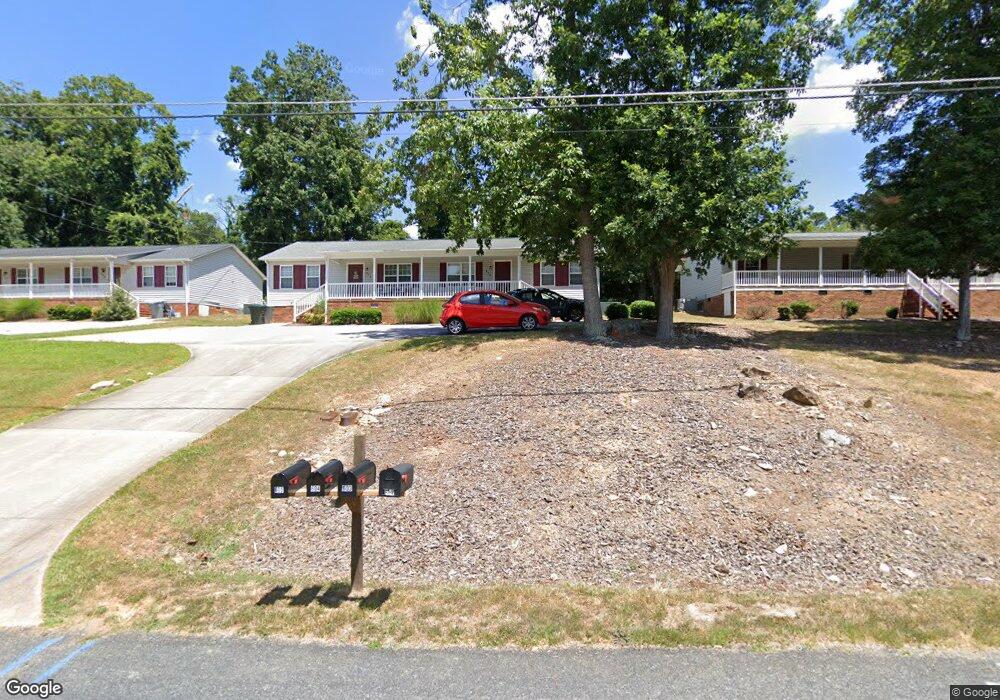
602 Lincoln Ave Asheboro, NC 27205
Estimated Value: $165,000 - $304,000
--
Bed
2
Baths
1,764
Sq Ft
$128/Sq Ft
Est. Value
About This Home
This home is located at 602 Lincoln Ave, Asheboro, NC 27205 and is currently estimated at $225,482, approximately $127 per square foot. 602 Lincoln Ave is a home located in Randolph County with nearby schools including Charles W. McCrary Elementary School, North Asheboro Middle School, and Asheboro High School.
Ownership History
Date
Name
Owned For
Owner Type
Purchase Details
Closed on
Nov 18, 2005
Sold by
Monroe James Michael and Monroe Betsy P
Bought by
Baybuilt Properties Llc
Current Estimated Value
Home Financials for this Owner
Home Financials are based on the most recent Mortgage that was taken out on this home.
Original Mortgage
$172,550
Outstanding Balance
$93,980
Interest Rate
6.04%
Mortgage Type
Construction
Estimated Equity
$131,502
Purchase Details
Closed on
Jun 19, 1996
Bought by
Baybuilt Properties Llc
Create a Home Valuation Report for This Property
The Home Valuation Report is an in-depth analysis detailing your home's value as well as a comparison with similar homes in the area
Home Values in the Area
Average Home Value in this Area
Purchase History
| Date | Buyer | Sale Price | Title Company |
|---|---|---|---|
| Baybuilt Properties Llc | $203,000 | -- | |
| Baybuilt Properties Llc | $12,500 | -- |
Source: Public Records
Mortgage History
| Date | Status | Borrower | Loan Amount |
|---|---|---|---|
| Open | Baybuilt Properties Llc | $172,550 |
Source: Public Records
Tax History Compared to Growth
Tax History
| Year | Tax Paid | Tax Assessment Tax Assessment Total Assessment is a certain percentage of the fair market value that is determined by local assessors to be the total taxable value of land and additions on the property. | Land | Improvement |
|---|---|---|---|---|
| 2025 | $2,028 | $163,260 | $26,560 | $136,700 |
| 2024 | $2,028 | $163,260 | $26,560 | $136,700 |
| 2023 | $2,028 | $163,260 | $26,560 | $136,700 |
| 2022 | $1,639 | $113,680 | $19,720 | $93,960 |
| 2021 | $1,639 | $113,680 | $19,720 | $93,960 |
| 2020 | $1,639 | $113,680 | $19,720 | $93,960 |
| 2019 | $1,639 | $113,680 | $19,720 | $93,960 |
| 2018 | $1,488 | $101,380 | $18,680 | $82,700 |
| 2016 | $1,488 | $101,384 | $18,680 | $82,704 |
| 2015 | $1,490 | $101,384 | $18,680 | $82,704 |
| 2014 | -- | $101,384 | $18,680 | $82,704 |
Source: Public Records
Map
Nearby Homes
- 627 Oakmont Dr
- 1110 Park Dr
- 866 Mountain Rd
- 0000 Little Gate Dr
- 435 Peachtree St
- 0 Highwood Dr
- 516 and 518 Peachtree St
- TBD Oakland Ave
- 923 Arnold St
- 1407 Oakland Ave
- 1011 Westmont Dr
- 1025 Neely Dr
- 1582 Westmont Dr
- 0 Amity Rd
- 330 W Presnell St Unit 37
- 330 13 W Presnell St
- 1263 Winslow Ave Unit A, B & C
- 1142 Westover Terrace
- 830 Sunset Ave
- 255 Liberty St
- 608 Lincoln Ave
- 590 Lincoln Ave
- 614 Lincoln Ave
- 580 Lincoln Ave
- 561 N Mccrary St
- 603 Lincoln Ave
- 577 N Mccrary St
- 611 Lincoln Ave
- 589 Lincoln Ave
- 541 N Mccrary St
- 572 Lincoln Ave
- 620 Lincoln Ave
- 553 N Mccrary St
- 617 Lincoln Ave
- 585 N Mccrary St
- 626 Lincoln Ave
- 564 Lincoln Ave
- 515 N Mccrary St
- 625 Lincoln Ave
- 587 N Mccrary St