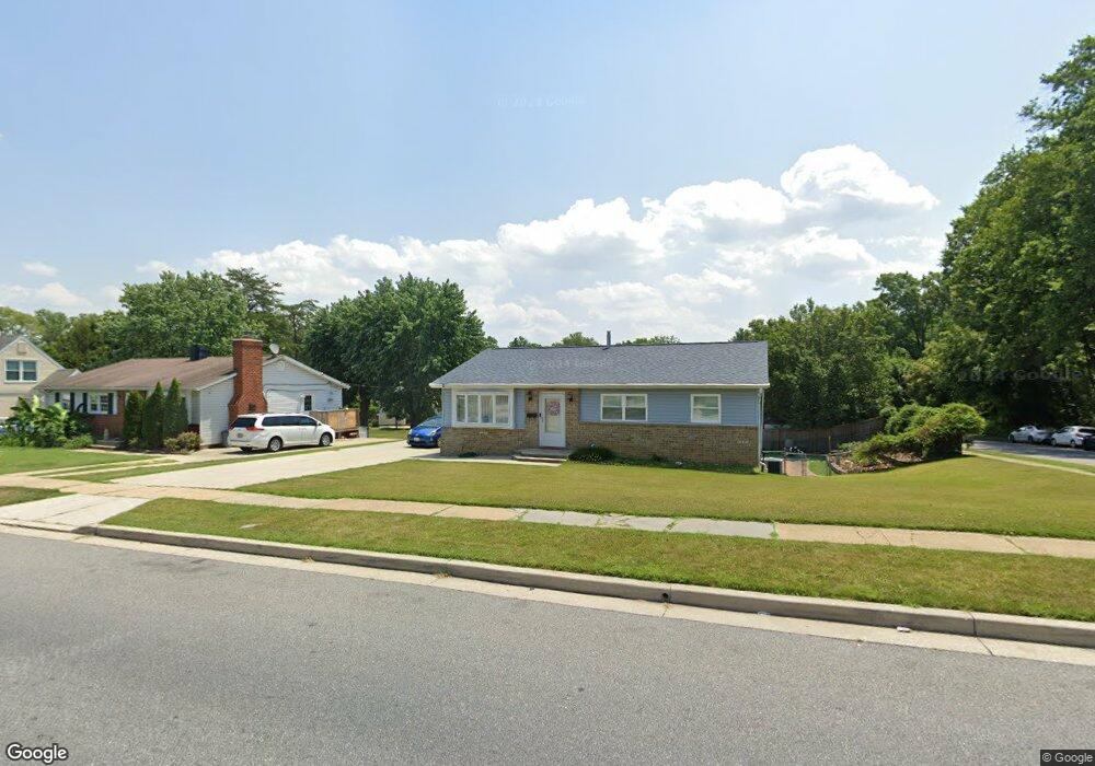
6029 Chesworth Rd Catonsville, MD 21228
Estimated Value: $329,451 - $417,000
--
Bed
3
Baths
1,200
Sq Ft
$318/Sq Ft
Est. Value
About This Home
This home is located at 6029 Chesworth Rd, Catonsville, MD 21228 and is currently estimated at $381,363, approximately $317 per square foot. 6029 Chesworth Rd is a home located in Baltimore County with nearby schools including Johnnycake Elementary School, Southwest Academy, and Woodlawn High School.
Ownership History
Date
Name
Owned For
Owner Type
Purchase Details
Closed on
Sep 12, 2025
Sold by
Pibulsiri Christina
Bought by
Pibulsiri Christina and Pibulsiri Satina Jatiese
Current Estimated Value
Purchase Details
Closed on
Aug 11, 2017
Sold by
Harding Victoria
Bought by
Pibulsiri Christina
Purchase Details
Closed on
May 4, 1994
Sold by
Cisna J A
Bought by
Harding Victoria
Home Financials for this Owner
Home Financials are based on the most recent Mortgage that was taken out on this home.
Original Mortgage
$80,900
Interest Rate
7.7%
Create a Home Valuation Report for This Property
The Home Valuation Report is an in-depth analysis detailing your home's value as well as a comparison with similar homes in the area
Home Values in the Area
Average Home Value in this Area
Purchase History
| Date | Buyer | Sale Price | Title Company |
|---|---|---|---|
| Pibulsiri Christina | -- | Vantage Point Title | |
| Pibulsiri Christina | -- | None Available | |
| Harding Victoria | $86,000 | -- |
Source: Public Records
Mortgage History
| Date | Status | Borrower | Loan Amount |
|---|---|---|---|
| Previous Owner | Harding Victoria | $80,900 |
Source: Public Records
Tax History Compared to Growth
Tax History
| Year | Tax Paid | Tax Assessment Tax Assessment Total Assessment is a certain percentage of the fair market value that is determined by local assessors to be the total taxable value of land and additions on the property. | Land | Improvement |
|---|---|---|---|---|
| 2025 | $4,037 | $286,000 | -- | -- |
| 2024 | $4,037 | $268,600 | $78,500 | $190,100 |
| 2023 | $2,019 | $256,467 | $0 | $0 |
| 2022 | $3,985 | $244,333 | $0 | $0 |
| 2021 | $3,530 | $232,200 | $78,500 | $153,700 |
| 2020 | $3,530 | $224,667 | $0 | $0 |
| 2019 | $3,404 | $217,133 | $0 | $0 |
| 2018 | $3,267 | $209,600 | $65,000 | $144,600 |
| 2017 | $3,071 | $203,533 | $0 | $0 |
| 2016 | $2,567 | $197,467 | $0 | $0 |
| 2015 | $2,567 | $191,400 | $0 | $0 |
| 2014 | $2,567 | $191,400 | $0 | $0 |
Source: Public Records
Map
Nearby Homes
- 6031 Burnt Oak Rd
- 6200 Gilston Park Rd
- 6028 Moorehead Rd
- 800 Crosby Rd
- 3 Mcgrady Square
- 67 Walden Mill Way
- 908 Vanderwood Rd
- 1111 Cummings Ave
- 920 Vanderwood Rd
- 1418 Harberson Rd
- 6263 Gilston Park Rd
- 1009 Rowe Ln
- 930 Sedgley Rd
- 1007 Kent Ave
- 1019 Cummings Ave
- 1013 Cummings Ave
- 6011 Johnnycake Rd
- 5926 Old Frederick Rd
- 6001 Johnnycake Rd
- 1068 Craftswood Rd
- 6027 Chesworth Rd
- 6005 Keithmont Ct
- 6003 Keithmont Ct
- 6025 Chesworth Rd
- 6030 Chesworth Rd
- 6028 Chesworth Rd
- 6032 Chesworth Rd
- 6026 Chesworth Rd
- 6023 Chesworth Rd
- 6034 Chesworth Rd
- 6001 Keithmont Ct
- 6024 Chesworth Rd
- 6027 Burnt Oak Rd
- 6025 Burnt Oak Rd
- 6021 Chesworth Rd
- 6029 Burnt Oak Rd
- 6022 Chesworth Rd
- 6000 Keithmont Ct
- 6004 Keithmont Ct
- 6023 Burnt Oak Rd