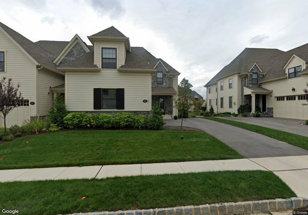
604 Bartram Ct Flourtown, PA 19031
Estimated Value: $1,247,000 - $1,497,834
3
Beds
3
Baths
3,276
Sq Ft
$409/Sq Ft
Est. Value
About This Home
This home is located at 604 Bartram Ct, Flourtown, PA 19031 and is currently estimated at $1,339,959, approximately $409 per square foot. 604 Bartram Ct is a home with nearby schools including Whitemarsh El School, Colonial Elementary School, and Colonial Middle School.
Ownership History
Date
Name
Owned For
Owner Type
Purchase Details
Closed on
Aug 4, 2016
Sold by
Judd Associates Limited Partnership
Bought by
Judd Associates Limited Partnership and Judd Associates Management Llc
Current Estimated Value
Purchase Details
Closed on
Apr 18, 2016
Sold by
Judd Associates Management Llc
Bought by
Harrop Daniel M and Harrop Catriona
Home Financials for this Owner
Home Financials are based on the most recent Mortgage that was taken out on this home.
Original Mortgage
$602,345
Outstanding Balance
$479,310
Interest Rate
3.73%
Mortgage Type
New Conventional
Estimated Equity
$860,649
Create a Home Valuation Report for This Property
The Home Valuation Report is an in-depth analysis detailing your home's value as well as a comparison with similar homes in the area
Home Values in the Area
Average Home Value in this Area
Purchase History
| Date | Buyer | Sale Price | Title Company |
|---|---|---|---|
| Judd Associates Limited Partnership | -- | None Available | |
| Harrop Daniel M | $669,273 | Land Services Usa Inc |
Source: Public Records
Mortgage History
| Date | Status | Borrower | Loan Amount |
|---|---|---|---|
| Open | Harrop Daniel M | $602,345 |
Source: Public Records
Tax History Compared to Growth
Tax History
| Year | Tax Paid | Tax Assessment Tax Assessment Total Assessment is a certain percentage of the fair market value that is determined by local assessors to be the total taxable value of land and additions on the property. | Land | Improvement |
|---|---|---|---|---|
| 2025 | $10,250 | $314,790 | -- | -- |
| 2024 | $10,250 | $314,790 | -- | -- |
| 2023 | $9,880 | $314,790 | $0 | $0 |
| 2022 | $9,655 | $314,790 | $0 | $0 |
| 2021 | $9,365 | $314,790 | $0 | $0 |
| 2020 | $9,022 | $314,790 | $0 | $0 |
| 2019 | $8,752 | $314,790 | $0 | $0 |
| 2018 | $2,084 | $314,790 | $0 | $0 |
| 2017 | $8,452 | $314,790 | $0 | $0 |
Source: Public Records
Map
Nearby Homes
- 6150 Creekside Dr
- 6179 Creekside Dr
- 204 Pelham Ct
- 6106 Creekside Dr
- 510 Valley Green Ct
- 352 Stenton Ave
- 611 Creek Ln
- 4133 Joshua Rd
- 28 Grove Ave
- 9 Comly Ct
- 6274 W Valley Green Rd
- 4103 Laurel Dr
- 850 Thomas Rd
- 4040 N Warner Rd
- 357 Marianne Rd
- 2106 Carolton Way
- 4052 Center Ave
- 779 Germantown Pike
- 210 Whitemarsh Ave
- 32 Jones Ave
- 602 Bartram Ct
- 606 Bartram Ct
- 600 Bartram Ct
- 608 Bartram Ct
- 6139 Creekside Dr
- 6141 Creekside Dr
- 605 Bartram Ct
- 610 Bartram Ct
- 603 Bartram Ct
- 607 Bartram Ct
- 601 Bartram Ct
- 609 Bartram Ct
- 6157 Creekside Dr
- 612 Bartram Ct
- 6159 Creekside Dr
- 6161 Creekside Dr
- 6134 Creekside Dr
- 6132 Creekside Dr
- 6136 Creekside Dr
- 6163 Creekside Dr