604 Mollie Mooney Rd Roxboro, NC 27574
Estimated Value: $205,000 - $345,000
--
Bed
--
Bath
1,176
Sq Ft
$235/Sq Ft
Est. Value
About This Home
This home is located at 604 Mollie Mooney Rd, Roxboro, NC 27574 and is currently estimated at $276,797, approximately $235 per square foot. 604 Mollie Mooney Rd is a home with nearby schools including Person High School.
Ownership History
Date
Name
Owned For
Owner Type
Purchase Details
Closed on
Jul 30, 2021
Sold by
Taylor Gayle Simmons
Bought by
Oakes Amanda Mathieu and Oakes Marvin Dale
Current Estimated Value
Home Financials for this Owner
Home Financials are based on the most recent Mortgage that was taken out on this home.
Original Mortgage
$85,000
Outstanding Balance
$64,005
Interest Rate
2.1%
Estimated Equity
$212,792
Purchase Details
Closed on
Aug 13, 2018
Sold by
Taylor Gayle Simmons
Bought by
Taylor Gayle Simmons and Oakes Amanda Mathieu
Purchase Details
Closed on
Mar 8, 2013
Sold by
Oakes Amanda Mathieu and Oakes Marvin Dale
Bought by
Simmons Taylor Gayle
Create a Home Valuation Report for This Property
The Home Valuation Report is an in-depth analysis detailing your home's value as well as a comparison with similar homes in the area
Home Values in the Area
Average Home Value in this Area
Purchase History
| Date | Buyer | Sale Price | Title Company |
|---|---|---|---|
| Oakes Amanda Mathieu | -- | None Available | |
| Taylor Gayle Simmons | -- | None Available | |
| Simmons Taylor Gayle | -- | None Available |
Source: Public Records
Mortgage History
| Date | Status | Borrower | Loan Amount |
|---|---|---|---|
| Open | Oakes Amanda Mathieu | $85,000 |
Source: Public Records
Tax History Compared to Growth
Tax History
| Year | Tax Paid | Tax Assessment Tax Assessment Total Assessment is a certain percentage of the fair market value that is determined by local assessors to be the total taxable value of land and additions on the property. | Land | Improvement |
|---|---|---|---|---|
| 2025 | $2,256 | $333,432 | $0 | $0 |
| 2024 | $1,720 | $219,825 | $0 | $0 |
| 2023 | $1,720 | $219,825 | $0 | $0 |
| 2022 | $1,715 | $219,825 | $0 | $0 |
| 2021 | $0 | $219,825 | $0 | $0 |
| 2020 | $1,314 | $172,799 | $0 | $0 |
| 2019 | $1,331 | $172,799 | $0 | $0 |
| 2018 | $1,249 | $172,799 | $0 | $0 |
| 2017 | $1,232 | $172,799 | $0 | $0 |
| 2016 | $1,232 | $172,799 | $0 | $0 |
| 2015 | $1,232 | $172,799 | $0 | $0 |
| 2014 | $1,232 | $172,799 | $0 | $0 |
Source: Public Records
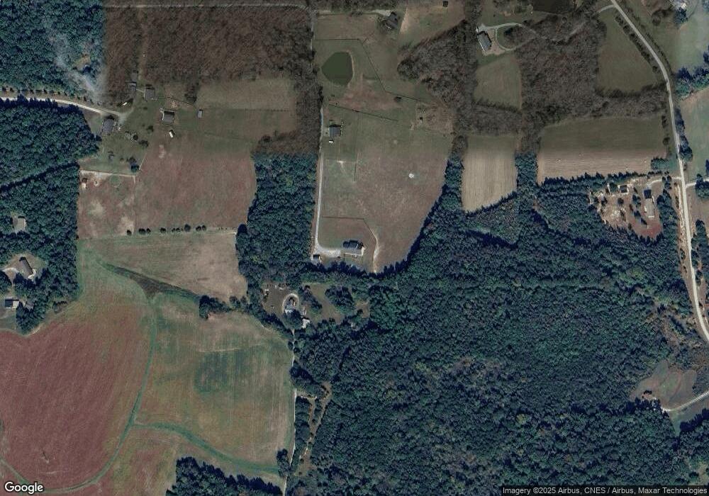
Map
Nearby Homes
- 122 Old Surl Rd
- 0 Old Surl Rd
- 1469 Mollie Mooney Rd
- 0 Doc Bass Rd
- 95 Doc Bass Rd
- 2201 Mollie Mooney Rd
- 00 Pulliam-Tingen Mine Rd
- 670 Tingen Mine Rd
- 243 Victor Chandler Rd
- Tract D Antioch Church Rd
- Tract E Antioch Church Rd
- Tract F Antioch Church Rd
- 576 Duncan Rd
- 2735 Lucy Garrett Rd
- 21 Piney Forest Rd
- 1002 Dennys Store Rd
- 771 Cedar Grove Church Rd
- 0 Cedar Grove Church Rd Unit 10077427
- 0 Cedar Grove Church Rd Unit 10075146
- O Shortline Rd
- 602 Mollie Mooney Rd
- 625 Mollie Mooney Rd
- 530 Mollie Mooney Rd
- 530 Mollie Mooney Rd
- 884 Mollie Mooney Rd
- 959 Mollie Mooney Rd
- 350 Mollie Mooney Rd
- 531 Valhalla Dr
- 481 Valhalla Dr
- 195 Walnut Tree Ln
- 175 Mollie Mooney Rd
- 200 Old Surl Rd
- 178 Old Surl Rd
- 1164 Mollie Mooney Rd
- 106 Old Surl Rd
- 1163 Mollie Mooney Rd
- 70 Old Surl Rd
- TBD Old Surl Rd
- 107 Oak Park Dr
- 4711 Oxford Rd