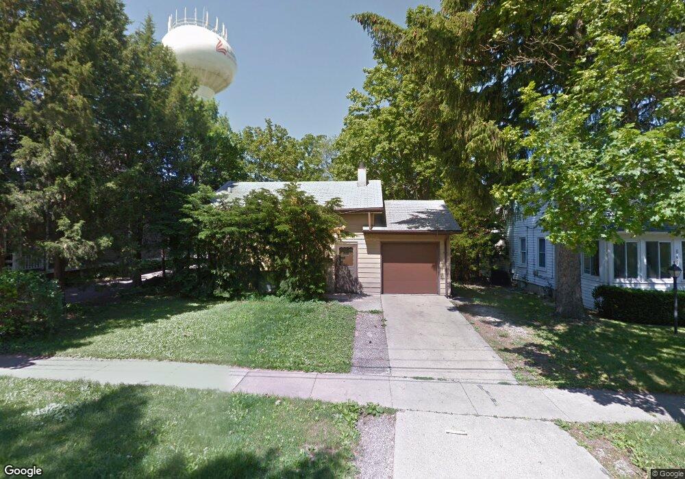
605 1st St Libertyville, IL 60048
Estimated Value: $577,000 - $752,000
--
Bed
1
Bath
1,862
Sq Ft
$364/Sq Ft
Est. Value
About This Home
This home is located at 605 1st St, Libertyville, IL 60048 and is currently estimated at $677,406, approximately $363 per square foot. 605 1st St is a home located in Lake County with nearby schools including Butterfield School, Highland Middle School, and Libertyville High School.
Ownership History
Date
Name
Owned For
Owner Type
Purchase Details
Closed on
Jun 1, 2018
Sold by
Mcmahon John B
Bought by
Mcmahon John B and Kellogg Sarah J
Current Estimated Value
Purchase Details
Closed on
Apr 30, 2016
Sold by
Mcmahon John Barry and Meier Kim L
Bought by
Mcmahon John Barry
Purchase Details
Closed on
Jun 30, 2015
Sold by
Mitchell Carol J and Roger J Mitchell Trust
Bought by
Mcmahon John Barry and Meier Kim L
Purchase Details
Closed on
Jun 23, 2013
Sold by
Mitchell Roger J and Mitchell Carol J
Bought by
Mitchell Roger J and Roger J Mitchell Trust
Create a Home Valuation Report for This Property
The Home Valuation Report is an in-depth analysis detailing your home's value as well as a comparison with similar homes in the area
Home Values in the Area
Average Home Value in this Area
Purchase History
| Date | Buyer | Sale Price | Title Company |
|---|---|---|---|
| Mcmahon John B | -- | None Available | |
| Mcmahon John Barry | -- | Attorney | |
| Mcmahon John Barry | $223,000 | Ct | |
| Mitchell Roger J | -- | None Available |
Source: Public Records
Tax History Compared to Growth
Tax History
| Year | Tax Paid | Tax Assessment Tax Assessment Total Assessment is a certain percentage of the fair market value that is determined by local assessors to be the total taxable value of land and additions on the property. | Land | Improvement |
|---|---|---|---|---|
| 2024 | $14,683 | $215,012 | $87,248 | $127,764 |
| 2023 | $15,745 | $198,314 | $80,472 | $117,842 |
| 2022 | $15,745 | $207,874 | $77,347 | $130,527 |
| 2021 | $15,153 | $203,399 | $75,682 | $127,717 |
| 2020 | $14,578 | $199,980 | $74,410 | $125,570 |
| 2019 | $14,728 | $204,806 | $73,702 | $131,104 |
| 2018 | $12,770 | $203,722 | $76,668 | $127,054 |
| 2017 | $11,187 | $160,379 | $74,248 | $86,131 |
| 2016 | $5,387 | $70,397 | $70,397 | $0 |
| 2015 | $6,670 | $87,364 | $65,798 | $21,566 |
| 2014 | $6,763 | $79,807 | $60,106 | $19,701 |
| 2012 | $6,515 | $82,142 | $61,865 | $20,277 |
Source: Public Records
Map
Nearby Homes
- 224 Newberry Ave
- 217 E Church St
- 922 N Milwaukee Ave Unit A
- 212 Elm Ct
- 601 Broadway St
- 1211 Parliament Ct
- 204 W Ellis Ave
- 208 W Ellis Ave
- 212 W Ellis Ave
- 121 4th St
- 112 3rd St
- 505 Lange Ct
- 420 W Cook Ave
- 619 Parkside Ct
- 616 Parkside Ct
- 308 Mckinley Ave
- 662 Parkside Ct
- 1754 Glenmore Rd
- 694 Parkside Ct
- 426 S Milwaukee Ave