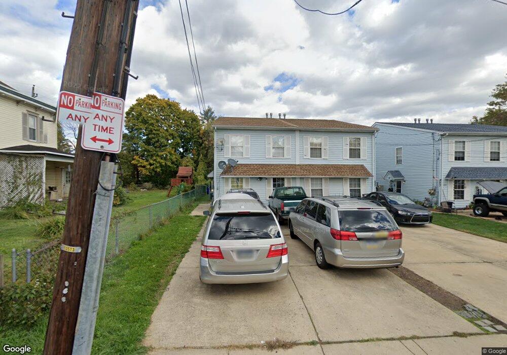
605 Maple Ave Philadelphia, PA 19116
Somerton NeighborhoodEstimated Value: $461,000 - $557,000
--
Bed
--
Bath
2,000
Sq Ft
$254/Sq Ft
Est. Value
About This Home
This home is located at 605 Maple Ave, Philadelphia, PA 19116 and is currently estimated at $509,000, approximately $254 per square foot. 605 Maple Ave is a home with nearby schools including Watson Comly School, CCA Baldi Middle School, and George Washington High School.
Ownership History
Date
Name
Owned For
Owner Type
Purchase Details
Closed on
Feb 27, 2006
Sold by
Kutty Mathai Abraham and Kutty Mathai Mary
Bought by
Kutty Mathai Abraham and Kutty Mathai Mary
Current Estimated Value
Home Financials for this Owner
Home Financials are based on the most recent Mortgage that was taken out on this home.
Original Mortgage
$103,526
Interest Rate
6.16%
Mortgage Type
Commercial
Create a Home Valuation Report for This Property
The Home Valuation Report is an in-depth analysis detailing your home's value as well as a comparison with similar homes in the area
Home Values in the Area
Average Home Value in this Area
Purchase History
| Date | Buyer | Sale Price | Title Company |
|---|---|---|---|
| Kutty Mathai Abraham | $140,000 | First American Title Ins Co |
Source: Public Records
Mortgage History
| Date | Status | Borrower | Loan Amount |
|---|---|---|---|
| Closed | Kutty Mathai Abraham | $103,526 |
Source: Public Records
Tax History Compared to Growth
Tax History
| Year | Tax Paid | Tax Assessment Tax Assessment Total Assessment is a certain percentage of the fair market value that is determined by local assessors to be the total taxable value of land and additions on the property. | Land | Improvement |
|---|---|---|---|---|
| 2026 | $3,491 | $470,000 | $94,000 | $376,000 |
| 2025 | $3,491 | $470,000 | $94,000 | $376,000 |
| 2024 | $3,491 | $470,000 | $94,000 | $376,000 |
| 2023 | $3,491 | $249,400 | $49,880 | $199,520 |
| 2022 | $3,491 | $249,400 | $49,880 | $199,520 |
| 2021 | $3,346 | $0 | $0 | $0 |
| 2020 | $3,346 | $0 | $0 | $0 |
| 2019 | $3,150 | $0 | $0 | $0 |
| 2018 | $2,674 | $0 | $0 | $0 |
| 2017 | $2,674 | $0 | $0 | $0 |
| 2016 | $2,674 | $0 | $0 | $0 |
| 2015 | -- | $0 | $0 | $0 |
| 2014 | -- | $191,000 | $67,432 | $123,568 |
| 2012 | -- | $27,360 | $3,899 | $23,461 |
Source: Public Records
Map
Nearby Homes
- 600 Edison Ave Unit 606
- 613 Poquessing Ave
- 611 Edison Ave Unit C
- 612 Poquessing Ave
- 13441 Trevose Rd
- 13250 Trevose Rd
- 511 Smithfield Ave
- 301 Byberry Rd Unit F7
- 14044 Erwin St
- 13049 Lindsay St
- 11 Hilltop Rd
- 13053 Dorothy Dr
- 76 Lilly Dr
- 100 Overhill Ave
- 66 Lilly Dr
- 15 Roy Ln
- 300 Byberry Rd Unit 303
- 21 Roy Ln
- 290 Byberry Rd Unit 2
- 290 Byberry Rd Unit 18
- 607 Maple Ave
- 609 Maple Ave
- 603 Maple Ave
- 601 Maple Ave
- 613 Maple Ave
- 615 Maple Ave
- 606 Maple Ave
- 604 Maple Ave
- 608 Maple Ave
- 610 Maple Ave
- 600 Maple Ave
- 619 Maple Ave
- 612 Maple Ave
- 617 Maple Ave
- 600 Edison Ave Unit 612
- 600 Edison Ave Unit 618
- 600 Edison Ave Unit 648A
- 600 Edison Ave Unit 634
- 600 Edison Ave Unit 648B
- 600 Edison Ave Unit 646