605 Ward Rd Swansboro, NC 28584
Estimated Value: $241,000 - $275,000
3
Beds
2
Baths
1,134
Sq Ft
$230/Sq Ft
Est. Value
About This Home
This home is located at 605 Ward Rd, Swansboro, NC 28584 and is currently estimated at $261,104, approximately $230 per square foot. 605 Ward Rd is a home located in Onslow County with nearby schools including Swansboro Elementary School, Swansboro Middle School, and Swansboro High School.
Ownership History
Date
Name
Owned For
Owner Type
Purchase Details
Closed on
Oct 31, 2012
Sold by
Lilley Joan D and Hatchell James Albert
Bought by
Currie David Jay
Current Estimated Value
Home Financials for this Owner
Home Financials are based on the most recent Mortgage that was taken out on this home.
Original Mortgage
$92,000
Outstanding Balance
$63,993
Interest Rate
3.53%
Mortgage Type
New Conventional
Estimated Equity
$197,111
Purchase Details
Closed on
Feb 18, 2009
Sold by
Hatchell Myrtle C
Bought by
Lilley Joan D and Hatchell James Albert
Purchase Details
Closed on
Feb 17, 2009
Sold by
Hatchell Myrtle C and Myrtle C Hatchell Revocable Li
Bought by
Hatchell Myrtle C
Create a Home Valuation Report for This Property
The Home Valuation Report is an in-depth analysis detailing your home's value as well as a comparison with similar homes in the area
Home Values in the Area
Average Home Value in this Area
Purchase History
| Date | Buyer | Sale Price | Title Company |
|---|---|---|---|
| Currie David Jay | $115,000 | None Available | |
| Lilley Joan D | -- | None Available | |
| Hatchell Myrtle C | -- | None Available |
Source: Public Records
Mortgage History
| Date | Status | Borrower | Loan Amount |
|---|---|---|---|
| Open | Currie David Jay | $92,000 |
Source: Public Records
Tax History Compared to Growth
Tax History
| Year | Tax Paid | Tax Assessment Tax Assessment Total Assessment is a certain percentage of the fair market value that is determined by local assessors to be the total taxable value of land and additions on the property. | Land | Improvement |
|---|---|---|---|---|
| 2025 | $901 | $133,387 | $50,880 | $82,507 |
| 2024 | $901 | $137,507 | $55,000 | $82,507 |
| 2023 | $901 | $137,507 | $55,000 | $82,507 |
| 2022 | $901 | $137,507 | $55,000 | $82,507 |
| 2021 | $702 | $99,590 | $40,000 | $59,590 |
| 2020 | $702 | $99,590 | $40,000 | $59,590 |
| 2019 | $702 | $99,590 | $40,000 | $59,590 |
| 2018 | $702 | $99,590 | $40,000 | $59,590 |
| 2017 | $567 | $84,040 | $20,000 | $64,040 |
| 2016 | $567 | $84,040 | $0 | $0 |
| 2015 | $567 | $84,040 | $0 | $0 |
| 2014 | $567 | $84,040 | $0 | $0 |
Source: Public Records
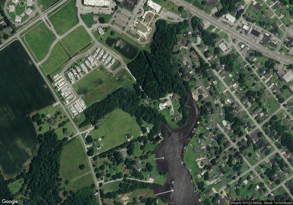
Map
Nearby Homes
- 499 Ward Rd
- Lot #6 Ward Rd
- 651 W Shore Dr
- 203 Villagers Way
- 209 Villagers Way
- 403 W Spring St
- 301 S Chestnut St
- 303 S Elm St
- 661 Main Street Extension
- 1136 &1132 Glancy Rd
- 1128 Glancy Rd
- 502 Main Street Extension Unit 107
- 104 Tundra Trail
- Lot 2 Point
- 120 Tundra Trail
- 1171 Mount Pleasant Rd
- 1 Portwest Townhouses Dr Unit D
- 109 Creek End Ct
- 111 Creek End Ct
- 122 Forest Ln
- 498 Ward Rd
- 161 Deer Island Rd
- 500 Ward Rd
- 157 Deer Island Rd
- 163 Deer Island Rd
- 639 W Shore Dr
- 637 W Shore Dr
- 643 W Shore Dr
- 216 Ward Rd
- 104 New Towne Rd
- 645 W Shore Dr
- 631 W Shore Dr
- 165 Deer Island Rd
- 647 W Shore Dr
- 212 Ward Rd
- 627 W Shore Dr
- 151 Deer Island Rd
- 151 Deer Island Rd
- 621 W Shore Dr
- 210 Ward Rd