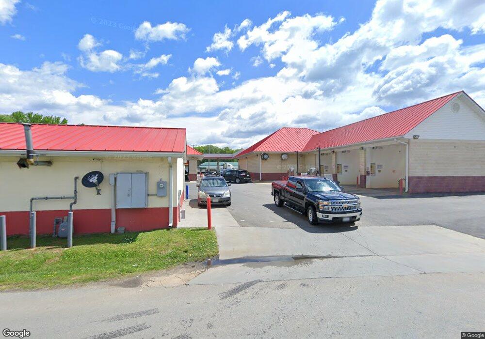
606 E Atlantic St South Hill, VA 23970
Estimated Value: $901,185
--
Bed
--
Bath
3,417
Sq Ft
$264/Sq Ft
Est. Value
About This Home
This home is located at 606 E Atlantic St, South Hill, VA 23970 and is currently priced at $901,185, approximately $263 per square foot. 606 E Atlantic St is a home located in Mecklenburg County with nearby schools including First Christian School.
Ownership History
Date
Name
Owned For
Owner Type
Purchase Details
Closed on
Aug 14, 2008
Sold by
Park Oil Company Inc
Bought by
Southside Oil Llc
Current Estimated Value
Home Financials for this Owner
Home Financials are based on the most recent Mortgage that was taken out on this home.
Original Mortgage
$35,656,250
Outstanding Balance
$23,482,450
Interest Rate
6.4%
Create a Home Valuation Report for This Property
The Home Valuation Report is an in-depth analysis detailing your home's value as well as a comparison with similar homes in the area
Home Values in the Area
Average Home Value in this Area
Purchase History
| Date | Buyer | Sale Price | Title Company |
|---|---|---|---|
| Southside Oil Llc | $500,000 | -- | |
| Southside Investments Llc | $400,000 | -- |
Source: Public Records
Mortgage History
| Date | Status | Borrower | Loan Amount |
|---|---|---|---|
| Open | Southside Investments Llc | $35,656,250 |
Source: Public Records
Tax History Compared to Growth
Tax History
| Year | Tax Paid | Tax Assessment Tax Assessment Total Assessment is a certain percentage of the fair market value that is determined by local assessors to be the total taxable value of land and additions on the property. | Land | Improvement |
|---|---|---|---|---|
| 2024 | $5,487 | $1,524,100 | $646,000 | $878,100 |
| 2023 | $5,672 | $1,418,000 | $646,000 | $772,000 |
| 2022 | $5,672 | $1,418,000 | $646,000 | $772,000 |
| 2021 | $4,456 | $1,061,000 | $400,000 | $661,000 |
| 2020 | $4,378 | $1,042,400 | $400,000 | $642,400 |
| 2019 | $430 | $1,024,500 | $400,000 | $624,500 |
| 2018 | $4,303 | $1,024,500 | $400,000 | $624,500 |
| 2017 | $4,303 | $1,024,500 | $400,000 | $624,500 |
| 2016 | $4,303 | $1,024,500 | $400,000 | $624,500 |
| 2015 | -- | $962,300 | $400,000 | $562,300 |
| 2013 | -- | $962,300 | $400,000 | $562,300 |
Source: Public Records
Map
Nearby Homes
- TBD E Main St
- 00 E Main St
- 603 Franklin St
- 726 E Northington St
- 821 Northington St
- 729 Marrow St
- 00 Maple Ln
- 816 Marrow St
- 404 Benton St
- 0 Maple Lane (8 9 Acres) Unit 135621
- 0 Unit 56710
- 205 N Brunswick Ave
- 211 N Brunswick Ave
- 0 E Ferrell St Unit 136133
- 238 Beaver Creek Dr
- 622 N Lunenburg Ave
- 306 Chaptico Rd
- 860 Country Ln
- 820 Country Ln
- 000 Locust St
- 618 E Atlantic St
- 602 E Atlantic St
- 609 E Atlantic St
- 555 E Main St
- 526 E Atlantic St
- 531 E Atlantic St
- 622 E Atlantic St
- 524 E Atlantic St
- 102 Maple Ln
- 105 Mccracken St
- 200 Maple Ln
- 522 E Atlantic St
- 288 Circle Dr
- 109 Mccracken St
- 623 E Atlantic St
- 520 E Atlantic St
- 523 E Atlantic St
- 519 E Atlantic St
- 642 Northington St
- 518 E Atlantic St