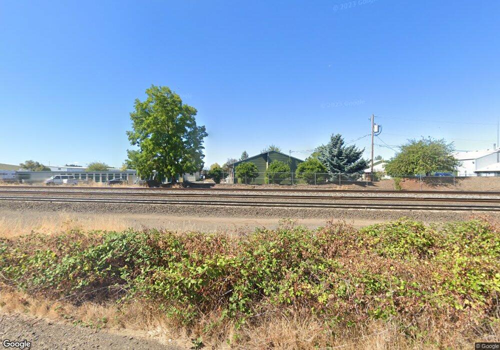
606 Queen Ave SW Albany, OR 97322
West Albany NeighborhoodEstimated Value: $1,022,169
--
Bed
--
Bath
4,240
Sq Ft
$241/Sq Ft
Est. Value
About This Home
This home is located at 606 Queen Ave SW, Albany, OR 97322 and is currently priced at $1,022,169, approximately $241 per square foot. 606 Queen Ave SW is a home located in Linn County with nearby schools including Liberty Elementary School, Memorial Middle School, and West Albany High School.
Ownership History
Date
Name
Owned For
Owner Type
Purchase Details
Closed on
Jun 23, 2020
Sold by
Mchenry Remodeling Llc
Bought by
Emroe Properties Llc
Current Estimated Value
Purchase Details
Closed on
Feb 22, 2008
Sold by
Ferguson Investments Llc
Bought by
Pollard Investments Llc
Purchase Details
Closed on
Feb 14, 2008
Sold by
Ferguson Investments Llc
Bought by
Pollard Investments Llc
Purchase Details
Closed on
Apr 18, 2007
Sold by
Ferguson Bruce E and Ferguson Barbara S
Bought by
Ferguson Investments Llc
Create a Home Valuation Report for This Property
The Home Valuation Report is an in-depth analysis detailing your home's value as well as a comparison with similar homes in the area
Home Values in the Area
Average Home Value in this Area
Purchase History
| Date | Buyer | Sale Price | Title Company |
|---|---|---|---|
| Emroe Properties Llc | -- | Ticor Title Company Of Or | |
| Pollard Investments Llc | $330,000 | Amerititle | |
| Pollard Investments Llc | $330,000 | Amerititle | |
| Ferguson Investments Llc | -- | None Available |
Source: Public Records
Tax History Compared to Growth
Tax History
| Year | Tax Paid | Tax Assessment Tax Assessment Total Assessment is a certain percentage of the fair market value that is determined by local assessors to be the total taxable value of land and additions on the property. | Land | Improvement |
|---|---|---|---|---|
| 2025 | $23,149 | $1,163,150 | -- | -- |
| 2024 | $22,476 | $1,129,280 | -- | -- |
| 2023 | $21,837 | $1,096,390 | $0 | $0 |
| 2022 | $21,492 | $1,064,460 | $0 | $0 |
| 2021 | $19,528 | $997,800 | $0 | $0 |
| 2020 | $6,345 | $319,000 | $0 | $0 |
| 2019 | $6,196 | $309,710 | $0 | $0 |
| 2018 | $6,036 | $300,690 | $0 | $0 |
| 2017 | $5,860 | $291,940 | $0 | $0 |
| 2016 | $5,462 | $283,440 | $0 | $0 |
| 2015 | $4,608 | $236,540 | $0 | $0 |
| 2014 | $4,493 | $229,660 | $0 | $0 |
Source: Public Records
Map
Nearby Homes
- 515 SW Queen Ave
- 520 Pacific Blvd SW
- 955 21st Ave SW
- 700 14th Ave SW
- 126 Lyon Ct SW
- 1220 Walnut St SW
- 516 12th Ave SW
- 906 11th Ave SW
- 1248 Penn St SW
- 2175 Marion St SE
- 1417 Fern Place SW
- 834 9th Ave SW
- 1138 9th Ave SW
- 1420 Park Terrace SW
- 430 25th Ave SE
- 1510 Broadway St SW
- 1620 16th Ave SW
- 718 Washington St SW
- 2000 Thurston St SE
- 1215 10th Ave SW
- 610 Queen Ave SW
- 620 SW Queen Ave
- 530 19th Ave SW
- 535 20th Ave SW
- 525 20th Ave SW
- 520 20th Ave SW
- 520 20th Ave SW
- 2085 Pacific Blvd SW
- 520 19th Ave SW
- 516 19th Ave SW
- 2034 & 2036 Washington St SW
- 514 19th Ave SW
- 510 20th Ave SW
- 1930 Washington St SW
- 525 19th Ave SW
- 510 19th Ave SW
- 1928 SW Washington St
- 1926 SW Washington St
- 2010 Washington St SW
- 2030 Washington St SW
