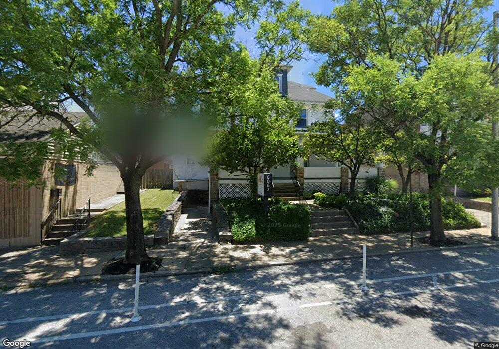
6067 Harford Rd Baltimore, MD 21214
Westfield NeighborhoodEstimated Value: $361,694
--
Bed
--
Bath
6,378
Sq Ft
$57/Sq Ft
Est. Value
About This Home
This home is located at 6067 Harford Rd, Baltimore, MD 21214 and is currently estimated at $361,694, approximately $56 per square foot. 6067 Harford Rd is a home located in Baltimore City with nearby schools including Hamilton Elementary Middle School, Booker T. Washington Middle School, and Paul Laurence Dunbar High School.
Ownership History
Date
Name
Owned For
Owner Type
Purchase Details
Closed on
Nov 5, 2024
Sold by
Childrens Choice Property Two
Bought by
Secured Health And Human Services Llc
Current Estimated Value
Home Financials for this Owner
Home Financials are based on the most recent Mortgage that was taken out on this home.
Original Mortgage
$243,600
Outstanding Balance
$241,317
Interest Rate
6.44%
Mortgage Type
New Conventional
Estimated Equity
$120,377
Purchase Details
Closed on
Nov 19, 2004
Sold by
Kennedy Shannon P
Bought by
Children'S Choice Property Two
Create a Home Valuation Report for This Property
The Home Valuation Report is an in-depth analysis detailing your home's value as well as a comparison with similar homes in the area
Home Values in the Area
Average Home Value in this Area
Purchase History
| Date | Buyer | Sale Price | Title Company |
|---|---|---|---|
| Secured Health And Human Services Llc | $348,000 | Title Forward | |
| Secured Health And Human Services Llc | $348,000 | Title Forward | |
| Children'S Choice Property Two | $460,000 | -- |
Source: Public Records
Mortgage History
| Date | Status | Borrower | Loan Amount |
|---|---|---|---|
| Open | Secured Health And Human Services Llc | $243,600 | |
| Closed | Secured Health And Human Services Llc | $243,600 |
Source: Public Records
Tax History Compared to Growth
Tax History
| Year | Tax Paid | Tax Assessment Tax Assessment Total Assessment is a certain percentage of the fair market value that is determined by local assessors to be the total taxable value of land and additions on the property. | Land | Improvement |
|---|---|---|---|---|
| 2025 | $10,613 | $462,833 | -- | -- |
| 2024 | $10,613 | $453,100 | $84,000 | $369,100 |
| 2023 | $0 | $451,400 | $0 | $0 |
| 2022 | $10,613 | $449,700 | $0 | $0 |
| 2021 | $10,573 | $448,000 | $84,000 | $364,000 |
| 2020 | $0 | $448,000 | $84,000 | $364,000 |
| 2019 | $10,903 | $448,000 | $84,000 | $364,000 |
| 2018 | $10,903 | $462,000 | $84,000 | $378,000 |
| 2017 | $10,607 | $449,433 | $0 | $0 |
| 2016 | -- | $436,867 | $0 | $0 |
| 2015 | -- | $424,300 | $0 | $0 |
| 2014 | -- | $424,300 | $0 | $0 |
Source: Public Records
Map
Nearby Homes
- 2926 Christopher Ave
- 3018 Mary Ave
- 3013 Westfield Ave
- 6110 Old Harford Rd
- 2905 Westfield Ave
- 5921 Burgess Ave
- 2821 Hemlock Ave
- 6015 Sefton Ave
- 2810 Roselawn Ave
- 6113 Sefton Ave
- 5919 Sefton Ave
- 6405 Sefton Ave
- 2924 Fleetwood Ave
- 2714 Louise Ave
- 3027 Fleetwood Ave
- 3400 Glenmore Ave
- 2715 Bayonne Ave
- 2803 Fleetwood Ave
- 3105 Evergreen Ave
- 3107 Evergreen Ave
- 6065 Harford Rd Unit C
- 6065 Harford Rd Unit B
- 6065 Harford Rd Unit A
- 6065 Harford Rd
- 6077 Harford Rd
- 6063 Harford Rd
- 6061 Harford Rd
- 6059 Harford Rd
- 6057 Harford Rd
- 3001 Christopher Ave
- 6055 Harford Rd
- 3003 Christopher Ave
- 6036 Harford Rd
- 6034 Harford Rd
- 6040 Harford Rd
- 6017 Harford Rd
- 6044 Harford Rd
- 3005 Christopher Ave
- 3002 Christopher Ave
- 6105 Harford Rd