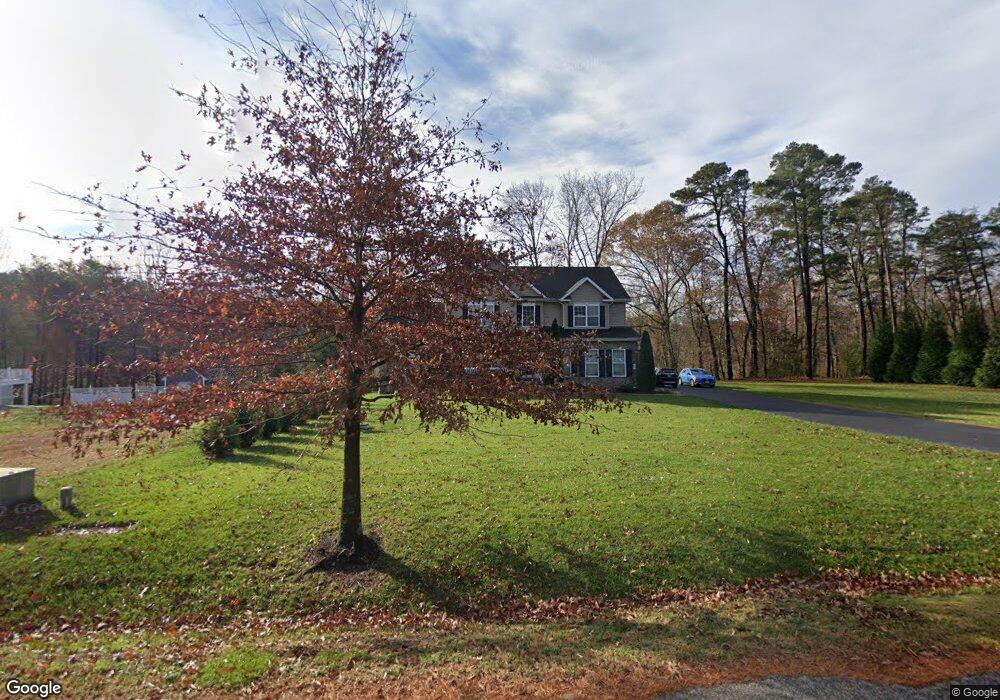
607 Queenstown Rd Severn, MD 21144
Estimated Value: $513,000 - $885,000
3
Beds
3
Baths
1,700
Sq Ft
$445/Sq Ft
Est. Value
About This Home
This home is located at 607 Queenstown Rd, Severn, MD 21144 and is currently estimated at $756,346, approximately $444 per square foot. 607 Queenstown Rd is a home located in Anne Arundel County with nearby schools including Richard Henry Lee Elementary School, Corkran Middle School, and Glen Burnie High School.
Ownership History
Date
Name
Owned For
Owner Type
Purchase Details
Closed on
Dec 22, 2010
Sold by
Queenstown Road Llc
Bought by
Mcclymont Ursula B
Current Estimated Value
Home Financials for this Owner
Home Financials are based on the most recent Mortgage that was taken out on this home.
Original Mortgage
$448,800
Outstanding Balance
$299,816
Interest Rate
4.44%
Mortgage Type
New Conventional
Estimated Equity
$456,530
Create a Home Valuation Report for This Property
The Home Valuation Report is an in-depth analysis detailing your home's value as well as a comparison with similar homes in the area
Home Values in the Area
Average Home Value in this Area
Purchase History
| Date | Buyer | Sale Price | Title Company |
|---|---|---|---|
| Mcclymont Ursula B | $563,485 | -- |
Source: Public Records
Mortgage History
| Date | Status | Borrower | Loan Amount |
|---|---|---|---|
| Open | Mcclymont Ursula B | $448,800 |
Source: Public Records
Tax History Compared to Growth
Tax History
| Year | Tax Paid | Tax Assessment Tax Assessment Total Assessment is a certain percentage of the fair market value that is determined by local assessors to be the total taxable value of land and additions on the property. | Land | Improvement |
|---|---|---|---|---|
| 2025 | $7,087 | $686,800 | $172,800 | $514,000 |
| 2024 | $7,087 | $653,800 | $0 | $0 |
| 2023 | $6,415 | $620,800 | $0 | $0 |
| 2022 | $6,427 | $587,800 | $182,800 | $405,000 |
| 2021 | $12,632 | $581,767 | $0 | $0 |
| 2020 | $6,169 | $575,733 | $0 | $0 |
| 2019 | $6,067 | $569,700 | $152,800 | $416,900 |
| 2018 | $5,777 | $569,700 | $152,800 | $416,900 |
| 2017 | $5,722 | $569,700 | $0 | $0 |
| 2016 | -- | $588,800 | $0 | $0 |
| 2015 | -- | $552,133 | $0 | $0 |
| 2014 | -- | $515,467 | $0 | $0 |
Source: Public Records
Map
Nearby Homes
- 629 Queenstown Rd
- 535 Arundel Ave
- 511 Jones Rd
- 0 Jeffrey Ave Unit MDAA2115638
- 771 Queenstown Rd
- 900 S Wieker Rd
- 7867 Chestnut Leaf Rd
- 911 S Wieker Rd
- 564 Eason Dr
- 227 Jenkins Way
- 207 Jenkins Way
- 217 Jenkins Way
- 7711 Phelps Farm Ln
- 480 West Ct
- 802 Lucky Rd
- 594 Glen Ct
- 418 Rose Ave
- 7641 Hennesey Ct
- 7406 Locust Dr
- 0 Musical Way
- 605 Queenstown Rd
- 609 Queenstown Rd
- 603 Queenstown Rd
- 0 Queenstown Rd Unit AA8102349
- 623 Queenstown Rd
- 621 Queenstown Rd
- 601 Queenstown Rd
- 633 Queenstown Rd
- 635 Queenstown Rd
- 600 Queenstown Rd
- 651 Queenstown Rd
- 651 Queenstown Rd Unit A
- 640 Queenstown Rd
- 585 Queenstown Rd
- 652 Queenstown Rd
- 643 Queenstown Rd
- 7618 Ayrshire Ct
- 7620 Ayrshire Ct
- 7622 Ayrshire Ct
- 504 Shaw Ct