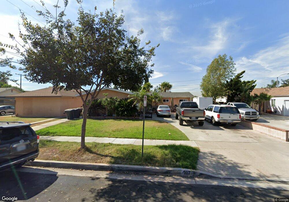
607 S Bronwyn Dr Anaheim, CA 92804
West Anaheim NeighborhoodEstimated Value: $904,000 - $977,000
3
Beds
2
Baths
1,229
Sq Ft
$764/Sq Ft
Est. Value
About This Home
This home is located at 607 S Bronwyn Dr, Anaheim, CA 92804 and is currently estimated at $938,966, approximately $764 per square foot. 607 S Bronwyn Dr is a home located in Orange County with nearby schools including Baden-Powell Elementary School, Dale Jr High School, and Magnolia High.
Ownership History
Date
Name
Owned For
Owner Type
Purchase Details
Closed on
Dec 6, 2005
Sold by
Ortiz Jessica
Bought by
Gonzalez Jose Luis
Current Estimated Value
Home Financials for this Owner
Home Financials are based on the most recent Mortgage that was taken out on this home.
Original Mortgage
$468,000
Outstanding Balance
$280,230
Interest Rate
7.6%
Mortgage Type
Purchase Money Mortgage
Estimated Equity
$658,736
Purchase Details
Closed on
Nov 21, 2005
Sold by
Kazempoor Mansoor and Barekzai Karima
Bought by
Gonzalez Jose Luis and Gonzalez Maria Del Pilar
Home Financials for this Owner
Home Financials are based on the most recent Mortgage that was taken out on this home.
Original Mortgage
$468,000
Outstanding Balance
$280,230
Interest Rate
7.6%
Mortgage Type
Purchase Money Mortgage
Estimated Equity
$658,736
Purchase Details
Closed on
Apr 26, 2005
Sold by
Kazempoor Mansoor
Bought by
Barekzai Karima
Purchase Details
Closed on
Apr 29, 2004
Sold by
Nguyen Trang My T
Bought by
Kazempoor Mansoor
Home Financials for this Owner
Home Financials are based on the most recent Mortgage that was taken out on this home.
Original Mortgage
$378,400
Interest Rate
6%
Mortgage Type
Purchase Money Mortgage
Purchase Details
Closed on
Nov 7, 2002
Sold by
Nguyen Co Thanh
Bought by
Nguyen Trang My T
Home Financials for this Owner
Home Financials are based on the most recent Mortgage that was taken out on this home.
Original Mortgage
$240,000
Interest Rate
5.95%
Purchase Details
Closed on
Oct 2, 2002
Sold by
Urdea John N and Urdea Adrienn T
Bought by
Nguyen Trang My T
Home Financials for this Owner
Home Financials are based on the most recent Mortgage that was taken out on this home.
Original Mortgage
$240,000
Interest Rate
5.95%
Purchase Details
Closed on
Aug 31, 2001
Sold by
Cole Robert W
Bought by
Urdea John N and Urdea Adrienn T
Home Financials for this Owner
Home Financials are based on the most recent Mortgage that was taken out on this home.
Original Mortgage
$242,838
Interest Rate
6.91%
Mortgage Type
FHA
Purchase Details
Closed on
Jun 30, 1994
Sold by
Lane Jimmie Ladd and Lane Juanita Beverly
Bought by
Coie Robert W
Home Financials for this Owner
Home Financials are based on the most recent Mortgage that was taken out on this home.
Original Mortgage
$154,499
Interest Rate
8.73%
Mortgage Type
FHA
Create a Home Valuation Report for This Property
The Home Valuation Report is an in-depth analysis detailing your home's value as well as a comparison with similar homes in the area
Home Values in the Area
Average Home Value in this Area
Purchase History
| Date | Buyer | Sale Price | Title Company |
|---|---|---|---|
| Gonzalez Jose Luis | -- | Multiple | |
| Gonzalez Jose Luis | $585,000 | Multiple | |
| Barekzai Karima | -- | -- | |
| Kazempoor Mansoor | $473,000 | Fidelity National Title Comp | |
| Nguyen Trang My T | -- | Commonwealth Land Title | |
| Nguyen Trang My T | $322,000 | Commonwealth Land Title | |
| Urdea John N | $250,000 | Equity Title Company | |
| Coie Robert W | $158,000 | First American Title Ins Co |
Source: Public Records
Mortgage History
| Date | Status | Borrower | Loan Amount |
|---|---|---|---|
| Open | Gonzalez Jose Luis | $468,000 | |
| Previous Owner | Kazempoor Mansoor | $378,400 | |
| Previous Owner | Nguyen Trang My T | $240,000 | |
| Previous Owner | Urdea John N | $242,838 | |
| Previous Owner | Coie Robert W | $154,499 | |
| Closed | Kazempoor Mansoor | $94,600 |
Source: Public Records
Tax History Compared to Growth
Tax History
| Year | Tax Paid | Tax Assessment Tax Assessment Total Assessment is a certain percentage of the fair market value that is determined by local assessors to be the total taxable value of land and additions on the property. | Land | Improvement |
|---|---|---|---|---|
| 2025 | $8,864 | $799,443 | $720,018 | $79,425 |
| 2024 | $8,864 | $783,768 | $705,900 | $77,868 |
| 2023 | $8,638 | $768,400 | $692,058 | $76,342 |
| 2022 | $6,805 | $591,987 | $530,302 | $61,685 |
| 2021 | $6,725 | $580,380 | $519,904 | $60,476 |
| 2020 | $6,755 | $580,380 | $519,904 | $60,476 |
| 2019 | $6,585 | $569,000 | $509,709 | $59,291 |
| 2018 | $6,066 | $518,000 | $458,709 | $59,291 |
| 2017 | $5,960 | $518,000 | $458,709 | $59,291 |
| 2016 | $5,142 | $436,000 | $376,709 | $59,291 |
| 2015 | $5,172 | $436,000 | $376,709 | $59,291 |
| 2014 | $4,200 | $361,000 | $301,709 | $59,291 |
Source: Public Records
Map
Nearby Homes
- 2945 W Bridgeport Ave
- 507 S Shields Dr
- 619 S Shields Dr
- 716 S Hayward St Unit 2
- 2942 W Floyd Ave
- 231 S Laxore St
- 235 S Beach Blvd Unit 132
- 900 S Hayward St
- 211 S Beach Blvd Unit 92
- 103 S Laxore St
- 106 S Laxore St Unit 407
- 107 S Laxore St
- 1223 S Dale Ave
- Plan Two at Mason
- Plan Four at Mason
- Plan Three at Mason
- Plan Seven at Mason
- 109 S Laxore St
- 2770 W Lincoln Ave Unit 40
- 2770 W Lincoln Ave Unit 58
- 611 S Bronwyn Dr
- 603 S Bronwyn Dr
- 615 S Bronwyn Dr
- 2913 W Rogers Ct
- 2910 W Orange Ave
- 2872 W Orange Ave
- 619 S Bronwyn Dr
- 2917 W Rogers Ct
- 612 S Bronwyn Dr
- 515 S Bel Air St
- 2868 W Orange Ave
- 616 S Bronwyn Dr
- 514 S Broder St
- 623 S Bronwyn Dr
- 620 S Bronwyn Dr
- 2922 W Orange Ave
- 511 S Bel Air St
- 2923 W Rogers Ct
- 2864 W Orange Ave
- 2873 W Orange Ave