Estimated Value: $258,000
3
Beds
2
Baths
1,764
Sq Ft
$146/Sq Ft
Est. Value
About This Home
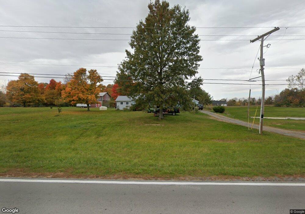
This home is located at 6073 State Route 235, Alger, OH 45812 and is currently estimated at $258,000, approximately $146 per square foot. 6073 State Route 235 is a home located in Hardin County with nearby schools including Upper Scioto Valley Elementary School, Upper Scioto Valley Middle School, and Upper Scioto Valley High School.
Ownership History
Date
Name
Owned For
Owner Type
Purchase Details
Closed on
Apr 20, 2022
Sold by
Hunsicker Family Revocable Living Trust
Bought by
Hunsicker Harvey Duane and Hunsicker Melanie L
Current Estimated Value
Purchase Details
Closed on
Aug 25, 2017
Sold by
Hunsicker Steven D
Bought by
Hunsicker Glenda and The Hunsicker Family Revocable Living Tr
Purchase Details
Closed on
Feb 7, 2002
Bought by
Hunsicker Steven D
Purchase Details
Closed on
Aug 17, 1988
Create a Home Valuation Report for This Property
The Home Valuation Report is an in-depth analysis detailing your home's value as well as a comparison with similar homes in the area
Home Values in the Area
Average Home Value in this Area
Purchase History
| Date | Buyer | Sale Price | Title Company |
|---|---|---|---|
| Hunsicker Harvey Duane | -- | Schwemer John A | |
| Hunsicker Harvey Duane | -- | None Listed On Document | |
| Hunsicker Glenda | -- | None Available | |
| Hunsicker Steven D | -- | -- | |
| -- | -- | -- |
Source: Public Records
Tax History Compared to Growth
Tax History
| Year | Tax Paid | Tax Assessment Tax Assessment Total Assessment is a certain percentage of the fair market value that is determined by local assessors to be the total taxable value of land and additions on the property. | Land | Improvement |
|---|---|---|---|---|
| 2024 | $58 | $1,610 | $1,270 | $340 |
| 2023 | $58 | $1,610 | $1,270 | $340 |
| 2022 | $46 | $1,040 | $770 | $270 |
| 2021 | $51 | $1,040 | $770 | $270 |
| 2020 | $49 | $1,040 | $770 | $270 |
| 2019 | $46 | $1,040 | $770 | $270 |
| 2018 | $46 | $1,040 | $770 | $270 |
| 2017 | $593 | $34,710 | $5,000 | $29,710 |
| 2016 | $1,119 | $32,820 | $4,470 | $28,350 |
| 2015 | $1,092 | $32,820 | $4,470 | $28,350 |
| 2014 | $1,119 | $32,820 | $4,470 | $28,350 |
| 2013 | $1,298 | $35,470 | $4,470 | $31,000 |
Source: Public Records
Map
Nearby Homes
- 2864 Ohio 309
- 900 N Front St
- 203 Belmont St
- 6782 County Road 15
- 4071 Township Road 35
- 3931 County Road 80
- 710 S Main St
- 623 S Gilbert St
- 617 S Gilbert St
- 613 S Gilbert St
- 314 E University Ave
- 301 S Main St
- 308-310 S Simon St
- 211 W Buckeye Ave Unit 211 1/2
- 118 W Buckeye Ave
- 210 N Gilbert St
- 211 S Main St
- 212 N Simon St
- 442 Edwards St
- 444 Edwards St Unit A, B
- 1968 State Route 309
- 1968 State Route 309
- 1991 State Route 309
- 1991 Ohio 309
- 1890 State Route 309
- 1991 State Route
- 6227 State Route 235
- 1869 State Route 309
- 1812 State Route
- 1812 State Route 309
- 5915 County Road 35
- 1768 State Route 309
- 1768 State Route 309
- 1767 State Route 309
- 1768 Ohio 309
- 5871 County Road 35
- 5871 Cr
- 2204 State Route 309
- 1717 State Route 309
- 1664 State Route 309