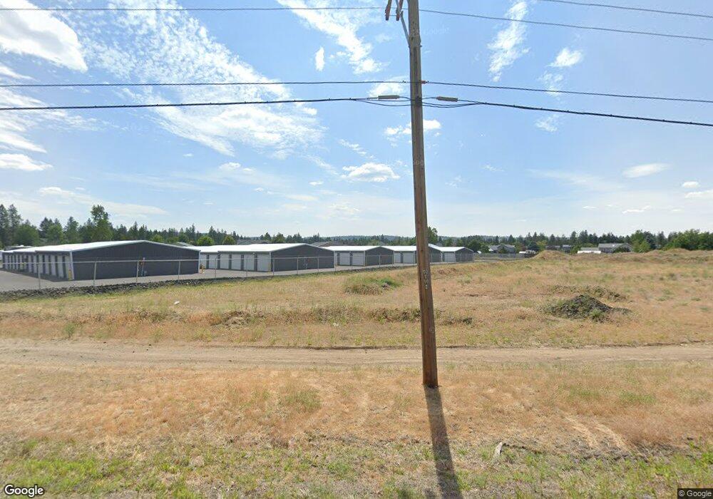
6083 Highway 291 Nine Mile Falls, WA 99026
--
Bed
--
Bath
29,024
Sq Ft
8.2
Acres
About This Home
This home is located at 6083 Highway 291, Nine Mile Falls, WA 99026. 6083 Highway 291 is a home located in Stevens County with nearby schools including Lakeside High School.
Ownership History
Date
Name
Owned For
Owner Type
Purchase Details
Closed on
Aug 13, 2018
Sold by
Inland Northwest Bank
Bought by
Fortress Storage Suncrest Llc
Purchase Details
Closed on
Dec 16, 2016
Sold by
Lsp Ventures Llc
Bought by
Inland Northwest Bank
Purchase Details
Closed on
Apr 9, 2008
Sold by
Blackstone Investments Inc
Bought by
Lsp Ventrues Llc
Purchase Details
Closed on
Jun 26, 2006
Sold by
Murphy James A and Murphy Shirley Joy
Bought by
Blackstone Investments Corp
Purchase Details
Closed on
Jun 1, 2006
Sold by
Murphy James A and Murphy Shirley Joy
Bought by
Black Stone Investment Corp
Create a Home Valuation Report for This Property
The Home Valuation Report is an in-depth analysis detailing your home's value as well as a comparison with similar homes in the area
Home Values in the Area
Average Home Value in this Area
Purchase History
| Date | Buyer | Sale Price | Title Company |
|---|---|---|---|
| Fortress Storage Suncrest Llc | $460,000 | Stevens County Title Co | |
| Inland Northwest Bank | -- | None Available | |
| Lsp Ventrues Llc | $715,236 | Stevens County Title Co | |
| Blackstone Investments Corp | $202,326 | None Available | |
| Black Stone Investment Corp | -- | None Available |
Source: Public Records
Tax History Compared to Growth
Tax History
| Year | Tax Paid | Tax Assessment Tax Assessment Total Assessment is a certain percentage of the fair market value that is determined by local assessors to be the total taxable value of land and additions on the property. | Land | Improvement |
|---|---|---|---|---|
| 2024 | $20,840 | $2,414,698 | $337,500 | $2,077,198 |
| 2023 | $20,840 | $2,361,004 | $295,000 | $2,066,004 |
| 2022 | $15,614 | $2,311,419 | $295,000 | $2,016,419 |
| 2021 | $14,084 | $1,437,335 | $175,000 | $1,262,335 |
| 2020 | $2,058 | $1,437,335 | $175,000 | $1,262,335 |
| 2019 | $1,160 | $175,000 | $175,000 | $0 |
| 2018 | $1,245 | $95,000 | $95,000 | $0 |
| 2017 | $0 | $95,000 | $95,000 | $0 |
| 2016 | $1,138 | $95,000 | $95,000 | $0 |
| 2015 | $1,152 | $90,000 | $90,000 | $0 |
| 2013 | -- | $90,000 | $90,000 | $0 |
Source: Public Records
Map
Nearby Homes
- 60829 Westview Dr
- 60849 Westview Dr
- 16825 N Wylie Dr
- 6195 Khloe Ct
- 13228 W Sunnyvale Dr
- 12719 W Greenfield Rd
- 56xx W (Lot 4W) Jergens Rd Unit For GPS use 5629 Jer
- 5885 Sandy Court Way
- 6263 Brennan Ct
- 5674B Jergens Rd
- 16610 N Suncrest Dr
- 6011 Ruby Way
- XX Syringa
- 6003 Ruby Way
- 5981 Blackstone Way
- 16406 N Tamarac Ln
- 146 Legacy Way
- 148 Legacy Way
- 6478 Sheneen Ct
- 6550 Kate Dr
- 60827 Westview Dr
- 60825 Westview Dr
- 60831 Westview Dr Unit Lot 26
- 60831 Westview Dr
- L3 & L2 Washington 291
- 13336 W Greenfield Rd
- 13332 W Greenfield Rd
- 13316 W Greenfield Rd
- 13340 W Greenfield Rd
- 60833 Westview Dr Unit Lot 5
- 60833 Westview Dr
- 13322 W Greenfield Rd
- 13344 W Greenfield Rd
- 60835 Westview Dr Unit Lot 6
- 60835 Westview Dr Unit Lot 27
- 60835 Westview Dr
- 13312 W Greenfield Rd
- 13324 W Greenfield Rd
- Lot 37 Westview Dr
- 60828 Westview Dr