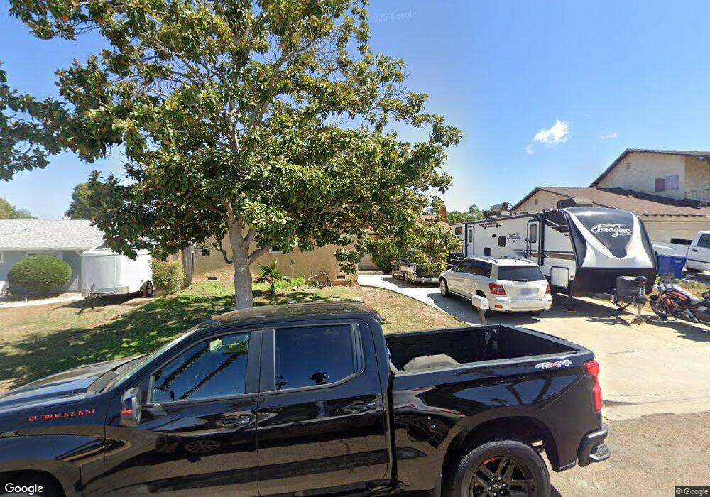
609 Butterwood Ave San Marcos, CA 92069
Estimated Value: $872,000 - $897,000
3
Beds
2
Baths
1,764
Sq Ft
$503/Sq Ft
Est. Value
About This Home
This home is located at 609 Butterwood Ave, San Marcos, CA 92069 and is currently estimated at $887,175, approximately $502 per square foot. 609 Butterwood Ave is a home located in San Diego County with nearby schools including Knob Hill Elementary School, Woodland Park Middle School, and Mission Hills High School.
Ownership History
Date
Name
Owned For
Owner Type
Purchase Details
Closed on
Jul 24, 2000
Sold by
Brekken Jerome L and Brekken Kim A
Bought by
Michel Elias P and Michel Karen M
Current Estimated Value
Home Financials for this Owner
Home Financials are based on the most recent Mortgage that was taken out on this home.
Original Mortgage
$189,800
Outstanding Balance
$67,387
Interest Rate
8.12%
Estimated Equity
$819,788
Create a Home Valuation Report for This Property
The Home Valuation Report is an in-depth analysis detailing your home's value as well as a comparison with similar homes in the area
Home Values in the Area
Average Home Value in this Area
Purchase History
| Date | Buyer | Sale Price | Title Company |
|---|---|---|---|
| Michel Elias P | $211,000 | First American Title |
Source: Public Records
Mortgage History
| Date | Status | Borrower | Loan Amount |
|---|---|---|---|
| Open | Michel Elias P | $189,800 | |
| Closed | Michel Elias P | $21,200 |
Source: Public Records
Tax History Compared to Growth
Tax History
| Year | Tax Paid | Tax Assessment Tax Assessment Total Assessment is a certain percentage of the fair market value that is determined by local assessors to be the total taxable value of land and additions on the property. | Land | Improvement |
|---|---|---|---|---|
| 2025 | $3,398 | $317,918 | $76,686 | $241,232 |
| 2024 | $3,398 | $311,685 | $75,183 | $236,502 |
| 2023 | $4,354 | $305,574 | $73,709 | $231,865 |
| 2022 | $4,307 | $299,583 | $72,264 | $227,319 |
| 2021 | $4,252 | $293,710 | $70,848 | $222,862 |
| 2020 | $4,175 | $290,699 | $70,122 | $220,577 |
| 2019 | $4,138 | $285,000 | $68,748 | $216,252 |
| 2018 | $4,031 | $279,412 | $67,400 | $212,012 |
| 2017 | $3,950 | $273,934 | $66,079 | $207,855 |
| 2016 | $5,820 | $268,564 | $64,784 | $203,780 |
| 2015 | $5,786 | $264,531 | $63,811 | $200,720 |
| 2014 | $5,719 | $259,351 | $62,562 | $196,789 |
Source: Public Records
Map
Nearby Homes
- 639 Butterwood Ave
- 1524 Brook Rd
- 1796 Lindsley Park Dr
- 1477 Glen Avon Dr
- 1609 Desert Glen
- 0 Leaf Ln
- 1233 Titan Ct
- 1925 Rock Springs Rd Unit 1
- 1860 Matin Cir Unit 103
- 1715 Las Palmas Ln
- 1708 Woodbridge Rd
- 254 Cerco Rosado
- 1708 Harold Rd
- 1120 Grape St
- 1145 Privet St
- 1401 W El Norte Pkwy Unit SPC 309
- 1401 W El Norte Pkwy Unit 145
- 1401 W El Norte Pkwy Unit SPC 25
- 1754 Harold Rd
- 1401 El Norte Pkwy Unit 34
- 601 Butterwood Ave
- 617 Butterwood Ave
- 595 Butterwood Ave
- 631 Butterwood Ave
- 610 Butterwood Ave
- 600 Butterwood Ave
- 618 Butterwood Ave
- 587 Butterwood Ave
- 608 Tam o Shanter Dr
- 612 Tam o Shanter Dr
- 600 Tam o Shanter Dr
- 596 Butterwood Ave
- 1532 Shadow Hills Dr
- 598 Tam o Shanter Dr
- 1524 Shadow Hills Dr
- 588 Butterwood Ave
- 592 Tam o Shanter Dr
- 642 Bennett Ave
- 1600 W Augusta Dr
- 607 Pepper Tree Ct