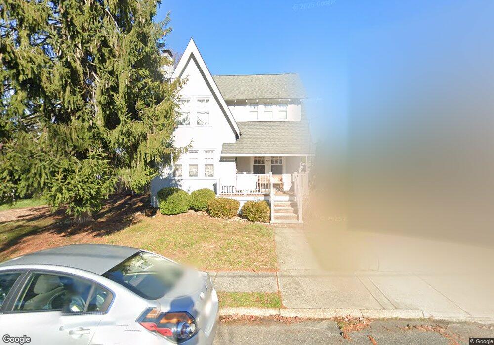
609 Laurel Ave Allenhurst, NJ 07711
Estimated Value: $926,000 - $1,298,000
3
Beds
2
Baths
1,464
Sq Ft
$792/Sq Ft
Est. Value
About This Home
This home is located at 609 Laurel Ave, Allenhurst, NJ 07711 and is currently estimated at $1,159,914, approximately $792 per square foot. 609 Laurel Ave is a home located in Monmouth County with nearby schools including Ocean Township High School, Hope Academy Charter School, and St. Mary of the Assumption School.
Ownership History
Date
Name
Owned For
Owner Type
Purchase Details
Closed on
Sep 21, 2010
Sold by
Tongring Greg and Tongring Christina
Bought by
Travlos Arthur and Travlos Loydra J
Current Estimated Value
Purchase Details
Closed on
Nov 30, 2004
Sold by
Burns Joseph
Bought by
Tongring Greg and Tongring Christina
Home Financials for this Owner
Home Financials are based on the most recent Mortgage that was taken out on this home.
Original Mortgage
$308,000
Interest Rate
5.74%
Create a Home Valuation Report for This Property
The Home Valuation Report is an in-depth analysis detailing your home's value as well as a comparison with similar homes in the area
Home Values in the Area
Average Home Value in this Area
Purchase History
| Date | Buyer | Sale Price | Title Company |
|---|---|---|---|
| Travlos Arthur | $425,000 | None Available | |
| Tongring Greg | $385,000 | -- |
Source: Public Records
Mortgage History
| Date | Status | Borrower | Loan Amount |
|---|---|---|---|
| Previous Owner | Tongring Greg | $308,000 |
Source: Public Records
Tax History Compared to Growth
Tax History
| Year | Tax Paid | Tax Assessment Tax Assessment Total Assessment is a certain percentage of the fair market value that is determined by local assessors to be the total taxable value of land and additions on the property. | Land | Improvement |
|---|---|---|---|---|
| 2025 | $15,858 | $1,152,100 | $900,000 | $252,100 |
| 2024 | $16,283 | $1,091,400 | $845,000 | $246,400 |
| 2023 | $16,283 | $1,045,800 | $806,300 | $239,500 |
| 2022 | $11,569 | $689,400 | $461,300 | $228,100 |
| 2021 | $10,035 | $577,600 | $386,300 | $191,300 |
| 2020 | $10,922 | $538,300 | $351,300 | $187,000 |
| 2019 | $10,035 | $483,400 | $297,500 | $185,900 |
| 2018 | $9,274 | $434,800 | $257,500 | $177,300 |
| 2017 | $9,101 | $425,100 | $257,500 | $167,600 |
| 2016 | $7,975 | $334,800 | $202,500 | $132,300 |
| 2015 | $7,791 | $331,400 | $202,500 | $128,900 |
| 2014 | $8,090 | $349,300 | $222,500 | $126,800 |
Source: Public Records
Map
Nearby Homes
- 607 Laurel Ave
- 613 Laurel Ave
- 605 Laurel Ave
- 610 Corlies Ave
- 606 Corlies Ave
- 615 Laurel Ave
- 608 Laurel Ave
- 612 Laurel Ave
- 603 Laurel Ave
- 604 Laurel Ave
- 616 Corlies Ave
- 614 Laurel Ave
- 600 Corlies Ave
- 492 Staffa St
- 491 Monmouth Rd
- 615 Beechwood Ave
- 486 Staffa St
- 617 Beechwood Ave
- 609 Corlies Ave
- 607 Corlies Ave