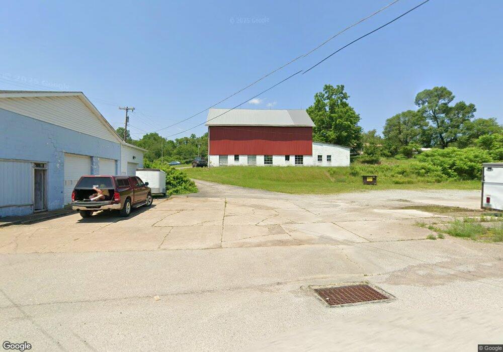
609 Route 217 Latrobe, PA 15650
Estimated Value: $153,000 - $231,000
4
Beds
2
Baths
2,472
Sq Ft
$81/Sq Ft
Est. Value
About This Home
This home is located at 609 Route 217, Latrobe, PA 15650 and is currently estimated at $199,651, approximately $80 per square foot. 609 Route 217 is a home located in Westmoreland County with nearby schools including Grandview Elementary School, Derry Area Middle School, and Derry Area Senior High School.
Ownership History
Date
Name
Owned For
Owner Type
Purchase Details
Closed on
Aug 27, 2018
Sold by
Barchesky Richard A
Bought by
Barchesky Richard A
Current Estimated Value
Purchase Details
Closed on
Jun 9, 2017
Sold by
Barchesky Richard A
Bought by
Barchesky Richard A
Purchase Details
Closed on
Dec 3, 2015
Sold by
Barchesky Helen G
Bought by
Barcheksy Richard A and Barchesky Edward T
Purchase Details
Closed on
Apr 10, 2013
Sold by
Barchesky Helen G
Bought by
Barchesky Edward T and Barchesky Diane M
Create a Home Valuation Report for This Property
The Home Valuation Report is an in-depth analysis detailing your home's value as well as a comparison with similar homes in the area
Home Values in the Area
Average Home Value in this Area
Purchase History
| Date | Buyer | Sale Price | Title Company |
|---|---|---|---|
| Barchesky Richard A | -- | None Available | |
| Barchesky Richard A | -- | None Available | |
| Barcheksy Richard A | -- | None Available | |
| Barchesky Edward T | -- | None Available | |
| Barchesky Richard A | -- | None Available |
Source: Public Records
Tax History Compared to Growth
Tax History
| Year | Tax Paid | Tax Assessment Tax Assessment Total Assessment is a certain percentage of the fair market value that is determined by local assessors to be the total taxable value of land and additions on the property. | Land | Improvement |
|---|---|---|---|---|
| 2025 | $1,339 | $10,770 | $2,610 | $8,160 |
| 2024 | $1,339 | $10,770 | $2,610 | $8,160 |
| 2023 | $1,263 | $10,770 | $2,610 | $8,160 |
| 2022 | $1,252 | $10,770 | $2,610 | $8,160 |
| 2021 | $1,065 | $9,160 | $2,610 | $6,550 |
| 2020 | $1,047 | $9,160 | $2,610 | $6,550 |
| 2019 | $1,024 | $9,160 | $2,610 | $6,550 |
| 2018 | $978 | $12,210 | $2,850 | $9,360 |
| 2017 | $1,270 | $12,210 | $2,850 | $9,360 |
| 2016 | $1,756 | $19,380 | $2,970 | $16,410 |
| 2015 | $1,928 | $19,380 | $2,970 | $16,410 |
| 2014 | $1,360 | $19,380 | $2,970 | $16,410 |
Source: Public Records
Map
Nearby Homes
- 147 N Valley St
- 510 Pennsylvania 217
- 913 W 1st Ave
- 213 Greenfield Rd
- 104 Clifton St
- 520 W 2nd Ave
- 604 W 4th Ave
- 417 Traction Ave
- 504 W 2nd Ave
- 400 Ridge Ave
- 423 W 1st Ave
- 518 W 5th Ave
- 793 Victoria Way
- 211 10th St
- 707 Victoria Way
- 765 Victoria Way
- 715 Victoria Way
- 1224 High St
- 729 Victoria Way
- 217 W 6th Ave
- 615 State Route 217
- 611 State Route 217
- 608 Pennsylvania 217
- 583 State Route 217
- 581 State Route 217
- 623 State Route 217
- 580 State Route 217
- 577 Pennsylvania 217
- 577 State Route 217
- 575 State Route 217
- 576 State Route 217
- 127 Simms Ln
- 631 State Route 217
- 573 State Route 217
- 572 State Route 217
- 569 Pennsylvania 217
- 569 State Route 217
- 570 State Route 217
- 165 Willow St
- 636 State Route 217