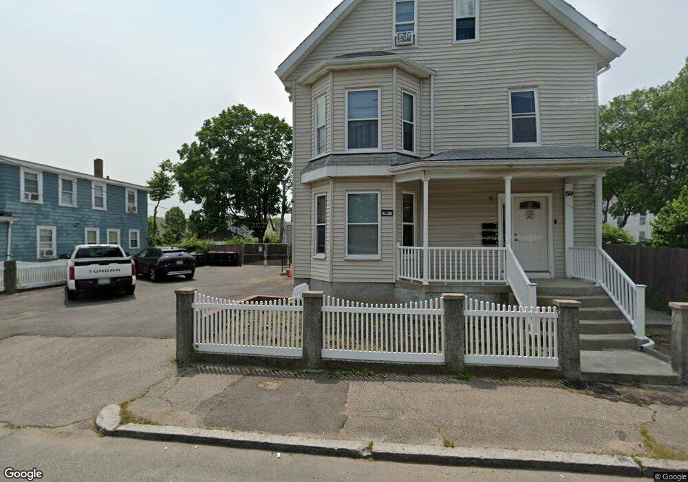
61 Denton St Brockton, MA 02301
Clifton Heights NeighborhoodEstimated Value: $446,000 - $524,000
3
Beds
1
Bath
1,662
Sq Ft
$298/Sq Ft
Est. Value
About This Home
This home is located at 61 Denton St, Brockton, MA 02301 and is currently estimated at $495,904, approximately $298 per square foot. 61 Denton St is a home located in Plymouth County with nearby schools including John F. Kennedy Elementary School, Davis K-8 School, and South Middle School.
Ownership History
Date
Name
Owned For
Owner Type
Purchase Details
Closed on
Mar 4, 2002
Sold by
Cooper Shaun A
Bought by
Strickland Ellis L
Current Estimated Value
Purchase Details
Closed on
Jun 12, 1998
Sold by
Brigandi Michael
Bought by
527 T
Create a Home Valuation Report for This Property
The Home Valuation Report is an in-depth analysis detailing your home's value as well as a comparison with similar homes in the area
Home Values in the Area
Average Home Value in this Area
Purchase History
| Date | Buyer | Sale Price | Title Company |
|---|---|---|---|
| Strickland Ellis L | $157,500 | -- | |
| 527 T | $24,000 | -- |
Source: Public Records
Mortgage History
| Date | Status | Borrower | Loan Amount |
|---|---|---|---|
| Open | 527 T | $222,000 | |
| Closed | 527 T | $216,000 | |
| Closed | 527 T | $188,250 | |
| Closed | 527 T | $156,000 |
Source: Public Records
Tax History Compared to Growth
Tax History
| Year | Tax Paid | Tax Assessment Tax Assessment Total Assessment is a certain percentage of the fair market value that is determined by local assessors to be the total taxable value of land and additions on the property. | Land | Improvement |
|---|---|---|---|---|
| 2025 | $4,997 | $412,600 | $139,000 | $273,600 |
| 2024 | $4,687 | $389,900 | $139,000 | $250,900 |
| 2023 | $4,376 | $337,100 | $103,400 | $233,700 |
| 2022 | $3,924 | $280,900 | $94,000 | $186,900 |
| 2021 | $3,938 | $271,600 | $77,900 | $193,700 |
| 2020 | $3,568 | $235,500 | $73,100 | $162,400 |
| 2019 | $3,484 | $224,200 | $71,200 | $153,000 |
| 2018 | $3,278 | $204,100 | $71,200 | $132,900 |
| 2017 | $3,086 | $191,700 | $71,200 | $120,500 |
| 2016 | $2,795 | $161,000 | $69,000 | $92,000 |
| 2015 | $2,525 | $139,100 | $69,000 | $70,100 |
| 2014 | $2,422 | $133,600 | $69,000 | $64,600 |
Source: Public Records
Map
Nearby Homes
- 59 Denton St
- 67 Denton St
- 162 Laureston St
- 162 Laureston St Unit 1
- 53 Denton St
- 162 Laurelston
- 164 Laureston St
- 160 Laureston St
- 71 Denton St
- 47 Denton St
- 47 Denton St Unit 1
- 154 Laureston St
- 75 Denton St
- 26 Nilsson St
- 68 Denton St
- 66 Denton St
- 170 Laureston St
- 170 Laureston St Unit 2
- 72 Denton St
- 150 Laureston St