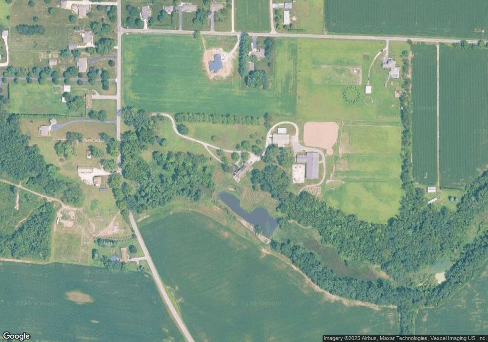
61 Sager Rd Valparaiso, IN 46383
Porter County NeighborhoodEstimated Value: $629,000 - $981,982
4
Beds
5
Baths
4,614
Sq Ft
$174/Sq Ft
Est. Value
About This Home
This home is located at 61 Sager Rd, Valparaiso, IN 46383 and is currently estimated at $801,327, approximately $173 per square foot. 61 Sager Rd is a home located in Porter County with nearby schools including Morgan Township Elementary School and Morgan Township Middle/High School.
Ownership History
Date
Name
Owned For
Owner Type
Purchase Details
Closed on
Sep 17, 2021
Sold by
Ailes Lonnie R
Bought by
Meints Benjamin R and Meints Betsy A
Current Estimated Value
Home Financials for this Owner
Home Financials are based on the most recent Mortgage that was taken out on this home.
Original Mortgage
$300,000
Outstanding Balance
$272,629
Interest Rate
2.86%
Estimated Equity
$528,698
Create a Home Valuation Report for This Property
The Home Valuation Report is an in-depth analysis detailing your home's value as well as a comparison with similar homes in the area
Home Values in the Area
Average Home Value in this Area
Purchase History
| Date | Buyer | Sale Price | Title Company |
|---|---|---|---|
| Meints Benjamin R | $1,025,000 | Acuity Title |
Source: Public Records
Mortgage History
| Date | Status | Borrower | Loan Amount |
|---|---|---|---|
| Open | Meints Benjamin R | $300,000 |
Source: Public Records
Tax History Compared to Growth
Tax History
| Year | Tax Paid | Tax Assessment Tax Assessment Total Assessment is a certain percentage of the fair market value that is determined by local assessors to be the total taxable value of land and additions on the property. | Land | Improvement |
|---|---|---|---|---|
| 2024 | $8,288 | $977,100 | $124,400 | $852,700 |
| 2023 | $7,652 | $886,000 | $108,000 | $778,000 |
| 2022 | $7,452 | $812,500 | $102,600 | $709,900 |
| 2021 | $8,919 | $862,400 | $100,200 | $762,200 |
| 2020 | $8,130 | $784,700 | $89,600 | $695,100 |
| 2019 | $7,890 | $738,400 | $94,400 | $644,000 |
| 2018 | $7,512 | $713,300 | $95,300 | $618,000 |
| 2017 | $7,476 | $709,800 | $99,400 | $610,400 |
| 2016 | $6,884 | $676,900 | $101,000 | $575,900 |
| 2014 | $7,446 | $654,300 | $100,100 | $554,200 |
| 2013 | -- | $609,900 | $96,200 | $513,700 |
Source: Public Records
Map
Nearby Homes
- 3359 Blue Jay Dr
- 48 E Division Rd
- 3353 Field Hawk Dr
- 3251 Mockingbird Ln
- 197 Appaloosa Ln
- 501 Eagle Ct
- 0 Smoke Rd
- 2054 Lawndale Dr
- 239 Bayberry Ct
- 1954 Lawndale Dr
- 3152 Heavilin Rd
- 323 E 124 S
- 2655 Vivante Dr
- 232 E 250 S
- 1556 Smoke Rd
- 279 S State Road 49
- 857 S Cedar Ln
- 1465 Clark Rd
- 1068 Linwood Ave
- 1153 Horse Prairie Ave