6100 Detrick Rd Mount Airy, MD 21771
Estimated Value: $1,116,000 - $1,462,371
--
Bed
3
Baths
4,522
Sq Ft
$290/Sq Ft
Est. Value
About This Home
This home is located at 6100 Detrick Rd, Mount Airy, MD 21771 and is currently estimated at $1,312,457, approximately $290 per square foot. 6100 Detrick Rd is a home located in Frederick County with nearby schools including New Market Elementary School, New Market Middle School, and Linganore High School.
Ownership History
Date
Name
Owned For
Owner Type
Purchase Details
Closed on
Jun 8, 2020
Sold by
Tate Stephen Edward
Bought by
Willow Hill Farm Llc
Current Estimated Value
Purchase Details
Closed on
Mar 26, 2020
Sold by
Tate Stephen Edward
Bought by
Tate Stephen Edward and The Stephen Edward Tate Revocable Trust
Purchase Details
Closed on
May 7, 2015
Sold by
Tate Stephen Edward
Bought by
Tate Jacquelyn Clark
Purchase Details
Closed on
Dec 22, 2014
Sold by
Tate Stephen Edward
Bought by
Tate Stephen Edward and Tate Jacquelyn Clark
Purchase Details
Closed on
Jan 24, 2014
Sold by
Tate Stephen Edward and Tate Jacquelyn Clark
Bought by
Tate Stephen Edward and The Stephen Edward Tate Revocable Trust
Create a Home Valuation Report for This Property
The Home Valuation Report is an in-depth analysis detailing your home's value as well as a comparison with similar homes in the area
Home Values in the Area
Average Home Value in this Area
Purchase History
| Date | Buyer | Sale Price | Title Company |
|---|---|---|---|
| Willow Hill Farm Llc | -- | None Available | |
| Tate Stephen Edward | -- | None Available | |
| Tate Stephen Edward | -- | None Available | |
| Tate Jacquelyn Clark | -- | None Available | |
| Tate Stephen Edward | -- | None Available | |
| Tate Stephen Edward | -- | None Available | |
| Tate Stephen Edward | -- | None Available |
Source: Public Records
Tax History Compared to Growth
Tax History
| Year | Tax Paid | Tax Assessment Tax Assessment Total Assessment is a certain percentage of the fair market value that is determined by local assessors to be the total taxable value of land and additions on the property. | Land | Improvement |
|---|---|---|---|---|
| 2025 | $7,589 | $757,700 | -- | -- |
| 2024 | $7,589 | $718,700 | $164,400 | $554,300 |
| 2023 | $6,955 | $666,600 | $0 | $0 |
| 2022 | $6,590 | $614,500 | $0 | $0 |
| 2021 | $6,138 | $562,400 | $124,400 | $438,000 |
| 2020 | $5,994 | $530,367 | $0 | $0 |
| 2019 | $10,596 | $913,933 | $0 | $0 |
| 2018 | $10,336 | $881,900 | $214,900 | $667,000 |
| 2017 | $9,936 | $881,900 | $0 | $0 |
| 2016 | $5,762 | $856,833 | $0 | $0 |
| 2015 | $5,762 | $844,300 | $0 | $0 |
| 2014 | $5,762 | $844,300 | $0 | $0 |
Source: Public Records
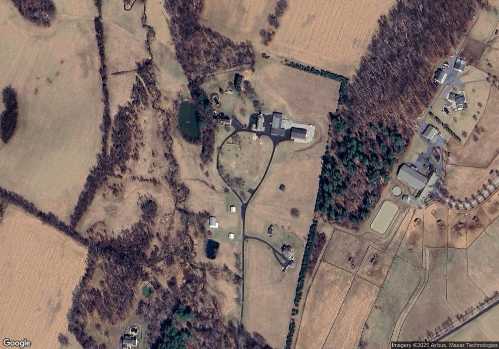
Map
Nearby Homes
- 12775 Barnett Dr
- 11907 Lime Plant Rd
- 13330 Old Annapolis Rd
- 5613 Bobolink Trail
- 6905 New London Rd
- 7192 Rosalees Walk
- 7192 Rosalees Way
- 12396 Lee Hill Dr
- 4997 Tall Oaks Dr
- 308 E Wainscot Dr
- 5858 Woodville Rd
- 6903 Wimbledon Ct
- 11128 Worchester Dr
- 25 W Main St
- 5633 Tessie Ct
- 6460 General Dr Unit ASHCROFT
- 6468-B General Dr Unit WALBERT
- 6468-F General Dr Unit GREENRIDGE
- 6452 General Dr Unit WALBERT
- 6468-C General Dr Unit MILLBROOKE
- 00 Detrick Rd
- 6119 Detrick Rd
- 6042 Detrick Rd
- 6120 Detrick Rd
- 6050 Detrick Rd
- 6250 Detrick Rd
- 6036 Detrick Rd
- 6149 Detrick Rd
- 6149 Detrick Rd
- 6181 Detrick Rd
- 6169 Detrick Rd
- 12602 Knoll Rd
- 6179 Detrick Rd
- 6030 Detrick Rd
- 6203 Detrick Rd
- 6187 Detrick Rd
- 12404 Hill Ct
- 12624 Knoll Rd
- 12401 Hill Ct
- 12640 Knoll Rd