6100 Southdale Rd Lincoln, NE 68516
Estimated Value: $542,000 - $630,000
3
Beds
4
Baths
2,480
Sq Ft
$239/Sq Ft
Est. Value
About This Home
This home is located at 6100 Southdale Rd, Lincoln, NE 68516 and is currently estimated at $593,375, approximately $239 per square foot. 6100 Southdale Rd is a home located in Lancaster County with nearby schools including Norris Elementary School, Norris Middle School, and Norris High School.
Ownership History
Date
Name
Owned For
Owner Type
Purchase Details
Closed on
Mar 4, 1999
Sold by
Bradley Robert J
Bought by
Bouc James E and Bouc Judith A
Current Estimated Value
Home Financials for this Owner
Home Financials are based on the most recent Mortgage that was taken out on this home.
Original Mortgage
$198,000
Interest Rate
6.8%
Create a Home Valuation Report for This Property
The Home Valuation Report is an in-depth analysis detailing your home's value as well as a comparison with similar homes in the area
Home Values in the Area
Average Home Value in this Area
Purchase History
| Date | Buyer | Sale Price | Title Company |
|---|---|---|---|
| Bouc James E | $199,000 | -- |
Source: Public Records
Mortgage History
| Date | Status | Borrower | Loan Amount |
|---|---|---|---|
| Closed | Bouc James E | $198,000 |
Source: Public Records
Tax History Compared to Growth
Tax History
| Year | Tax Paid | Tax Assessment Tax Assessment Total Assessment is a certain percentage of the fair market value that is determined by local assessors to be the total taxable value of land and additions on the property. | Land | Improvement |
|---|---|---|---|---|
| 2025 | $4,751 | $601,200 | $170,000 | $431,200 |
| 2024 | $4,751 | $537,800 | $170,000 | $367,800 |
| 2023 | $6,754 | $537,800 | $170,000 | $367,800 |
| 2022 | $6,424 | $390,600 | $99,000 | $291,600 |
| 2021 | $6,531 | $390,600 | $99,000 | $291,600 |
| 2020 | $5,946 | $378,800 | $99,000 | $279,800 |
| 2019 | $5,941 | $378,800 | $99,000 | $279,800 |
| 2018 | $5,452 | $345,900 | $99,000 | $246,900 |
| 2017 | $4,931 | $313,000 | $99,000 | $214,000 |
| 2016 | $4,580 | $293,000 | $90,000 | $203,000 |
| 2015 | $4,619 | $293,000 | $90,000 | $203,000 |
| 2014 | $4,219 | $262,000 | $81,000 | $181,000 |
| 2013 | -- | $262,000 | $81,000 | $181,000 |
Source: Public Records
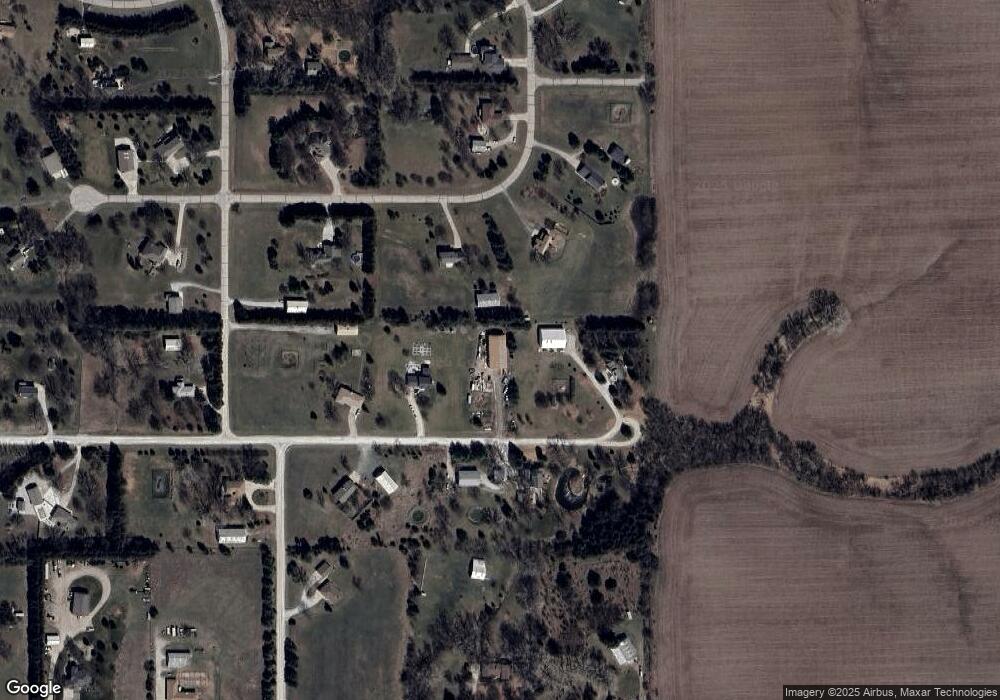
Map
Nearby Homes
- 5751 Saltillo Rd
- 9415 S 86th St
- 9405 S 86th St
- 6000 Rokeby Rd
- 9347 S 86th St
- 9401 S 87th St
- 9324 S 86th St
- 8620 Dragonfly Ln
- 9317 S 87th St
- 9350 S 86th St
- 9340 S 86th St
- 9309 S 87th St
- 9355 S 86th St
- 10231 S 73rd St
- 10621 S 76th St
- 10641 S 76th St
- 6701 Wildflower Ct
- 10611 S 76th St
- 10631 S 76th St
- 7320 Augustine Ave
- 6000 Southdale Rd
- 6209 Southdale Rd
- 6101 Doe Dr
- 6001 Southdale Rd
- 6001 Doe Dr
- 6269 Doe Dr
- 6200 Southdale Rd
- 6301 Doe Dr
- 11201 S 60th St
- 11400 S 60th St
- 11175 S 60th St
- 6000 Doe Dr
- 10901 S 63rd St
- 10930 S 63rd St
- 5901 Doe Cir
- 6100 Saltillo Rd
- 10801 S 63rd St
- 6200 Saltillo Rd
- 10901 S 60th St
- 10800 S 60th St