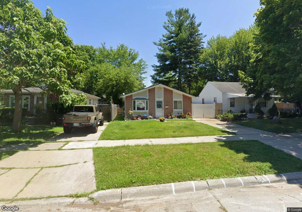
6101 Harold St Taylor, MI 48180
Estimated Value: $148,000 - $156,000
3
Beds
1
Bath
1,001
Sq Ft
$153/Sq Ft
Est. Value
About This Home
This home is located at 6101 Harold St, Taylor, MI 48180 and is currently estimated at $153,307, approximately $153 per square foot. 6101 Harold St is a home located in Wayne County with nearby schools including Clarence Randall Elementary School, Hoover Middle School, and Taylor High School.
Ownership History
Date
Name
Owned For
Owner Type
Purchase Details
Closed on
Jul 1, 2003
Sold by
Duguid Evelyn L and Wallace Evelyn L
Bought by
Duguid Scott
Current Estimated Value
Home Financials for this Owner
Home Financials are based on the most recent Mortgage that was taken out on this home.
Original Mortgage
$87,000
Interest Rate
5.9%
Mortgage Type
Balloon
Purchase Details
Closed on
May 9, 2003
Sold by
Duguid Evelyn L and Wallace Evelyn L
Bought by
Duguid Scott
Home Financials for this Owner
Home Financials are based on the most recent Mortgage that was taken out on this home.
Original Mortgage
$87,000
Interest Rate
5.9%
Mortgage Type
Balloon
Create a Home Valuation Report for This Property
The Home Valuation Report is an in-depth analysis detailing your home's value as well as a comparison with similar homes in the area
Home Values in the Area
Average Home Value in this Area
Purchase History
| Date | Buyer | Sale Price | Title Company |
|---|---|---|---|
| Duguid Scott | -- | -- | |
| Duguid Scott | -- | -- |
Source: Public Records
Mortgage History
| Date | Status | Borrower | Loan Amount |
|---|---|---|---|
| Closed | Duguid Scott | $87,000 |
Source: Public Records
Tax History Compared to Growth
Tax History
| Year | Tax Paid | Tax Assessment Tax Assessment Total Assessment is a certain percentage of the fair market value that is determined by local assessors to be the total taxable value of land and additions on the property. | Land | Improvement |
|---|---|---|---|---|
| 2025 | $1,345 | $70,200 | $0 | $0 |
| 2024 | $1,345 | $65,200 | $0 | $0 |
| 2023 | $1,615 | $56,400 | $0 | $0 |
| 2022 | $1,283 | $53,700 | $0 | $0 |
| 2021 | $1,419 | $46,000 | $0 | $0 |
| 2020 | $1,405 | $39,800 | $0 | $0 |
| 2019 | $140,085 | $35,500 | $0 | $0 |
| 2018 | $1,102 | $27,200 | $0 | $0 |
| 2017 | $602 | $27,000 | $0 | $0 |
| 2016 | $1,384 | $26,300 | $0 | $0 |
| 2015 | $2,490 | $24,900 | $0 | $0 |
| 2013 | $2,640 | $27,500 | $0 | $0 |
| 2012 | $1,194 | $26,800 | $7,600 | $19,200 |
Source: Public Records
Map
Nearby Homes
- 6075 Duncan St
- 6179 Fellrath St
- 6319 Duncan St
- 6338 Marvin St
- 5961 Marvin St
- 25908 Beverly Rd
- 6363 Mcguire St
- 6107 John Daly St
- 26215 Beverly Rd
- 5993 John Daly St
- 5961 Beech Daly Rd
- 6349 Beech Daly Rd
- 6370 Hampden St
- 5970 John Daly St
- 5845 Beech Daly Rd
- 5904 Janet St
- 5842 Janet St
- 25965 Currier St
- 6368 Hazel St
- 26106 Powers Ave
- 6089 Harold St
- 6111 Harold St
- 6077 Harold St
- 6121 Harold St
- 6121 Harold St
- 6065 Harold St
- 6100 Fellrath St
- 6090 Fellrath St
- 6120 Fellrath St
- 6078 Fellrath St
- 6139 Harold St
- 6053 Harold St
- 6130 Fellrath St
- 6066 Fellrath St
- 6100 Harold St
- 6108 Harold St
- 6084 Harold St
- 6116 Harold St
- 6041 Harold St
- 6072 Harold St