611 Foxboro Dr Norwalk, CT 06851
Cranbury NeighborhoodEstimated Value: $619,000 - $793,000
2
Beds
3
Baths
1,647
Sq Ft
$412/Sq Ft
Est. Value
About This Home
This home is located at 611 Foxboro Dr, Norwalk, CT 06851 and is currently estimated at $678,497, approximately $411 per square foot. 611 Foxboro Dr is a home located in Fairfield County with nearby schools including Cranbury Elementary School, West Rocks Middle School, and Norwalk High School.
Ownership History
Date
Name
Owned For
Owner Type
Purchase Details
Closed on
Aug 26, 1996
Sold by
Hicks Robert and Hicks Linda S
Bought by
Serby Marlene
Current Estimated Value
Purchase Details
Closed on
Nov 14, 1990
Sold by
Baker Firestone Ltd
Bought by
Hicks Robert
Create a Home Valuation Report for This Property
The Home Valuation Report is an in-depth analysis detailing your home's value as well as a comparison with similar homes in the area
Home Values in the Area
Average Home Value in this Area
Purchase History
| Date | Buyer | Sale Price | Title Company |
|---|---|---|---|
| Serby Marlene | $255,000 | -- | |
| Serby Marlene | $255,000 | -- | |
| Hicks Robert | $241,670 | -- |
Source: Public Records
Mortgage History
| Date | Status | Borrower | Loan Amount |
|---|---|---|---|
| Open | Hicks Robert | $100,000 | |
| Closed | Hicks Robert | $125,000 | |
| Closed | Hicks Robert | $133,000 |
Source: Public Records
Tax History Compared to Growth
Tax History
| Year | Tax Paid | Tax Assessment Tax Assessment Total Assessment is a certain percentage of the fair market value that is determined by local assessors to be the total taxable value of land and additions on the property. | Land | Improvement |
|---|---|---|---|---|
| 2025 | $9,526 | $401,280 | $0 | $401,280 |
| 2024 | $9,380 | $401,280 | $0 | $401,280 |
| 2023 | $8,207 | $328,740 | $0 | $328,740 |
| 2022 | $8,078 | $328,740 | $0 | $328,740 |
| 2021 | $6,874 | $328,740 | $0 | $328,740 |
| 2020 | $7,760 | $328,740 | $0 | $328,740 |
| 2019 | $7,662 | $328,740 | $0 | $328,740 |
| 2018 | $7,924 | $305,610 | $0 | $305,610 |
| 2017 | $7,648 | $305,610 | $0 | $305,610 |
| 2016 | $7,775 | $305,610 | $0 | $305,610 |
| 2015 | $6,983 | $305,610 | $0 | $305,610 |
| 2014 | $7,652 | $305,610 | $0 | $305,610 |
Source: Public Records
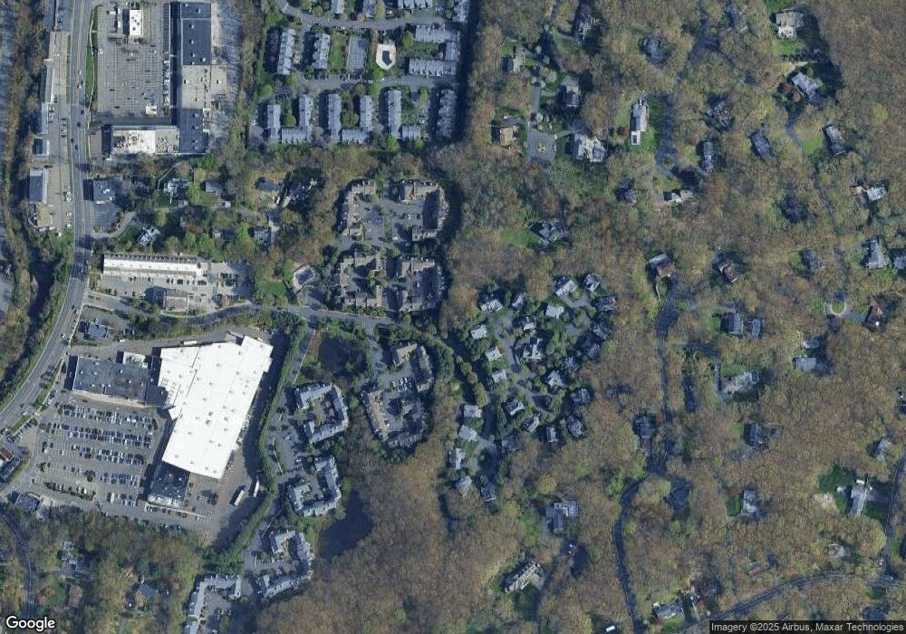
Map
Nearby Homes
- 510 Foxboro Dr
- 123 Old Belden Hill Rd Unit 40
- 515 Belden Hill Rd
- 28 Village Ct
- 442 Main Ave Unit A5
- 29 Grumman Ave
- 105 Danbury Rd
- 36 Donohue Dr
- 35 Mohawk Dr
- 180 E Rocks Rd
- 41 Mohawk Dr
- 8 Caddy Rd
- 6 Tulip Tree Ln
- 27 Stonecrop Rd
- 32 Thistle Rd
- 101 Chestnut Hill Rd
- 8 Stonecrop Rd
- 332 Belden Hill Rd
- 2 Wildgoose Ln
- 10 Wilton Hunt Rd
- 620 Foxboro Dr
- 619 Foxboro Dr
- 618 Foxboro Dr
- 617 Foxboro Dr
- 616 Foxboro Dr
- 615 Foxboro Dr
- 614 Foxboro Dr
- 613 Foxboro Dr
- 612 Foxboro Dr
- 610 Foxboro Dr
- 609 Foxboro Dr
- 608 Foxboro Dr
- 607 Foxboro Dr
- 606 Foxboro Dr
- 605 Foxboro Dr
- 604 Foxboro Dr
- 603 Foxboro Dr
- 602 Foxboro Dr
- 601 Foxboro Dr
- 609 Foxboro Dr Unit 609