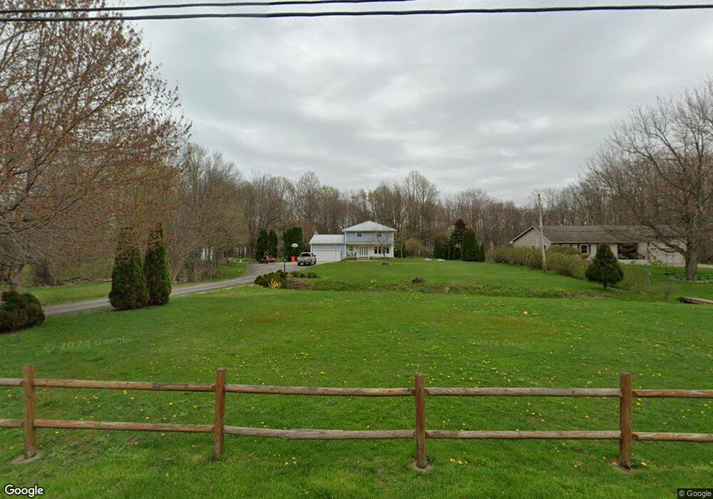
611 Parkside Dr Erie, PA 16511
Northwest Harborcreek NeighborhoodEstimated Value: $321,000 - $380,673
4
Beds
3
Baths
2,260
Sq Ft
$159/Sq Ft
Est. Value
About This Home
This home is located at 611 Parkside Dr, Erie, PA 16511 and is currently estimated at $359,918, approximately $159 per square foot. 611 Parkside Dr is a home located in Erie County with nearby schools including Harbor Creek Senior High School, St. James Elementary School, and Harbor Creek Christian School.
Ownership History
Date
Name
Owned For
Owner Type
Purchase Details
Closed on
Dec 2, 2020
Sold by
Polalas Evelyn D and Polalas Michael Robert
Bought by
Epperson Jason B and Epperson Elizabeth
Current Estimated Value
Home Financials for this Owner
Home Financials are based on the most recent Mortgage that was taken out on this home.
Original Mortgage
$202,434
Outstanding Balance
$180,548
Interest Rate
2.8%
Mortgage Type
VA
Estimated Equity
$179,370
Create a Home Valuation Report for This Property
The Home Valuation Report is an in-depth analysis detailing your home's value as well as a comparison with similar homes in the area
Home Values in the Area
Average Home Value in this Area
Purchase History
| Date | Buyer | Sale Price | Title Company |
|---|---|---|---|
| Epperson Jason B | $195,400 | None Available |
Source: Public Records
Mortgage History
| Date | Status | Borrower | Loan Amount |
|---|---|---|---|
| Open | Epperson Jason B | $202,434 |
Source: Public Records
Tax History Compared to Growth
Tax History
| Year | Tax Paid | Tax Assessment Tax Assessment Total Assessment is a certain percentage of the fair market value that is determined by local assessors to be the total taxable value of land and additions on the property. | Land | Improvement |
|---|---|---|---|---|
| 2025 | $4,819 | $174,000 | $41,300 | $132,700 |
| 2024 | $4,697 | $174,000 | $41,300 | $132,700 |
| 2023 | $4,461 | $174,000 | $41,300 | $132,700 |
| 2022 | $4,341 | $174,000 | $41,300 | $132,700 |
| 2021 | $4,254 | $174,000 | $41,300 | $132,700 |
| 2020 | $4,111 | $174,000 | $41,300 | $132,700 |
| 2019 | $4,027 | $174,000 | $41,300 | $132,700 |
| 2018 | $3,888 | $174,000 | $41,300 | $132,700 |
| 2017 | $3,850 | $174,000 | $41,300 | $132,700 |
| 2016 | $4,454 | $174,000 | $41,300 | $132,700 |
| 2015 | $4,411 | $174,000 | $41,300 | $132,700 |
| 2014 | $1,884 | $174,000 | $41,300 | $132,700 |
Source: Public Records
Map
Nearby Homes
- 521 Parkside Dr
- 627 29 Walbridge Rd
- 383 Walbridge Rd
- 4648 Elsie St
- 4653 Elsie St
- 342 Bonnie Brae
- 4655 Elsie St Unit 1
- 0 Crosley Rd
- 5102 E Lake Rd
- 0 Boyer Rd
- 414 Pelham Rd
- 100 Fox Hollow Ln
- 4704 E Lake Rd
- 0 Bretz Dr Unit 178683
- 4422 Emmett Dr
- 1679 E Lake Rd
- 4346 Morse St
- 4335 E Lake Rd
- 4655 Buffalo Rd
- 508 Smithson Ave
- 623 Parkside Dr
- 831 Parkside Dr
- 0 Parkside Dr
- 541 Parkside Dr
- 531 Parkside Dr
- 620 Parkside Dr
- 610 Parkside Dr
- 616 Parkside Dr
- 606 Parkside Dr
- 530 Parkside Dr
- 540 Parkside Dr
- 606 Bonnie Brae
- 628 Bonnie Brae
- 520 Parkside Dr
- 656 Bonnie Brae
- 590 Bonnie Brae
- 684 Bonnie Brae
- 572 Bonnie Brae
- 513 Parkside Dr
- 712 Bonnie Brae