611 Sanford St East Liverpool, OH 43920
Estimated Value: $129,000 - $319,000
3
Beds
2
Baths
1,568
Sq Ft
$157/Sq Ft
Est. Value
About This Home
This home is located at 611 Sanford St, East Liverpool, OH 43920 and is currently estimated at $246,917, approximately $157 per square foot. 611 Sanford St is a home located in Columbiana County with nearby schools including Westgate Middle School, LaCroft Elementary School, and East Liverpool High School.
Ownership History
Date
Name
Owned For
Owner Type
Purchase Details
Closed on
Mar 27, 2020
Sold by
Fleming Dwayne Lee
Bought by
Andrews Gregory C
Current Estimated Value
Home Financials for this Owner
Home Financials are based on the most recent Mortgage that was taken out on this home.
Original Mortgage
$216,600
Outstanding Balance
$191,881
Interest Rate
3.4%
Mortgage Type
New Conventional
Estimated Equity
$55,036
Purchase Details
Closed on
Apr 23, 1993
Bought by
Fleming Dwayne L and Fleming Or
Create a Home Valuation Report for This Property
The Home Valuation Report is an in-depth analysis detailing your home's value as well as a comparison with similar homes in the area
Home Values in the Area
Average Home Value in this Area
Purchase History
| Date | Buyer | Sale Price | Title Company |
|---|---|---|---|
| Andrews Gregory C | $228,000 | None Available | |
| Fleming Dwayne L | $35,000 | -- |
Source: Public Records
Mortgage History
| Date | Status | Borrower | Loan Amount |
|---|---|---|---|
| Open | Andrews Gregory C | $216,600 |
Source: Public Records
Tax History Compared to Growth
Tax History
| Year | Tax Paid | Tax Assessment Tax Assessment Total Assessment is a certain percentage of the fair market value that is determined by local assessors to be the total taxable value of land and additions on the property. | Land | Improvement |
|---|---|---|---|---|
| 2024 | $3,068 | $74,100 | $4,970 | $69,130 |
| 2023 | $3,069 | $74,100 | $4,970 | $69,130 |
| 2022 | $3,069 | $74,100 | $4,970 | $69,130 |
| 2021 | $2,729 | $60,410 | $5,040 | $55,370 |
| 2020 | $2,733 | $60,410 | $5,040 | $55,370 |
| 2019 | $2,732 | $60,410 | $5,040 | $55,370 |
| 2018 | $2,647 | $54,920 | $4,590 | $50,330 |
| 2017 | $2,786 | $54,920 | $4,590 | $50,330 |
| 2016 | $2,779 | $52,290 | $4,620 | $47,670 |
| 2015 | $2,579 | $52,290 | $4,620 | $47,670 |
| 2014 | $2,549 | $52,290 | $4,620 | $47,670 |
Source: Public Records
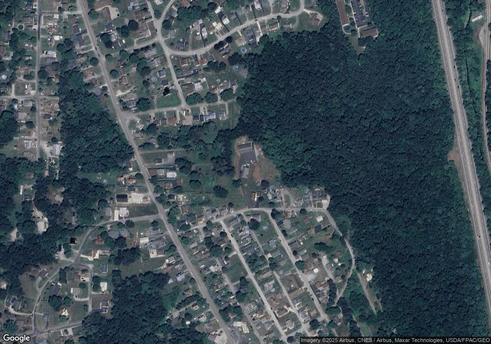
Map
Nearby Homes
- 1874 Idaho Ave
- 118 S Shadylane Dr
- 504 Williams Ave
- 106 N Surry Rd
- 564 Williams Ave
- 1183 Lisbon St
- 1332 Sunnyside St
- 2249 Lisbon St
- 1250 Northside St
- 468 6th Ave
- 0 Kingsridge Rd
- 1209 Northside St
- 539 7th Ave
- 932 Logan St
- 2512 Boring Ln
- 874 Logan St
- 0 Lisbon St
- 1234 Sunnyside St
- 2476 Lisbon St
- 139 Huntington Ct
- 154 S Shadylane Dr
- 1952 Lisbon St
- 146 S Shadylane Dr
- 144 S Shadylane Dr
- 138 S Shadylane Dr
- 607 Sanford St
- 136 S Shadylane Dr
- 169 Sanford St
- 621 Sanford St
- 143 S Shadylane Dr
- 143 S Shadylane Dr
- 128 S Shadylane Dr
- 145 S Shadylane Dr
- 174 Sanford St
- 141 S Shadylane Dr
- 129 Sanford St
- 124 S Shadylane Dr
- 1871 Montana Ave
- 1871 Montana Ave
- 1956 Lisbon St