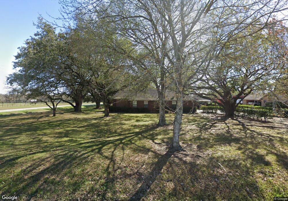
6110 Laurie St Pearland, TX 77581
Estimated Value: $363,000 - $500,000
3
Beds
3
Baths
2,253
Sq Ft
$185/Sq Ft
Est. Value
About This Home
This home is located at 6110 Laurie St, Pearland, TX 77581 and is currently estimated at $416,637, approximately $184 per square foot. 6110 Laurie St is a home located in Brazoria County with nearby schools including E A Lawhon Elementary School, Pearland Junior High School West, and Leon H. Sablatura Middle School.
Ownership History
Date
Name
Owned For
Owner Type
Purchase Details
Closed on
Jul 20, 2009
Sold by
Ransom Mundy R and Ransom Laura L
Bought by
Smith Charles R
Current Estimated Value
Purchase Details
Closed on
Sep 8, 2003
Sold by
Cowart John Lester and Cowart Charlene
Bought by
Ransom Mundy L and Ransom Laura L
Home Financials for this Owner
Home Financials are based on the most recent Mortgage that was taken out on this home.
Original Mortgage
$178,308
Interest Rate
6.08%
Mortgage Type
Purchase Money Mortgage
Purchase Details
Closed on
Apr 9, 1999
Sold by
Guajardo Ascidaliz Z
Bought by
Cowart John Lester and Cowart Charlene
Home Financials for this Owner
Home Financials are based on the most recent Mortgage that was taken out on this home.
Original Mortgage
$174,300
Interest Rate
7.06%
Create a Home Valuation Report for This Property
The Home Valuation Report is an in-depth analysis detailing your home's value as well as a comparison with similar homes in the area
Home Values in the Area
Average Home Value in this Area
Purchase History
| Date | Buyer | Sale Price | Title Company |
|---|---|---|---|
| Smith Charles R | -- | American Title Company | |
| Ransom Mundy L | -- | First American Title | |
| Cowart John Lester | -- | Alamo Title 22 |
Source: Public Records
Mortgage History
| Date | Status | Borrower | Loan Amount |
|---|---|---|---|
| Previous Owner | Ransom Mundy L | $178,308 | |
| Previous Owner | Cowart John Lester | $174,300 |
Source: Public Records
Tax History Compared to Growth
Tax History
| Year | Tax Paid | Tax Assessment Tax Assessment Total Assessment is a certain percentage of the fair market value that is determined by local assessors to be the total taxable value of land and additions on the property. | Land | Improvement |
|---|---|---|---|---|
| 2025 | $2,943 | $395,453 | $71,170 | $350,950 |
| 2024 | $2,943 | $359,503 | $71,170 | $359,607 |
| 2023 | $2,943 | $326,821 | $71,170 | $358,830 |
| 2022 | $7,147 | $297,110 | $71,170 | $277,720 |
| 2021 | $6,959 | $270,100 | $65,900 | $204,200 |
| 2020 | $6,880 | $255,000 | $60,630 | $194,370 |
| 2019 | $6,744 | $249,900 | $57,990 | $191,910 |
| 2018 | $6,368 | $237,000 | $57,990 | $179,010 |
| 2017 | $6,386 | $249,550 | $52,720 | $196,830 |
| 2016 | $5,805 | $215,000 | $52,720 | $162,280 |
| 2015 | $5,028 | $209,000 | $52,720 | $156,280 |
| 2014 | $5,028 | $201,770 | $52,720 | $149,050 |
Source: Public Records
Map
Nearby Homes
- 0 W Broadway St
- 0 Hatfield Rd Unit 37845028
- 0 Hatfield County Rd 480 Rd Unit 20764256
- 2236 Garden Rd Cr 109
- 5604 Broadway St
- 0 Ochoa Rd
- 5602 Megan St
- 6209 Butler Rd
- 6816 Broadway St
- 2453 Roy Rd Unit 105
- 3506 Windmill Palm Dr
- 2802 Afton Dr
- 2811 Afton Dr
- 2304 Lynn Dr
- 6204 Raintree Dr
- 5208 Cunningham Dr
- 5705 Woodville Ln
- 1849 Garden Rd
- 6108 Jordan Dr
- 5205 Carmona Ln