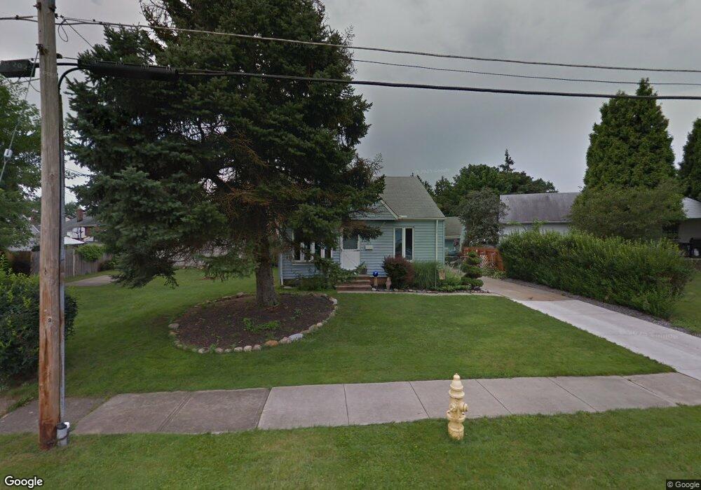
6115 Allanwood Dr Cleveland, OH 44129
Estimated Value: $184,000 - $227,000
3
Beds
1
Bath
1,344
Sq Ft
$151/Sq Ft
Est. Value
About This Home
This home is located at 6115 Allanwood Dr, Cleveland, OH 44129 and is currently estimated at $203,096, approximately $151 per square foot. 6115 Allanwood Dr is a home located in Cuyahoga County with nearby schools including Renwood Elementary School, Thoreau Park Elementary School, and Shiloh Middle School.
Ownership History
Date
Name
Owned For
Owner Type
Purchase Details
Closed on
Dec 10, 1993
Sold by
Petroff Paul V
Bought by
Reukauf Fred W
Current Estimated Value
Purchase Details
Closed on
Jan 9, 1984
Sold by
Petroff Paul V
Bought by
Petroff Paul
Purchase Details
Closed on
May 20, 1980
Sold by
Petroff Paul V and Petroff Alida M
Bought by
Petroff Paul
Purchase Details
Closed on
Jan 1, 1975
Bought by
Petroff Paul and Petroff Alida M
Create a Home Valuation Report for This Property
The Home Valuation Report is an in-depth analysis detailing your home's value as well as a comparison with similar homes in the area
Home Values in the Area
Average Home Value in this Area
Purchase History
| Date | Buyer | Sale Price | Title Company |
|---|---|---|---|
| Reukauf Fred W | $60,000 | -- | |
| Petroff Paul | -- | -- | |
| Petroff Paul | -- | -- | |
| Petroff Paul | -- | -- |
Source: Public Records
Tax History Compared to Growth
Tax History
| Year | Tax Paid | Tax Assessment Tax Assessment Total Assessment is a certain percentage of the fair market value that is determined by local assessors to be the total taxable value of land and additions on the property. | Land | Improvement |
|---|---|---|---|---|
| 2024 | $3,155 | $50,680 | $9,135 | $41,545 |
| 2023 | $2,962 | $41,200 | $8,090 | $33,110 |
| 2022 | $2,934 | $41,200 | $8,090 | $33,110 |
| 2021 | $3,016 | $41,200 | $8,090 | $33,110 |
| 2020 | $2,647 | $31,710 | $6,230 | $25,480 |
| 2019 | $2,533 | $90,600 | $17,800 | $72,800 |
| 2018 | $2,436 | $31,710 | $6,230 | $25,480 |
| 2017 | $2,486 | $28,880 | $4,800 | $24,080 |
| 2016 | $2,471 | $28,880 | $4,800 | $24,080 |
| 2015 | $2,361 | $28,880 | $4,800 | $24,080 |
| 2014 | $2,361 | $29,470 | $4,900 | $24,570 |
Source: Public Records
Map
Nearby Homes
- 6708 Thornton Dr
- 6610 Renwood Dr
- 5603 Allanwood Dr
- 6096 Wareham Dr
- 7014 Thornton Dr
- 6818 Hampstead Ave
- 6111 Manchester Rd
- 6406 Sunderland Dr
- 6704 Charles Ave
- 5815 Wilber Ave
- 7115 Hampstead Ave
- 6168 Manchester Rd
- 5415 Pelham Dr
- 6136 Ridge Rd
- 6903 Alber Ave
- 6706 Alber Ave
- 6189 W 54th St
- 6021 Snow Rd
- 6227 Ridge Rd
- 6234 N Canterbury Rd
- 6106 Haverhill Ave
- 6202 Haverhill Ave
- 6107 Allanwood Dr
- 6016 Haverhill Ave
- 6103 Allanwood Dr
- 6103 Haverhill Ave
- 6015 Allanwood Dr
- 6010 Haverhill Ave
- 6116 Allanwood Dr
- 6200 Allanwood Dr
- 6112 Allanwood Dr
- 6108 Dartworth Dr
- 6206 Allanwood Dr
- 6108 Allanwood Dr
- 6006 Haverhill Ave
- 6011 Haverhill Ave
- 6211 Dartworth Dr
- 6306 Dartworth Dr
- 6104 Allanwood Dr
- 6217 Dartworth Dr