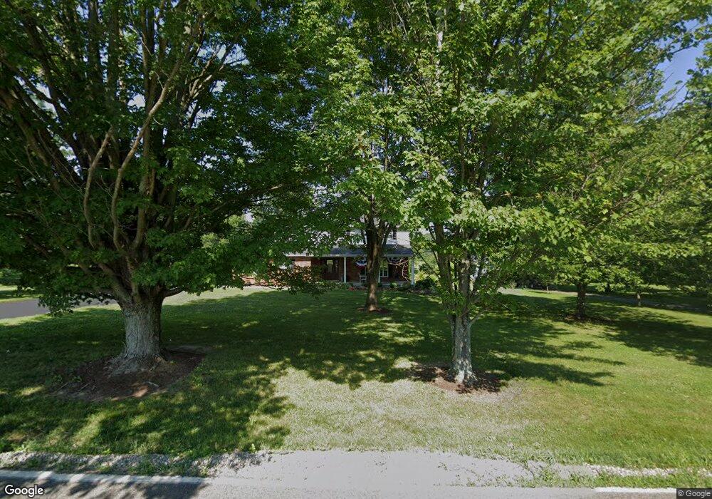
6117 Lesourdsville West Chester Rd Liberty Township, OH 45011
Estimated Value: $420,000 - $468,000
4
Beds
3
Baths
1,968
Sq Ft
$224/Sq Ft
Est. Value
About This Home
This home is located at 6117 Lesourdsville West Chester Rd, Liberty Township, OH 45011 and is currently estimated at $440,352, approximately $223 per square foot. 6117 Lesourdsville West Chester Rd is a home located in Butler County with nearby schools including Cherokee Elementary School, Heritage Early Childhood School, and Lakota Plains Junior School.
Ownership History
Date
Name
Owned For
Owner Type
Purchase Details
Closed on
Nov 15, 2007
Sold by
Plessinger Gary W and Plessinger Rebecca R
Bought by
Howe Matthew D and Howe Bridget C
Current Estimated Value
Home Financials for this Owner
Home Financials are based on the most recent Mortgage that was taken out on this home.
Original Mortgage
$180,000
Outstanding Balance
$114,298
Interest Rate
6.45%
Mortgage Type
Purchase Money Mortgage
Estimated Equity
$326,054
Purchase Details
Closed on
Mar 4, 1999
Sold by
Oakes Charles E and Oakes Ruth E
Bought by
Plessinger Gary W and Plessinger Rebecca R
Home Financials for this Owner
Home Financials are based on the most recent Mortgage that was taken out on this home.
Original Mortgage
$85,000
Interest Rate
6.94%
Create a Home Valuation Report for This Property
The Home Valuation Report is an in-depth analysis detailing your home's value as well as a comparison with similar homes in the area
Home Values in the Area
Average Home Value in this Area
Purchase History
| Date | Buyer | Sale Price | Title Company |
|---|---|---|---|
| Howe Matthew D | $225,000 | Homestwad Title Agency Ltd | |
| Plessinger Gary W | $175,000 | Safetitle Agency Inc |
Source: Public Records
Mortgage History
| Date | Status | Borrower | Loan Amount |
|---|---|---|---|
| Open | Howe Matthew D | $180,000 | |
| Previous Owner | Plessinger Gary W | $85,000 |
Source: Public Records
Tax History Compared to Growth
Tax History
| Year | Tax Paid | Tax Assessment Tax Assessment Total Assessment is a certain percentage of the fair market value that is determined by local assessors to be the total taxable value of land and additions on the property. | Land | Improvement |
|---|---|---|---|---|
| 2024 | $4,171 | $103,110 | $22,050 | $81,060 |
| 2023 | $4,069 | $103,110 | $22,050 | $81,060 |
| 2022 | $3,827 | $77,860 | $22,050 | $55,810 |
| 2021 | $3,901 | $77,860 | $22,050 | $55,810 |
| 2020 | $4,002 | $77,860 | $22,050 | $55,810 |
| 2019 | $6,227 | $64,640 | $22,050 | $42,590 |
| 2018 | $3,712 | $64,640 | $22,050 | $42,590 |
| 2017 | $3,770 | $64,640 | $22,050 | $42,590 |
| 2016 | $3,443 | $58,400 | $22,050 | $36,350 |
| 2015 | $3,443 | $58,400 | $22,050 | $36,350 |
| 2014 | $3,712 | $58,400 | $22,050 | $36,350 |
| 2013 | $3,712 | $60,830 | $20,650 | $40,180 |
Source: Public Records
Map
Nearby Homes
- 6189 Lesourdsville West Chester Rd
- 6140 Winding Creek Blvd
- 6290 Winding Creek Blvd
- 5850 Millikin Rd
- 6351 Lesourdsville West Chester Rd
- 5238 Brougham Ln
- 5276 Brougham Ln
- 5875 Tilbury Trail
- 5396 Brougham Ln
- 5145 Brougham Ln
- 5100 Brougham Ln
- 5934 Trotters Way
- 5627 Eagle Dance Dr
- Sanibel Plan at Carriage Meadows
- Carlisle Plan at Carriage Meadows
- Chattanooga Plan at Carriage Meadows
- Rockford Plan at Carriage Meadows
- Miramar Plan at Carriage Meadows
- Somerset Plan at Carriage Meadows
- Truman Plan at Carriage Meadows
- 6095 Lesourdsville West Chester Rd
- 6135 Lesourdsville West Chester Rd
- 6161 Lesourdsville West Chester Rd
- 6094 Lesourdsville West Chester Rd
- 6031 Lesourdsville West Chester Rd
- 10 Lesourdsville West Chester Rd
- 167 Lesourdsville West Chester Rd
- 6219 Lesourdsville West Chester Rd
- 6029 Lesourdsville West Chester Rd
- 6150 Winding Creek Blvd
- 6160 Winding Creek Blvd
- 6245 Lesourdsville West Chester Rd
- 6170 Winding Creek Blvd
- 215 Trails Run Ct
- 6120 Winding Creek Blvd
- 6130 Winding Creek Blvd
- 6180 Winding Creek Blvd
- 5577 Millikin Rd
- 6266 Lesourdsville West Chester Rd
- 118 Winding Creek Blvd