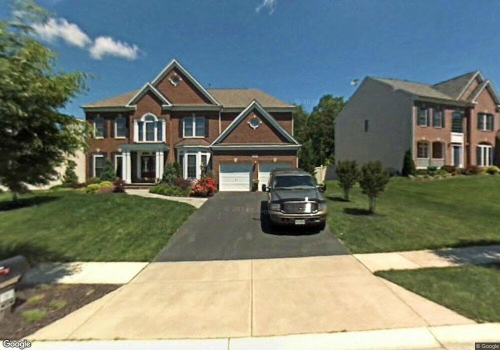
612 Pearl Point Ct Millersville, MD 21108
Estimated Value: $803,000 - $888,179
5
Beds
5
Baths
3,156
Sq Ft
$269/Sq Ft
Est. Value
About This Home
This home is located at 612 Pearl Point Ct, Millersville, MD 21108 and is currently estimated at $848,295, approximately $268 per square foot. 612 Pearl Point Ct is a home located in Anne Arundel County with nearby schools including Glen Burnie Park Elementary School, Old Mill High School, and Archbishop Spalding High School.
Ownership History
Date
Name
Owned For
Owner Type
Purchase Details
Closed on
May 6, 2011
Sold by
Jones Wayne S
Bought by
Dehn Robert F and Dehn Linda S
Current Estimated Value
Purchase Details
Closed on
May 5, 2011
Sold by
Jones Wayne S
Bought by
Dehn Robert F and Dehn Linda S
Purchase Details
Closed on
Aug 14, 2002
Sold by
Shipley'S Retreat Llc
Bought by
Jones Wayne S and Martin Jones Michele
Create a Home Valuation Report for This Property
The Home Valuation Report is an in-depth analysis detailing your home's value as well as a comparison with similar homes in the area
Home Values in the Area
Average Home Value in this Area
Purchase History
| Date | Buyer | Sale Price | Title Company |
|---|---|---|---|
| Dehn Robert F | $655,000 | -- | |
| Dehn Robert F | $655,000 | -- | |
| Dehn Robert F | $655,000 | -- | |
| Dehn Robert F | $655,000 | -- | |
| Jones Wayne S | $507,855 | -- |
Source: Public Records
Mortgage History
| Date | Status | Borrower | Loan Amount |
|---|---|---|---|
| Closed | Jones Wayne S | -- |
Source: Public Records
Tax History Compared to Growth
Tax History
| Year | Tax Paid | Tax Assessment Tax Assessment Total Assessment is a certain percentage of the fair market value that is determined by local assessors to be the total taxable value of land and additions on the property. | Land | Improvement |
|---|---|---|---|---|
| 2025 | $6,996 | $633,733 | -- | -- |
| 2024 | $6,996 | $593,000 | $227,200 | $365,800 |
| 2023 | $6,854 | $584,267 | $0 | $0 |
| 2022 | $6,445 | $575,533 | $0 | $0 |
| 2021 | $0 | $566,800 | $200,400 | $366,400 |
| 2020 | $6,232 | $558,733 | $0 | $0 |
| 2019 | $6,153 | $550,667 | $0 | $0 |
| 2018 | $5,502 | $542,600 | $190,400 | $352,200 |
| 2017 | $5,912 | $542,600 | $0 | $0 |
| 2016 | $115 | $542,600 | $0 | $0 |
| 2015 | $115 | $546,900 | $0 | $0 |
| 2014 | -- | $546,900 | $0 | $0 |
Source: Public Records
Map
Nearby Homes
- 8011 Horicon Point Dr
- 601 Brightwood Rd
- 15 Tremont Dr
- 701 Kenora Ct
- 584 Brightview Dr
- 2 Arrowleaf Dr
- 630 Cross Chase Dr
- 401 Green Grove Ct
- 565 Belmawr Place
- 2664 Carver Rd
- 529 Chalet Dr W
- 8421 Norwood Dr
- 8253 Rupert Rd S
- 8251 Rupert Rd S
- 525 Old Mill Rd
- 759 Stacy Oak Way
- 764 Springbloom Dr
- 302 Blue Cedar Ct
- 8297 Kippis Rd
- 8262 Kippis Rd
- 610 Pearl Point Ct
- 614 Pearl Point Ct
- 616 Pearl Point Ct
- 608 Pearl Point Ct
- 613 Pearl Point Ct
- 611 Pearl Point Ct
- 606 Pearl Point Ct
- 618 Pearl Point Ct
- 609 Pearl Point Ct
- 607 Pearl Point Ct
- 617 Pearl Point Ct
- 620 Pearl Point Ct
- 605 Pearl Point Ct
- 619 Pearl Point Ct
- 622 Pearl Point Ct
- 621 Pearl Point Ct
- 604 Pearl Point Ct
- 602 Pearl Point Ct
- 512 French Point Ct
- 510 French Point Ct