612 Peninsula Dr Westwood, CA 96137
Estimated Value: $2,922,000 - $3,886,000
2
Beds
4
Baths
6,400
Sq Ft
$526/Sq Ft
Est. Value
About This Home
This home is located at 612 Peninsula Dr, Westwood, CA 96137 and is currently estimated at $3,369,461, approximately $526 per square foot. 612 Peninsula Dr is a home located in Plumas County with nearby schools including Lake Almanor Christian School.
Ownership History
Date
Name
Owned For
Owner Type
Purchase Details
Closed on
Jun 6, 2008
Sold by
Mcnutt Rose Marie
Bought by
Mcnutt C Scott and Mcnutt Rose Marie
Current Estimated Value
Purchase Details
Closed on
Sep 4, 2007
Sold by
Holmgren Diane E and The Reinstated Trust One Of Th
Bought by
Mcnutt C Scott and Mcnutt Rose Marie
Purchase Details
Closed on
Jan 24, 2007
Sold by
Holmgren Diane E and Holmgren Diane
Bought by
Holmgren Diane E and Kenneth & Diane Holmgren 1975
Create a Home Valuation Report for This Property
The Home Valuation Report is an in-depth analysis detailing your home's value as well as a comparison with similar homes in the area
Home Values in the Area
Average Home Value in this Area
Purchase History
| Date | Buyer | Sale Price | Title Company |
|---|---|---|---|
| Mcnutt C Scott | -- | None Available | |
| Mcnutt C Scott | -- | None Available | |
| Mcnutt C Scott | -- | None Available | |
| Mcnutt C Scott | -- | None Available | |
| Mcnutt C Scott | $3,500,000 | Fidelity Natl Title Co Of Ca | |
| Holmgren Diane E | -- | None Available |
Source: Public Records
Tax History Compared to Growth
Tax History
| Year | Tax Paid | Tax Assessment Tax Assessment Total Assessment is a certain percentage of the fair market value that is determined by local assessors to be the total taxable value of land and additions on the property. | Land | Improvement |
|---|---|---|---|---|
| 2025 | $33,708 | $2,947,533 | $1,037,780 | $1,909,753 |
| 2023 | $33,708 | $2,094,013 | $737,269 | $1,356,744 |
| 2022 | $22,719 | $2,052,954 | $722,813 | $1,330,141 |
| 2021 | $22,342 | $2,052,954 | $722,813 | $1,330,141 |
| 2020 | $23,085 | $2,052,954 | $722,813 | $1,330,141 |
| 2019 | $22,785 | $2,026,873 | $722,813 | $1,304,060 |
| 2018 | $21,827 | $1,988,891 | $722,813 | $1,266,078 |
| 2017 | $21,714 | $1,949,893 | $708,640 | $1,241,253 |
| 2016 | $19,799 | $1,893,100 | $688,000 | $1,205,100 |
| 2015 | $19,463 | $1,858,000 | $688,000 | $1,170,000 |
| 2014 | $19,491 | $1,858,000 | $688,000 | $1,170,000 |
Source: Public Records
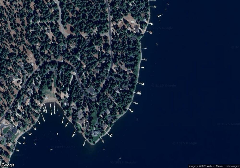
Map
Nearby Homes
- 625 Deep Forest Rd
- 662 Peninsula Dr
- 663 Peninsula Dr
- 525 Peninsula Dr
- 523 Peninsula Dr
- 547 Ponderosa Dr
- 623 Cedar Canyon Rd
- 631 Cedar Canyon Rd
- 665 Peninsula Dr
- 719 Peninsula Dr
- 1213 Peninsula Dr
- 78 Lakeside Dr
- 629 Pine Canyon Rd
- 445 Cedar Cir
- 379 Clifford Dr
- 1129 Clifford Dr
- 101 Clifford Dr
- 319 Clifford Dr
- 728 Lake Ridge Rd
- 334 Peninsula Dr
- 614 Peninsula Dr
- 609 Peninsula Dr
- 608 Peninsula Dr
- 610 Peninsula Dr
- 616 Peninsula Dr
- 607 Peninsula Dr
- 606 Peninsula Dr
- 623 Peninsula Dr
- 605 Peninsula Dr
- 629 Peninsula Dr
- 604 Peninsula Dr
- 603 Peninsula Dr
- 602 Peninsula Dr
- 631 Peninsula Dr
- 620 Peninsula Dr
- 628 Peninsula Dr Unit 2
- 628 Peninsula Dr
- 630 Peninsula Dr
- 626 Peninsula Dr
- 622 Peninsula Dr Unit 2