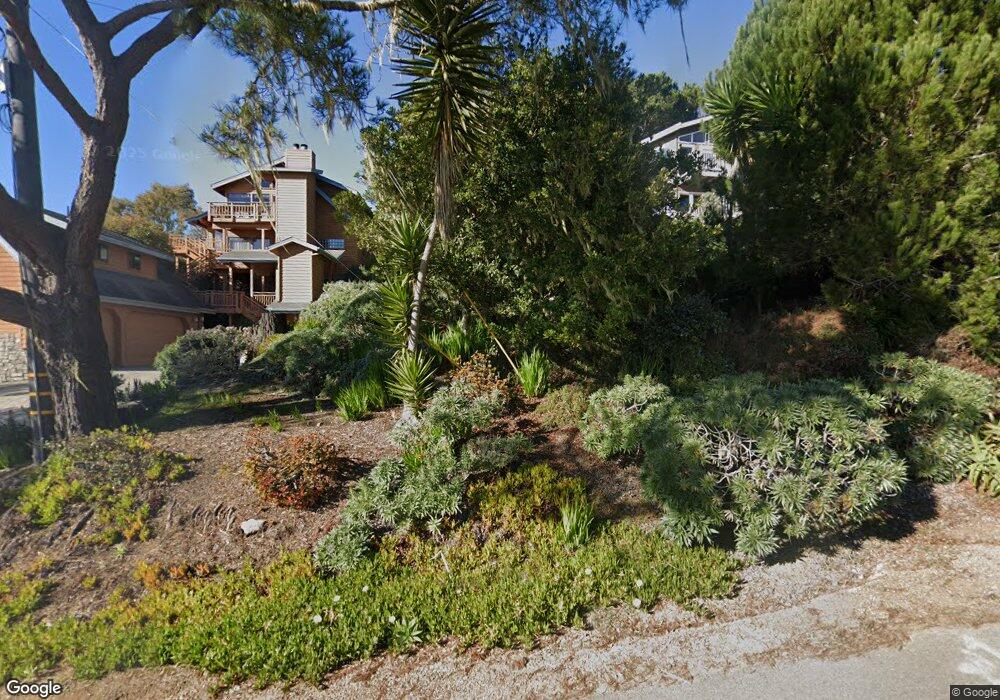
612 Randall Dr Cambria, CA 93428
Cambria NeighborhoodEstimated Value: $130,000 - $1,018,000
--
Bed
--
Bath
--
Sq Ft
7,405
Sq Ft Lot
About This Home
This home is located at 612 Randall Dr, Cambria, CA 93428 and is currently estimated at $488,712. 612 Randall Dr is a home located in San Luis Obispo County with nearby schools including Cambria Grammar, Santa Lucia Middle School, and Coast Union High School.
Ownership History
Date
Name
Owned For
Owner Type
Purchase Details
Closed on
Apr 23, 2010
Sold by
Hilger Deon T
Bought by
Hilger Deon T
Current Estimated Value
Purchase Details
Closed on
Apr 16, 2008
Sold by
Beckman Donna Maureen and Blevins Marilyn Sue
Bought by
Hilger Deon T
Home Financials for this Owner
Home Financials are based on the most recent Mortgage that was taken out on this home.
Original Mortgage
$417,000
Outstanding Balance
$264,428
Interest Rate
5.99%
Mortgage Type
Purchase Money Mortgage
Estimated Equity
$224,284
Purchase Details
Closed on
Aug 22, 1997
Sold by
Sterner Dolores M
Bought by
Sterner Dolores M
Create a Home Valuation Report for This Property
The Home Valuation Report is an in-depth analysis detailing your home's value as well as a comparison with similar homes in the area
Home Values in the Area
Average Home Value in this Area
Purchase History
| Date | Buyer | Sale Price | Title Company |
|---|---|---|---|
| Hilger Deon T | -- | None Available | |
| Hilger Deon T | $995,000 | First American Title Co | |
| Sterner Dolores M | -- | -- |
Source: Public Records
Mortgage History
| Date | Status | Borrower | Loan Amount |
|---|---|---|---|
| Open | Hilger Deon T | $417,000 |
Source: Public Records
Tax History Compared to Growth
Tax History
| Year | Tax Paid | Tax Assessment Tax Assessment Total Assessment is a certain percentage of the fair market value that is determined by local assessors to be the total taxable value of land and additions on the property. | Land | Improvement |
|---|---|---|---|---|
| 2025 | $1,733 | $161,308 | $161,308 | -- |
| 2024 | $1,703 | $158,146 | $158,146 | -- |
| 2023 | $1,703 | $155,046 | $155,046 | $0 |
| 2022 | $1,669 | $152,006 | $152,006 | $0 |
| 2021 | $1,644 | $149,026 | $149,026 | $0 |
| 2020 | $1,623 | $147,498 | $147,498 | $0 |
| 2019 | $1,592 | $144,606 | $144,606 | $0 |
| 2018 | $1,560 | $141,771 | $141,771 | $0 |
| 2017 | $1,529 | $138,992 | $138,992 | $0 |
| 2016 | $1,498 | $136,267 | $136,267 | $0 |
| 2015 | $1,477 | $134,221 | $134,221 | $0 |
| 2014 | $1,425 | $131,592 | $131,592 | $0 |
Source: Public Records
Map
Nearby Homes
- 1799 Saint Thomas Ave
- 605 Ardath Dr
- 1606 Saint James Rd
- 1970 Emmons Rd
- 0 Oxford Ave
- 0 Madison Unit SC25216306
- 740 Ardath Dr
- 395 Ivar St
- 0 Saint James Rd Unit SC22215081
- 379 Harvey St
- 1980 Sherwood Dr
- 305 Ivar St
- 1955 Avon Ave
- 0 Benson Ave Unit SC24044076
- 1845 Norwich Ave
- 0 Norwich Ave Unit SC25173481
- 1401 Nault Ave
- 0 Tully Place Unit SC25234309
- 0 Tully Place Unit SC22204783
- 1818 Tweed Ave
- 610 Randall Dr
- 616 Randall Dr
- 1745 Newhall Ave
- 1760 Ogden Dr
- 1755 Newhall Ave
- 620 Randall Dr
- 1770 Ogden Dr
- 1735 Newhall Ave
- 1786 Ogden Dr
- 630 Randall Dr
- 1783 Newhall Ave
- 1715 Ogden Dr
- 1790 Ogden Dr
- 1744 Newhall Ave
- 634 Randall Dr
- 1791 Newhall Ave
- 1735 Ogden Dr
- 1710 Newhall Ave
- 1747 Saint Thomas Ave
- 1755 Saint Thomas Ave