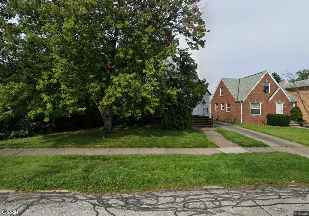
6144 Manchester Rd Cleveland, OH 44129
Estimated Value: $201,459 - $223,000
3
Beds
1
Bath
1,464
Sq Ft
$145/Sq Ft
Est. Value
About This Home
This home is located at 6144 Manchester Rd, Cleveland, OH 44129 and is currently estimated at $212,115, approximately $144 per square foot. 6144 Manchester Rd is a home located in Cuyahoga County with nearby schools including Renwood Elementary School, Thoreau Park Elementary School, and Parma High School.
Ownership History
Date
Name
Owned For
Owner Type
Purchase Details
Closed on
Mar 9, 2010
Sold by
Estate Of Jane M Szostakowski
Bought by
Awronski Alan M
Current Estimated Value
Purchase Details
Closed on
Jan 21, 2000
Sold by
Szostakowski James M
Bought by
Szostakowski James M
Purchase Details
Closed on
Mar 4, 1980
Sold by
Zbiegien Frank P
Bought by
Szostakowski James M
Purchase Details
Closed on
Mar 15, 1979
Sold by
Craft W M and M M
Bought by
Zbiegien Frank P
Purchase Details
Closed on
Jan 1, 1975
Bought by
Craft W M and M M
Create a Home Valuation Report for This Property
The Home Valuation Report is an in-depth analysis detailing your home's value as well as a comparison with similar homes in the area
Home Values in the Area
Average Home Value in this Area
Purchase History
| Date | Buyer | Sale Price | Title Company |
|---|---|---|---|
| Awronski Alan M | -- | None Available | |
| Szostakowski James M | -- | -- | |
| Szostakowski James M | $60,000 | -- | |
| Zbiegien Frank P | $55,000 | -- | |
| Craft W M | -- | -- |
Source: Public Records
Tax History Compared to Growth
Tax History
| Year | Tax Paid | Tax Assessment Tax Assessment Total Assessment is a certain percentage of the fair market value that is determined by local assessors to be the total taxable value of land and additions on the property. | Land | Improvement |
|---|---|---|---|---|
| 2024 | $3,524 | $56,000 | $16,310 | $39,690 |
| 2023 | $3,421 | $47,500 | $14,420 | $33,080 |
| 2022 | $3,984 | $47,500 | $14,420 | $33,080 |
| 2021 | $3,486 | $47,500 | $14,420 | $33,080 |
| 2020 | $3,059 | $36,540 | $11,100 | $25,450 |
| 2019 | $2,935 | $104,400 | $31,700 | $72,700 |
| 2018 | $2,951 | $36,540 | $11,100 | $25,450 |
| 2017 | $2,667 | $30,520 | $8,050 | $22,470 |
| 2016 | $2,651 | $30,520 | $8,050 | $22,470 |
| 2015 | $2,544 | $30,520 | $8,050 | $22,470 |
| 2014 | $2,544 | $31,160 | $8,230 | $22,930 |
Source: Public Records
Map
Nearby Homes
- 6168 Manchester Rd
- 6136 Ridge Rd
- 6111 Manchester Rd
- 6227 Ridge Rd
- 6234 N Canterbury Rd
- 6096 Wareham Dr
- 7503 Whittington Dr
- 6701 Pelham Dr
- 6610 Renwood Dr
- 6298 Chestnut Hills Dr
- 7014 Thornton Dr
- 6708 Thornton Dr
- 6510 Belmere Dr
- 7115 Hampstead Ave
- 8017 Wainstead Dr
- 7514 Spring Garden Rd
- 8017 Ackley Rd
- 6818 Hampstead Ave
- 6704 Charles Ave
- 7615 Bertha Ave
- 6150 Manchester Rd
- 6134 Manchester Rd
- 6154 Manchester Rd
- 6128 Manchester Rd
- 6160 Manchester Rd
- 6120 Manchester Rd
- 6145 Ridge Rd
- 6151 Ridge Rd
- 6164 Manchester Rd
- 6127 Ridge Rd
- 6157 Ridge Rd
- 6145 Manchester Rd
- 6114 Manchester Rd
- 6149 Manchester Rd
- 6137 Manchester Rd
- 6129 Manchester Rd
- 6155 Manchester Rd
- 6121 Ridge Rd
- 6163 Ridge Rd
- 6133 Ridge Rd