6147 NW Boyd Rd Rossville, KS 66533
Estimated Value: $254,000 - $480,000
3
Beds
2
Baths
2,403
Sq Ft
$143/Sq Ft
Est. Value
About This Home
This home is located at 6147 NW Boyd Rd, Rossville, KS 66533 and is currently estimated at $343,525, approximately $142 per square foot. 6147 NW Boyd Rd is a home located in Shawnee County with nearby schools including Rossville Elementary School and Rossville Junior/Senior High School.
Ownership History
Date
Name
Owned For
Owner Type
Purchase Details
Closed on
Jun 10, 2016
Sold by
Campbell Matt L and Campbell Janell
Bought by
Michels Gordon
Current Estimated Value
Purchase Details
Closed on
Apr 29, 2010
Sold by
The First National Bank Of Wamego
Bought by
Campbell Matt L and Campbell Janell C
Home Financials for this Owner
Home Financials are based on the most recent Mortgage that was taken out on this home.
Original Mortgage
$156,000
Interest Rate
5.14%
Mortgage Type
Future Advance Clause Open End Mortgage
Create a Home Valuation Report for This Property
The Home Valuation Report is an in-depth analysis detailing your home's value as well as a comparison with similar homes in the area
Home Values in the Area
Average Home Value in this Area
Purchase History
| Date | Buyer | Sale Price | Title Company |
|---|---|---|---|
| Michels Gordon | -- | Lawyers Title Of Topeka Inc | |
| Campbell Matt L | -- | First American Title |
Source: Public Records
Mortgage History
| Date | Status | Borrower | Loan Amount |
|---|---|---|---|
| Previous Owner | Campbell Matt L | $156,000 |
Source: Public Records
Tax History Compared to Growth
Tax History
| Year | Tax Paid | Tax Assessment Tax Assessment Total Assessment is a certain percentage of the fair market value that is determined by local assessors to be the total taxable value of land and additions on the property. | Land | Improvement |
|---|---|---|---|---|
| 2025 | $3,550 | $28,898 | -- | -- |
| 2023 | $3,550 | $27,837 | $0 | $0 |
| 2022 | $3,118 | $25,439 | $0 | $0 |
| 2021 | $2,862 | $22,877 | $0 | $0 |
| 2020 | $2,654 | $21,879 | $0 | $0 |
| 2019 | $2,536 | $21,150 | $0 | $0 |
| 2018 | $2,569 | $21,084 | $0 | $0 |
| 2017 | $2,594 | $21,258 | $0 | $0 |
| 2014 | $2,517 | $19,922 | $0 | $0 |
Source: Public Records
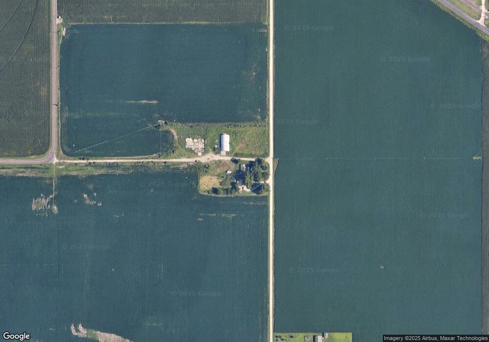
Map
Nearby Homes
- 16037 U S 24
- 0000 NW Bailey Rd
- 117 N Main St
- 321 W Perry St
- 208 W Pottawatomie St
- 611 Pearl St
- 000 Wabaunsee Rd E
- 0000 Wabaunsee Rd E
- 25160 Highway 24
- tract 2 Highway 24
- 300 W Durink St
- 00000 NW 86th St
- 1224 N Pawnee Dr
- Lot 8 Valley View Rd
- Lot 1 Valley View Rd
- Lot 5 Valley View Rd
- Lot 20 Valley View Rd
- Lot 13 Valley View Rd
- Lot 2 Valley View Rd
- Lot 17 Valley View Rd