615 Cedar Oak Dr Unit 6 Pottsboro, TX 75076
Estimated Value: $511,000 - $565,549
--
Bed
--
Bath
1,492
Sq Ft
$367/Sq Ft
Est. Value
About This Home
This home is located at 615 Cedar Oak Dr Unit 6, Pottsboro, TX 75076 and is currently estimated at $548,137, approximately $367 per square foot. 615 Cedar Oak Dr Unit 6 is a home located in Grayson County with nearby schools including Pottsboro Elementary School, Pottsboro Middle School, and Pottsboro High School.
Ownership History
Date
Name
Owned For
Owner Type
Purchase Details
Closed on
Jan 25, 2024
Sold by
Thomas Jeff and Thomas Heather
Bought by
Jeff And Heather Thomas Living Trust and Thomas
Current Estimated Value
Purchase Details
Closed on
Aug 26, 2010
Sold by
Henderson Barbara A
Bought by
Thomas Jeff and Thomas Heather
Create a Home Valuation Report for This Property
The Home Valuation Report is an in-depth analysis detailing your home's value as well as a comparison with similar homes in the area
Home Values in the Area
Average Home Value in this Area
Purchase History
| Date | Buyer | Sale Price | Title Company |
|---|---|---|---|
| Jeff And Heather Thomas Living Trust | -- | None Listed On Document | |
| Thomas Jeff | -- | Chapin Title Co Inc |
Source: Public Records
Tax History Compared to Growth
Tax History
| Year | Tax Paid | Tax Assessment Tax Assessment Total Assessment is a certain percentage of the fair market value that is determined by local assessors to be the total taxable value of land and additions on the property. | Land | Improvement |
|---|---|---|---|---|
| 2025 | $7,626 | $514,224 | $219,759 | $294,465 |
| 2024 | $7,626 | $550,430 | $258,278 | $292,152 |
| 2023 | $7,986 | $575,441 | $276,916 | $298,525 |
| 2022 | $7,720 | $490,471 | $272,645 | $217,826 |
| 2021 | $6,386 | $392,666 | $156,282 | $236,384 |
| 2020 | $6,167 | $365,327 | $135,414 | $229,913 |
| 2019 | $6,163 | $348,360 | $135,414 | $212,946 |
| 2018 | $3,875 | $216,265 | $64,600 | $151,665 |
| 2017 | $3,747 | $206,447 | $64,600 | $141,847 |
| 2016 | $3,734 | $205,701 | $64,600 | $141,101 |
| 2015 | $0 | $193,563 | $64,600 | $128,963 |
| 2014 | $2,138 | $114,810 | $56,027 | $58,783 |
Source: Public Records
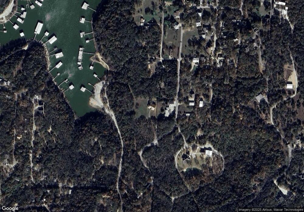
Map
Nearby Homes
- 16 Wales Dr
- 491 Black Forest Dr
- 191 Black Forest Dr
- 33 Queens Dr
- 226 Cambridge Dr
- 83 Mayfield Ln
- 258 Lou-Sand Hill Rd
- 142 Wales Dr
- 545 Black Forest Dr
- 116 Oak Hills Dr
- 207 Wales Dr
- 11 Mayfield Ln
- 219 Ray Rd
- 766 Lakepoint Loop
- 81 Windsor Dr
- 588 Lakepoint Loop
- 34 Cambridge Dr
- 455 Lakepoint Loop
- 118 Hacienda Dr
- 344 Castle Dr
- 589 Cedar Oak Dr
- 578 Cedar Oak Dr
- 636 Cedar Oak Dr
- 33 Henderson Ln
- TBD Cedar Oaks Dr
- 552 Cedar Oak Dr
- 257 Byrd Ln
- 22 Henderson Ln
- 37 Henderson Ln
- 350 Byrd Ln
- 694 Cedar Oak Dr
- 235 Byrd Ln
- 1.46 Ac Byrd Ln
- 211 Hunt Rd
- 103 Henderson Ln
- 37 Westminister Dr
- 0 Westminster
- 181 Byrd Ln
- 63 Westminister Dr
- 763 Cedar Oak Dr