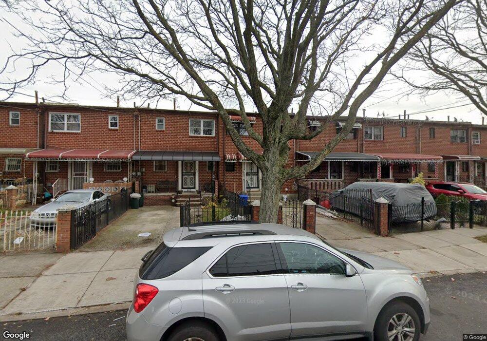
615 Sackman St Brooklyn, NY 11212
Brownsville NeighborhoodEstimated Value: $575,537 - $660,000
--
Bed
--
Bath
1,116
Sq Ft
$547/Sq Ft
Est. Value
About This Home
This home is located at 615 Sackman St, Brooklyn, NY 11212 and is currently estimated at $610,384, approximately $546 per square foot. 615 Sackman St is a home located in Kings County with nearby schools including P.S. 165 Ida Posner, P.S. 150 - Christopher, and P.S. 156 Waverly.
Ownership History
Date
Name
Owned For
Owner Type
Purchase Details
Closed on
Sep 21, 2016
Sold by
Sackman 615 Llc
Bought by
Mccarthy Shirvonne M
Current Estimated Value
Home Financials for this Owner
Home Financials are based on the most recent Mortgage that was taken out on this home.
Original Mortgage
$363,298
Outstanding Balance
$288,498
Interest Rate
3.25%
Mortgage Type
FHA
Estimated Equity
$321,886
Purchase Details
Closed on
Nov 6, 2015
Sold by
Estate Of Sylvia Aqui
Bought by
Sackman 615 Llc
Create a Home Valuation Report for This Property
The Home Valuation Report is an in-depth analysis detailing your home's value as well as a comparison with similar homes in the area
Home Values in the Area
Average Home Value in this Area
Purchase History
| Date | Buyer | Sale Price | Title Company |
|---|---|---|---|
| Mccarthy Shirvonne M | $375,000 | -- | |
| Sackman 615 Llc | $305,000 | -- |
Source: Public Records
Mortgage History
| Date | Status | Borrower | Loan Amount |
|---|---|---|---|
| Open | Mccarthy Shirvonne M | $363,298 |
Source: Public Records
Tax History Compared to Growth
Tax History
| Year | Tax Paid | Tax Assessment Tax Assessment Total Assessment is a certain percentage of the fair market value that is determined by local assessors to be the total taxable value of land and additions on the property. | Land | Improvement |
|---|---|---|---|---|
| 2025 | $3,590 | $36,240 | $11,100 | $25,140 |
| 2024 | $3,590 | $33,600 | $11,100 | $22,500 |
| 2023 | $3,630 | $34,920 | $11,100 | $23,820 |
| 2022 | $3,541 | $30,600 | $11,100 | $19,500 |
| 2021 | $3,522 | $23,640 | $11,100 | $12,540 |
| 2020 | $2,641 | $23,460 | $11,100 | $12,360 |
| 2019 | $3,104 | $23,460 | $11,100 | $12,360 |
| 2018 | $5,714 | $14,894 | $7,194 | $7,700 |
| 2017 | $2,367 | $14,781 | $8,519 | $6,262 |
| 2016 | $2,167 | $13,945 | $8,349 | $5,596 |
| 2015 | $1,243 | $13,156 | $6,986 | $6,170 |
| 2014 | $1,243 | $12,412 | $7,739 | $4,673 |
Source: Public Records
Map
Nearby Homes
- 546 Powell St
- 699 Sackman St
- 563 Powell St
- 533 Snediker Ave
- 797 Mother Gaston Blvd
- 406 Hinsdale St
- 442 Newport St
- 541 Hinsdale St
- 440 Blake Ave
- 584 Hinsdale St
- 576 Williams Ave
- 578 Williams Ave
- 582 Williams Ave
- 258 Lott Ave
- 555 Christopher Ave
- 589 Hinsdale St
- 578 Christopher Ave
- 606 Alabama Ave
- 610 Alabama Ave
- 650 Williams Ave