6154 Slick Rock Dr Conroe, TX 77304
Estimated Value: $1,036,000 - $1,212,000
--
Bed
2
Baths
4,623
Sq Ft
$247/Sq Ft
Est. Value
About This Home
This home is located at 6154 Slick Rock Dr, Conroe, TX 77304 and is currently estimated at $1,140,324, approximately $246 per square foot. 6154 Slick Rock Dr is a home located in Montgomery County with nearby schools including Eddie Ruth Lagway Elementary, Robert P. Brabham Middle School, and Willis High School.
Ownership History
Date
Name
Owned For
Owner Type
Purchase Details
Closed on
Jun 15, 2010
Sold by
Teaswood Property Interests Ltd
Bought by
Anderson Scott E and Anderson Claudina
Current Estimated Value
Home Financials for this Owner
Home Financials are based on the most recent Mortgage that was taken out on this home.
Original Mortgage
$50,000
Outstanding Balance
$33,444
Interest Rate
4.93%
Mortgage Type
Seller Take Back
Estimated Equity
$1,106,880
Create a Home Valuation Report for This Property
The Home Valuation Report is an in-depth analysis detailing your home's value as well as a comparison with similar homes in the area
Home Values in the Area
Average Home Value in this Area
Purchase History
| Date | Buyer | Sale Price | Title Company |
|---|---|---|---|
| Anderson Scott E | -- | Fidelity National Title |
Source: Public Records
Mortgage History
| Date | Status | Borrower | Loan Amount |
|---|---|---|---|
| Open | Anderson Scott E | $50,000 |
Source: Public Records
Tax History Compared to Growth
Tax History
| Year | Tax Paid | Tax Assessment Tax Assessment Total Assessment is a certain percentage of the fair market value that is determined by local assessors to be the total taxable value of land and additions on the property. | Land | Improvement |
|---|---|---|---|---|
| 2025 | $15,284 | $1,121,789 | $285,723 | $836,066 |
| 2024 | $14,783 | $1,111,660 | -- | -- |
| 2023 | $14,783 | $1,010,600 | $285,720 | $928,100 |
| 2022 | $19,422 | $918,730 | $285,720 | $719,150 |
| 2021 | $18,227 | $835,210 | $285,720 | $549,490 |
| 2020 | $19,647 | $846,220 | $285,720 | $560,500 |
| 2019 | $20,978 | $859,100 | $285,720 | $573,380 |
| 2018 | $13,813 | $859,100 | $285,720 | $573,380 |
| 2017 | $14,291 | $583,060 | $285,720 | $297,340 |
| 2016 | $7,183 | $293,050 | $293,050 | $0 |
| 2015 | $6,884 | $279,000 | $279,000 | $0 |
| 2014 | $6,884 | $279,000 | $279,000 | $0 |
Source: Public Records
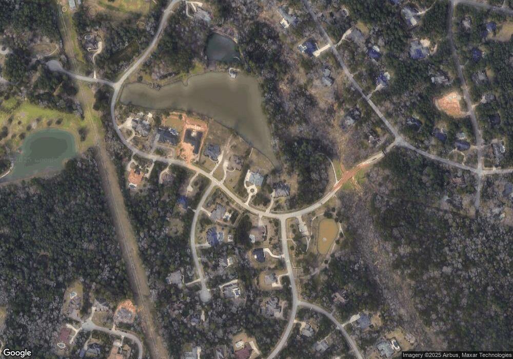
Map
Nearby Homes
- 3 Quinns Cabin Ct
- 10362 Hunter Creek Ln
- 10308 Paradise Valley Dr
- 10332 Hunter Creek Ln
- 7373 Teaswood Dr
- 2260 Teas Crossing Dr
- 12 Robin Trail
- 10265 Paradise Valley
- 5431 Pine Springs Ct
- 7393 Teaswood Dr
- 7389 Teaswood
- 2815 Jacqueline Ln
- 26 Royal Dalton Cir
- 2906 Lawrence Park Ct
- 1928 Velvet Oak Ln
- 6970 Longmire Rd
- 10926 Kaleo Way
- 1663 Shae Oak Ln
- 1920 Velvet Oak Ln
- 1916 Velvet Oak Ln
- 6152 Slick Rock Dr
- 6156 Slick Rock Dr
- 1 Quinns Cabin Ct
- 1 Quinn's Cabin Ct
- 7330 Teas Cottage Dr
- 6150 Slick Rock Dr
- 6158 Slick Rock Dr
- 2 Quinn's Cabin Ct
- 6161 Slick Rock Dr
- 6160 Slick Rock Dr
- 11 Quinn's Cabin Ct
- 6163 Slick Rock Dr
- 7328 Teas Cottage Dr
- 7326 Teas Cottage Dr
- 6162 Slick Rock Dr
- 7337 Teaswood Dr
- 4 Quinns Cabin Ct
- 7333 Teaswood Dr
- 9 Quinns Cabin Ct
- 6150 Waltons Point