6158 Slick Rock Dr Conroe, TX 77304
Estimated Value: $1,032,000 - $1,463,000
--
Bed
1
Bath
4,991
Sq Ft
$249/Sq Ft
Est. Value
About This Home
This home is located at 6158 Slick Rock Dr, Conroe, TX 77304 and is currently estimated at $1,243,043, approximately $249 per square foot. 6158 Slick Rock Dr is a home with nearby schools including Eddie Ruth Lagway Elementary, Robert P. Brabham Middle School, and Willis High School.
Ownership History
Date
Name
Owned For
Owner Type
Purchase Details
Closed on
Jun 13, 2018
Sold by
Berg Bradley B and Rolle Berg Ramona H
Bought by
Brb Living Trust
Current Estimated Value
Purchase Details
Closed on
May 27, 2015
Sold by
Casso Ron and Casso Charlotte
Bought by
Berg Bradly B and Rolle Berg Ramona H
Purchase Details
Closed on
Mar 10, 2011
Sold by
Teaswood Property Interests Ltd
Bought by
Casso Ron and Casso Charlotte
Create a Home Valuation Report for This Property
The Home Valuation Report is an in-depth analysis detailing your home's value as well as a comparison with similar homes in the area
Home Values in the Area
Average Home Value in this Area
Purchase History
| Date | Buyer | Sale Price | Title Company |
|---|---|---|---|
| Brb Living Trust | -- | None Available | |
| Berg Bradly B | -- | Startex Title Co | |
| Casso Ron | -- | None Available |
Source: Public Records
Tax History Compared to Growth
Tax History
| Year | Tax Paid | Tax Assessment Tax Assessment Total Assessment is a certain percentage of the fair market value that is determined by local assessors to be the total taxable value of land and additions on the property. | Land | Improvement |
|---|---|---|---|---|
| 2025 | $25,938 | $1,450,342 | $313,049 | $1,137,293 |
| 2024 | $22,952 | $1,483,141 | -- | -- |
| 2023 | $22,952 | $1,348,310 | $313,050 | $1,278,740 |
| 2022 | $25,912 | $1,225,740 | $313,050 | $999,950 |
| 2021 | $24,318 | $1,114,310 | $313,050 | $801,260 |
| 2020 | $26,249 | $1,130,610 | $313,050 | $817,560 |
| 2019 | $27,655 | $1,132,510 | $313,050 | $819,460 |
| 2018 | $14,727 | $1,132,510 | $313,050 | $819,460 |
| 2017 | $14,743 | $601,490 | $313,050 | $288,440 |
| 2016 | $7,870 | $321,080 | $321,080 | $0 |
| 2015 | $6,292 | $321,080 | $321,080 | $0 |
| 2014 | $6,292 | $255,000 | $255,000 | $0 |
Source: Public Records
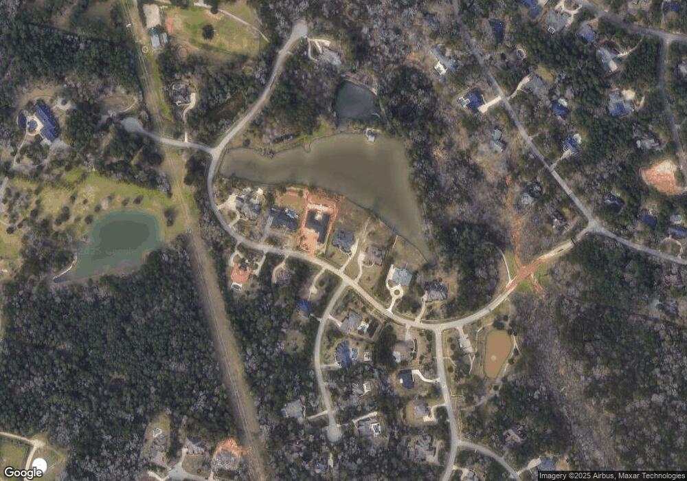
Map
Nearby Homes
- 10362 Hunter Creek Ln
- 7373 Teaswood Dr
- 10332 Hunter Creek Ln
- 10308 Paradise Valley Dr
- 12 Robin Trail
- 2260 Teas Crossing Dr
- 7393 Teaswood Dr
- 7389 Teaswood
- 6970 Longmire Rd
- 10926 Kaleo Way
- 10265 Paradise Valley
- 5431 Pine Springs Ct
- 26 Royal Dalton Cir
- 1928 Velvet Oak Ln
- 1920 Velvet Oak Ln
- 1916 Velvet Oak Ln
- 1663 Shae Oak Ln
- 2815 Jacqueline Ln
- 2906 Lawrence Park Ct
- 1908 Velvet Oak Ln
- 6156 Slick Rock Dr
- 6160 Slick Rock Dr
- 6162 Slick Rock Dr
- 6154 Slick Rock Dr
- 6163 Slick Rock Dr
- 6161 Slick Rock Dr
- 1 Quinns Cabin Ct
- 1 Quinn's Cabin Ct
- 6152 Slick Rock Dr
- 6164 Slick Rock Dr
- 11 Quinn's Cabin Ct
- 6165 Slick Rock Dr
- 2 Quinn's Cabin Ct
- 7330 Teas Cottage Dr
- 6150 Slick Rock Dr
- 6170 Slick Rock Dr
- 7328 Teas Cottage Dr
- 9 Quinns Cabin Ct
- 7341 Teaswood Dr
- 7 Curtis Creek