616 Crosby Dr Oakland, MD 21550
Estimated Value: $290,090 - $400,000
--
Bed
2
Baths
1,882
Sq Ft
$184/Sq Ft
Est. Value
About This Home
This home is located at 616 Crosby Dr, Oakland, MD 21550 and is currently estimated at $346,273, approximately $183 per square foot. 616 Crosby Dr is a home located in Garrett County with nearby schools including Broad Ford Elementary School, Southern Middle School, and Southern Garrett High School.
Ownership History
Date
Name
Owned For
Owner Type
Purchase Details
Closed on
Oct 19, 2001
Sold by
Davidson Phillip M and Davidson Penny L
Bought by
Anderson Paul S and Anderson Melissa B
Current Estimated Value
Create a Home Valuation Report for This Property
The Home Valuation Report is an in-depth analysis detailing your home's value as well as a comparison with similar homes in the area
Home Values in the Area
Average Home Value in this Area
Purchase History
| Date | Buyer | Sale Price | Title Company |
|---|---|---|---|
| Anderson Paul S | $133,900 | -- |
Source: Public Records
Mortgage History
| Date | Status | Borrower | Loan Amount |
|---|---|---|---|
| Closed | Anderson Paul S | -- |
Source: Public Records
Tax History Compared to Growth
Tax History
| Year | Tax Paid | Tax Assessment Tax Assessment Total Assessment is a certain percentage of the fair market value that is determined by local assessors to be the total taxable value of land and additions on the property. | Land | Improvement |
|---|---|---|---|---|
| 2025 | $3,741 | $233,200 | $23,600 | $209,600 |
| 2024 | $3,585 | $218,600 | $0 | $0 |
| 2023 | $3,346 | $204,000 | $0 | $0 |
| 2022 | $3,106 | $189,400 | $23,600 | $165,800 |
| 2021 | $3,094 | $188,667 | $0 | $0 |
| 2020 | $3,082 | $187,933 | $0 | $0 |
| 2019 | $3,070 | $187,200 | $23,600 | $163,600 |
| 2018 | $2,946 | $187,200 | $23,600 | $163,600 |
| 2017 | $2,947 | $187,200 | $0 | $0 |
| 2016 | -- | $187,200 | $0 | $0 |
| 2015 | -- | $187,200 | $0 | $0 |
| 2014 | -- | $187,200 | $0 | $0 |
Source: Public Records
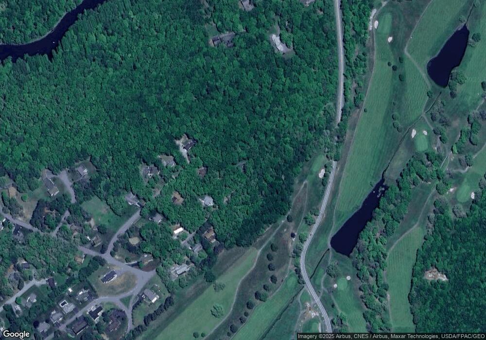
Map
Nearby Homes
- 62 Crosby Dr
- 0 Crosby Dr Unit 64/65
- 0 Sam Snead Cir Unit 1 MDGA2010358
- 0 N Hammond St
- 3.35 acres </> 4th St
- 163 Crestview Dr
- 163 Mitchell Dr
- 11 Sunset Dr
- 13209 Garrett Hwy
- 315 Coolidge Ave
- 0 8th & Dennett Road St Unit MDGA2009886
- 511 E Green St
- 503 E Alder St
- 611 E Oak St
- 5202 Hutton Rd
- 111 Knoll Crest Heights Dr
- 0 Memorial Dr Unit MDGA2010668
- 627 Hamill St
- 1056 Sunrise Dr
- 609 Southern Pines Dr
- 620 Crosby Dr
- 615 Nicklaus Ave
- 613 Nicklaus Ave
- 614 Nicklaus Ave
- 612 Nicklaus Ave
- 609 Nicklaus Ave
- 609 Crosby Dr
- 610 Nicklaus Ave
- 605 Crosby Dr
- 604 Crosby Dr
- 607 Nicklaus Ave
- 601 Crosby Dr
- 604 Nicklaus Ave
- 63 Crosby Dr
- 603 Nicklaus Ave
- 45 Robinwood Dr
- Map 65 Parcel 395 Oakland Sang Run Rd
- 501 Palmer Ln
- 43 Robinwood Dr
- 503 Crosby Dr