617 Pearl Bay Dr New London, NC 28127
Estimated Value: $983,000 - $1,345,209
3
Beds
4
Baths
3,381
Sq Ft
$353/Sq Ft
Est. Value
About This Home
This home is located at 617 Pearl Bay Dr, New London, NC 28127 and is currently estimated at $1,194,302, approximately $353 per square foot. 617 Pearl Bay Dr is a home located in Montgomery County with nearby schools including Troy Elementary School, Page Street Elementary School, and West Middle School.
Ownership History
Date
Name
Owned For
Owner Type
Purchase Details
Closed on
Aug 15, 2005
Sold by
Jones Lawrence W and Browning Linda D
Bought by
Williamson Lawrence and Williamson Judy J
Current Estimated Value
Home Financials for this Owner
Home Financials are based on the most recent Mortgage that was taken out on this home.
Original Mortgage
$26,500
Interest Rate
5.57%
Mortgage Type
Purchase Money Mortgage
Purchase Details
Closed on
Jan 1, 1995
Bought by
Williamson Lawrence and Williamson Judy
Create a Home Valuation Report for This Property
The Home Valuation Report is an in-depth analysis detailing your home's value as well as a comparison with similar homes in the area
Home Values in the Area
Average Home Value in this Area
Purchase History
| Date | Buyer | Sale Price | Title Company |
|---|---|---|---|
| Williamson Lawrence | $27,000 | None Available | |
| Williamson Lawrence | $130,000 | -- |
Source: Public Records
Mortgage History
| Date | Status | Borrower | Loan Amount |
|---|---|---|---|
| Closed | Williamson Lawrence | $26,500 |
Source: Public Records
Tax History Compared to Growth
Tax History
| Year | Tax Paid | Tax Assessment Tax Assessment Total Assessment is a certain percentage of the fair market value that is determined by local assessors to be the total taxable value of land and additions on the property. | Land | Improvement |
|---|---|---|---|---|
| 2025 | $5,118 | $792,080 | $293,250 | $498,830 |
| 2024 | $5,118 | $792,080 | $293,250 | $498,830 |
| 2023 | $5,118 | $792,080 | $293,250 | $498,830 |
| 2022 | $5,118 | $792,080 | $293,250 | $498,830 |
| 2021 | $5,005 | $792,080 | $293,250 | $498,830 |
| 2020 | $5,307 | $792,080 | $293,250 | $498,830 |
| 2018 | $5,315 | $787,400 | $265,625 | $521,775 |
| 2017 | $5,315 | $787,400 | $265,625 | $521,775 |
| 2016 | $5,315 | $787,400 | $265,625 | $521,775 |
| 2015 | $4,961 | $787,400 | $0 | $0 |
| 2014 | $4,961 | $787,387 | $0 | $0 |
Source: Public Records
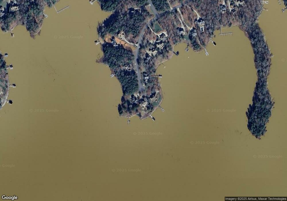
Map
Nearby Homes
- 426 Pearl Bay Dr
- 165 Futrell Landing
- 146 Bayview Ct
- 130 Bayview Ct
- 305 Mallard Dr
- 215 Mallard Dr
- 287 Badin View Dr
- 178 Bayview Ct
- 290 Badin View Dr
- 133 Badin View Dr
- 197 Pearl Bay Dr
- 140 Badin View Dr
- 145 Badin View Dr Unit 69
- 222 Mallard Dr
- 131 Stormy Ct Unit 21
- 131 Stormy Ct
- 125 Whisper Lake Dr
- 123 Lakewood Ct
- 135 Deep Water Ct Unit 136 PH9
- 135 Deep Water Ct
- 610 Pearl Bay Dr
- 615 Pearl Bay Dr
- 611 Pearl Bay Dr
- 603 Pearl Bay Dr
- 602 Pearl Bay Dr
- 587 Pearl Bay Dr
- 588 Pearl Bay Dr
- 573 Pearl Bay Dr
- 586 Pearl Bay Dr
- 563 Pearl Bay Dr
- 574 Pearl Bay Dr
- 533 Pearl Bay Dr
- 553 Pearl Bay Dr
- 443 Pearl Bay Dr
- 113 Mallard Dr
- 433 Pearl Bay Dr
- 425 Pearl Bay Dr
- 129 Mallard Dr Unit 48
- 129 Mallard Dr
- 417 Pearl Bay Dr