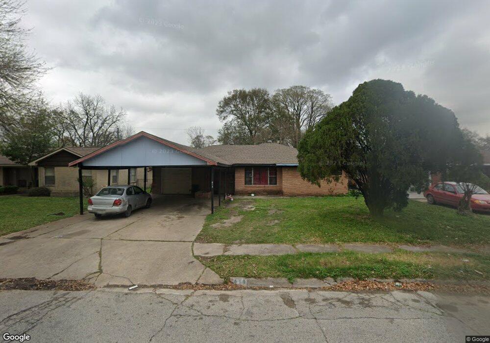
619 Glenburnie Dr Houston, TX 77022
Independence Heights NeighborhoodEstimated Value: $200,000 - $212,000
3
Beds
1
Bath
1,118
Sq Ft
$185/Sq Ft
Est. Value
About This Home
This home is located at 619 Glenburnie Dr, Houston, TX 77022 and is currently estimated at $206,378, approximately $184 per square foot. 619 Glenburnie Dr is a home located in Harris County with nearby schools including Kennedy Elementary School, Williams Middle, and Booker T Washington Sr High.
Ownership History
Date
Name
Owned For
Owner Type
Purchase Details
Closed on
Jun 15, 2007
Sold by
Harmon Charles E and Harmon Patricia A
Bought by
Morales Ramon
Current Estimated Value
Home Financials for this Owner
Home Financials are based on the most recent Mortgage that was taken out on this home.
Original Mortgage
$82,000
Outstanding Balance
$51,119
Interest Rate
6.54%
Mortgage Type
Purchase Money Mortgage
Estimated Equity
$155,259
Create a Home Valuation Report for This Property
The Home Valuation Report is an in-depth analysis detailing your home's value as well as a comparison with similar homes in the area
Home Values in the Area
Average Home Value in this Area
Purchase History
| Date | Buyer | Sale Price | Title Company |
|---|---|---|---|
| Morales Ramon | -- | None Available |
Source: Public Records
Mortgage History
| Date | Status | Borrower | Loan Amount |
|---|---|---|---|
| Open | Morales Ramon | $82,000 |
Source: Public Records
Tax History Compared to Growth
Tax History
| Year | Tax Paid | Tax Assessment Tax Assessment Total Assessment is a certain percentage of the fair market value that is determined by local assessors to be the total taxable value of land and additions on the property. | Land | Improvement |
|---|---|---|---|---|
| 2025 | $1,660 | $209,850 | $115,920 | $93,930 |
| 2024 | $1,660 | $186,487 | $115,920 | $70,567 |
| 2023 | $1,660 | $163,976 | $92,736 | $71,240 |
| 2022 | $2,744 | $153,066 | $92,736 | $60,330 |
| 2021 | $2,640 | $143,710 | $92,736 | $50,974 |
| 2020 | $2,494 | $113,289 | $46,368 | $66,921 |
| 2019 | $2,369 | $111,929 | $46,368 | $65,561 |
| 2018 | $1,430 | $88,146 | $27,048 | $61,098 |
| 2017 | $1,957 | $88,146 | $27,048 | $61,098 |
| 2016 | $1,779 | $84,461 | $19,320 | $65,141 |
| 2015 | $1,022 | $69,814 | $19,320 | $50,494 |
| 2014 | $1,022 | $58,686 | $19,320 | $39,366 |
Source: Public Records
Map
Nearby Homes
- 627 Glenburnie Dr
- 5035 North Fwy
- 423 Gammon Dr
- 510 Victoria Dr
- 327 E Delz Dr
- 5203 Burress Springs Ln
- 330 Spell St
- 11 Wellford St Unit G
- Cypress Plan at Wellford Village
- Willow Plan at Wellford Village
- 319 E Delz Dr
- 302 E Rogers St
- 0 Victoria Unit 54691087
- 8226 E Tidwell Rd
- 303 Victoria Dr
- 219 E Janisch Rd
- 312 Walthall Dr
- 310 Walthall Dr
- 146 Hohldale St
- 600 E Whitney St
- 615 Glenburnie Dr
- 623 Glenburnie Dr
- 614 Gammon Dr
- 611 Glenburnie Dr
- 610 Gammon Dr
- 618 Gammon Dr
- 606 Gammon Dr
- 618 Glenburnie Dr
- 607 Glenburnie Dr
- 622 Glenburnie Dr
- 614 Glenburnie Dr
- 626 Glenburnie Dr
- 610 Glenburnie Dr
- 603 Glenburnie Dr
- 602 Gammon Dr
- 606 Glenburnie Dr
- 631 E Delz Dr
- 615 Gammon Dr
- 635 E Delz Dr
- 639 E Delz Dr