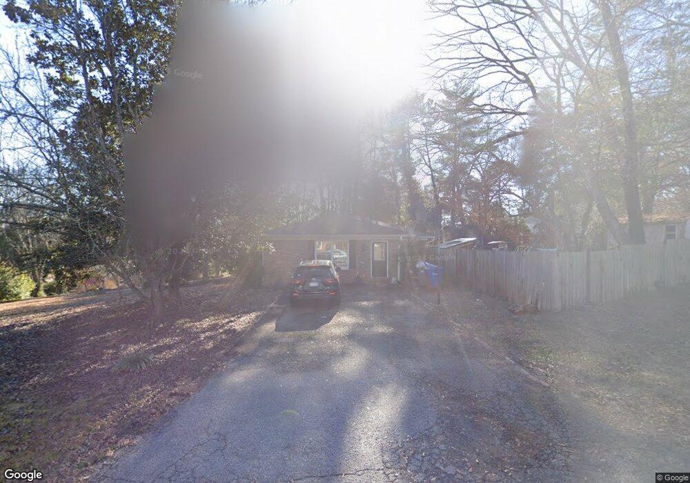
619 Perrin Dr Spartanburg, SC 29307
Hillbrook NeighborhoodEstimated Value: $335,966 - $380,000
4
Beds
3
Baths
2,759
Sq Ft
$126/Sq Ft
Est. Value
About This Home
This home is located at 619 Perrin Dr, Spartanburg, SC 29307 and is currently estimated at $348,242, approximately $126 per square foot. 619 Perrin Dr is a home located in Spartanburg County with nearby schools including Spartanburg High School, Westminster Day School, and Spartanburg Day School.
Ownership History
Date
Name
Owned For
Owner Type
Purchase Details
Closed on
Feb 22, 2019
Sold by
Burnett Jonathon Blake
Bought by
Burnett Jonathon Blake and Burnett Lauren Paige
Current Estimated Value
Home Financials for this Owner
Home Financials are based on the most recent Mortgage that was taken out on this home.
Original Mortgage
$150,000
Outstanding Balance
$131,608
Interest Rate
4.4%
Mortgage Type
New Conventional
Estimated Equity
$216,634
Purchase Details
Closed on
Feb 21, 2019
Sold by
Burnett Bobby L and Burnett Beckey S
Bought by
Burnett Jonathon Blake
Home Financials for this Owner
Home Financials are based on the most recent Mortgage that was taken out on this home.
Original Mortgage
$150,000
Outstanding Balance
$131,608
Interest Rate
4.4%
Mortgage Type
New Conventional
Estimated Equity
$216,634
Create a Home Valuation Report for This Property
The Home Valuation Report is an in-depth analysis detailing your home's value as well as a comparison with similar homes in the area
Home Values in the Area
Average Home Value in this Area
Purchase History
| Date | Buyer | Sale Price | Title Company |
|---|---|---|---|
| Burnett Jonathon Blake | -- | None Available | |
| Burnett Jonathon Blake | $187,500 | None Available |
Source: Public Records
Mortgage History
| Date | Status | Borrower | Loan Amount |
|---|---|---|---|
| Open | Burnett Jonathon Blake | $150,000 |
Source: Public Records
Tax History Compared to Growth
Tax History
| Year | Tax Paid | Tax Assessment Tax Assessment Total Assessment is a certain percentage of the fair market value that is determined by local assessors to be the total taxable value of land and additions on the property. | Land | Improvement |
|---|---|---|---|---|
| 2025 | $2,548 | $8,625 | $1,768 | $6,857 |
| 2024 | $2,548 | $8,625 | $1,768 | $6,857 |
| 2023 | $2,548 | $8,625 | $1,768 | $6,857 |
| 2022 | $2,172 | $7,500 | $1,400 | $6,100 |
| 2021 | $2,172 | $7,500 | $1,400 | $6,100 |
| 2020 | $5,628 | $11,250 | $2,100 | $9,150 |
| 2019 | $2,316 | $8,142 | $1,376 | $6,766 |
| 2018 | $2,316 | $8,142 | $1,376 | $6,766 |
| 2017 | $2,064 | $7,080 | $1,400 | $5,680 |
| 2016 | $2,064 | $7,080 | $1,400 | $5,680 |
| 2015 | $1,978 | $7,080 | $1,400 | $5,680 |
| 2014 | $1,973 | $7,080 | $1,400 | $5,680 |
Source: Public Records
Map
Nearby Homes
- 416 Ransdell Dr
- 427 Ransdell Dr
- 243 Harrell Dr
- 105 N Bennington Dr
- 432 Ransdell Dr
- 110 N Carleila Lake Way
- 259 Harrell Dr
- 336 S Griffin Mill Ct
- 459 Ransdell Dr
- 1124 Webber Way
- 254 Hollis Dr
- 294 Hollis Dr
- 265 Hollis Dr
- 103 Buckstone Ln
- 147 Hillbrook Dr
- 107 Buckstone Ln
- Ashland Plan at East Main Townes
- Cary Plan at East Main Townes
- 110 Winfield Dr
- 126 Winfield Dr
- 117 Winfield Dr
- 117 Winfield Dr
- 117 Winfield Dr Unit 2
- 117 Winfield Dr
- 117 Winfield Dr
- 117 Winfield Dr
- 117 Winfield Dr
- 117 Winfield Dr
- 117 Winfield Dr
- 117 Winfield Dr
- 117 Winfield Dr
- 121 Winfield Dr
- 104 Winfield Dr
- 616 Perrin Dr
- 615 Perrin Dr
- 130 Winfield Dr
- 125 Winfield Dr
- 614 Perrin Dr