Estimated Value: $698,000 - $785,000
3
Beds
4
Baths
2,960
Sq Ft
$252/Sq Ft
Est. Value
About This Home
This home is located at 619 S 170 W, Ivins, UT 84738 and is currently estimated at $746,140, approximately $252 per square foot. 619 S 170 W is a home located in Washington County with nearby schools including Snow Canyon Middle School, Lava Ridge Intermediate School, and Snow Canyon High School.
Ownership History
Date
Name
Owned For
Owner Type
Purchase Details
Closed on
Feb 2, 2021
Sold by
Barlow Ileen
Bought by
Barlow Ileen L and Barlow Ileen L
Current Estimated Value
Home Financials for this Owner
Home Financials are based on the most recent Mortgage that was taken out on this home.
Original Mortgage
$194,300
Outstanding Balance
$173,478
Interest Rate
2.6%
Mortgage Type
New Conventional
Estimated Equity
$572,662
Purchase Details
Closed on
Oct 5, 2006
Sold by
Dale Jefffrey G
Bought by
Smith Susann
Purchase Details
Closed on
Mar 30, 2006
Sold by
Rc Dewitt Construcition Inc
Bought by
Dale Jeffrey G
Home Financials for this Owner
Home Financials are based on the most recent Mortgage that was taken out on this home.
Original Mortgage
$380,400
Interest Rate
6.25%
Mortgage Type
New Conventional
Create a Home Valuation Report for This Property
The Home Valuation Report is an in-depth analysis detailing your home's value as well as a comparison with similar homes in the area
Home Values in the Area
Average Home Value in this Area
Purchase History
| Date | Buyer | Sale Price | Title Company |
|---|---|---|---|
| Barlow Ileen L | -- | Rampart Title Ins Agency | |
| Smith Susann | -- | Southern Utah Title Co | |
| Dale Jeffrey G | -- | Southern Utah Title Co |
Source: Public Records
Mortgage History
| Date | Status | Borrower | Loan Amount |
|---|---|---|---|
| Open | Barlow Ileen L | $194,300 | |
| Previous Owner | Dale Jeffrey G | $380,400 |
Source: Public Records
Tax History Compared to Growth
Tax History
| Year | Tax Paid | Tax Assessment Tax Assessment Total Assessment is a certain percentage of the fair market value that is determined by local assessors to be the total taxable value of land and additions on the property. | Land | Improvement |
|---|---|---|---|---|
| 2025 | $2,411 | $368,335 | $101,750 | $266,585 |
| 2023 | $2,479 | $363,330 | $82,500 | $280,830 |
| 2022 | $2,441 | $336,710 | $63,250 | $273,460 |
| 2021 | $2,354 | $482,500 | $105,000 | $377,500 |
| 2020 | $2,219 | $430,300 | $105,000 | $325,300 |
| 2019 | $2,171 | $411,800 | $75,000 | $336,800 |
| 2018 | $2,207 | $215,380 | $0 | $0 |
| 2017 | $2,142 | $203,390 | $0 | $0 |
| 2016 | $2,207 | $193,600 | $0 | $0 |
| 2015 | $2,220 | $187,385 | $0 | $0 |
| 2014 | $2,165 | $183,700 | $0 | $0 |
Source: Public Records
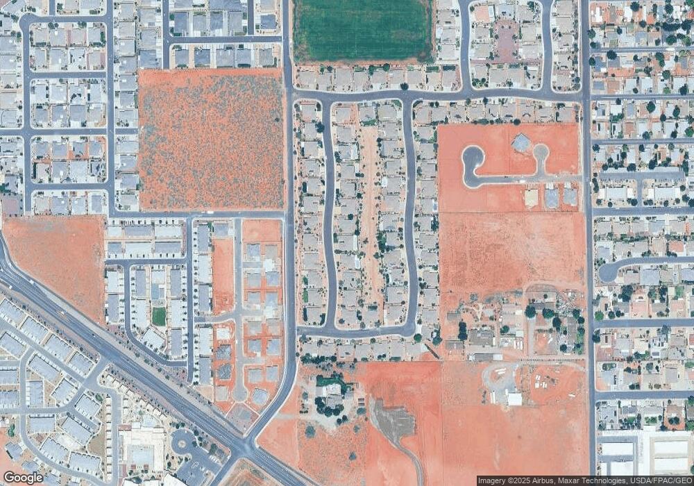
Map
Nearby Homes
- 191 W 685 S
- 713 S 230 W
- 712 S 230 W Unit 15
- 690 S 230 W Unit (lot 18)
- 635 S 230 W
- 686 S 230 W Unit (lot 19)
- Dearborn Plan at Vista Estates
- 673 S 230 W
- 693 S 230 W
- Daniel II Plan at Vista Estates
- 705 S 230 W
- Helena Plan at Vista Estates
- 693 S 230 W Unit Lot 12
- 704 W 230 W Unit (lot 17)
- 623 S 230 W
- 689 S 230 W
- 697 S 230 W Unit Lot 13
- 697 S 230 W
- Melody Plan at Vista Estates
- 617 S Malorie Way