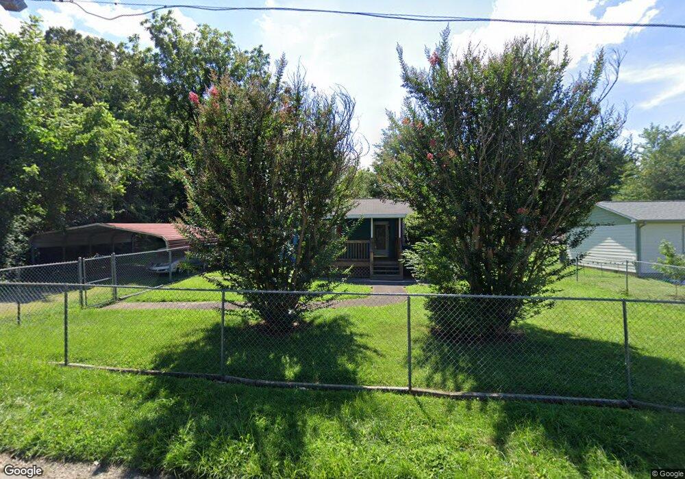
62 Buffalo St Asheville, NC 28806
West Asheville NeighborhoodEstimated Value: $453,551 - $554,000
3
Beds
2
Baths
1,584
Sq Ft
$310/Sq Ft
Est. Value
About This Home
This home is located at 62 Buffalo St, Asheville, NC 28806 and is currently estimated at $491,638, approximately $310 per square foot. 62 Buffalo St is a home located in Buncombe County with nearby schools including Hall Fletcher Elementary, Isaac Dickson Elementary, and Ira B Jones Elementary.
Ownership History
Date
Name
Owned For
Owner Type
Purchase Details
Closed on
Dec 14, 2021
Sold by
Fuller Margaret E
Bought by
Fuller Margaret E and Rice Kenneth Edward
Current Estimated Value
Purchase Details
Closed on
Oct 20, 2003
Sold by
Slydell Taylor Harold and Slydell Taylor Ruthell
Bought by
Fuller Margaret
Home Financials for this Owner
Home Financials are based on the most recent Mortgage that was taken out on this home.
Original Mortgage
$90,000
Outstanding Balance
$42,689
Interest Rate
6.45%
Mortgage Type
Unknown
Estimated Equity
$448,949
Create a Home Valuation Report for This Property
The Home Valuation Report is an in-depth analysis detailing your home's value as well as a comparison with similar homes in the area
Home Values in the Area
Average Home Value in this Area
Purchase History
| Date | Buyer | Sale Price | Title Company |
|---|---|---|---|
| Fuller Margaret E | -- | Chicago Title Insurance Co | |
| Fuller Margaret | $90,000 | -- |
Source: Public Records
Mortgage History
| Date | Status | Borrower | Loan Amount |
|---|---|---|---|
| Open | Fuller Margaret | $90,000 |
Source: Public Records
Tax History Compared to Growth
Tax History
| Year | Tax Paid | Tax Assessment Tax Assessment Total Assessment is a certain percentage of the fair market value that is determined by local assessors to be the total taxable value of land and additions on the property. | Land | Improvement |
|---|---|---|---|---|
| 2025 | $1,589 | $307,600 | $88,100 | $219,500 |
| 2024 | $1,589 | $307,600 | $88,100 | $219,500 |
| 2023 | $1,589 | $307,600 | $88,100 | $219,500 |
| 2022 | $3,067 | $307,600 | $88,100 | $219,500 |
| 2021 | $3,067 | $307,600 | $0 | $0 |
| 2020 | $2,447 | $227,000 | $0 | $0 |
| 2019 | $2,447 | $227,000 | $0 | $0 |
| 2018 | $2,447 | $227,000 | $0 | $0 |
| 2017 | $2,470 | $147,600 | $0 | $0 |
| 2016 | $1,814 | $147,600 | $0 | $0 |
| 2015 | $1,814 | $147,600 | $0 | $0 |
| 2014 | $1,792 | $147,600 | $0 | $0 |
Source: Public Records
Map
Nearby Homes
- 52 Boyd Ave
- 37 Bryant St
- 219 Fayetteville St
- 113 Burton St
- 99999 Edgar St Unit 4 lots
- 68 Vandalia Ave
- 99999 Millbrook Rd
- 63 Vandalia Ave
- 34 Vandalia Ave
- 69 Branning St
- 20 Vandalia Ave
- 27 Ruslan Dr
- 74 Brucemont Cir
- 60 Dorchester Ave
- 135 Westwood Place
- 123 Brucemont Cir
- 119 Richland St
- 43 Argyle Ln
- 14 Annie St
- 122 Hazel Mill Rd