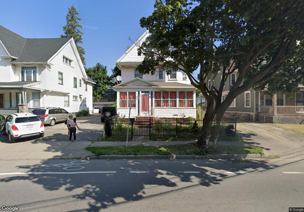
62 Clifford Ave Rochester, NY 14621
Northeast Rochester NeighborhoodEstimated Value: $103,000 - $149,171
5
Beds
3
Baths
2,653
Sq Ft
$46/Sq Ft
Est. Value
About This Home
This home is located at 62 Clifford Ave, Rochester, NY 14621 and is currently estimated at $122,793, approximately $46 per square foot. 62 Clifford Ave is a home located in Monroe County with nearby schools including School 8-Roberto Clemente, School 9-DR Martin Luther King Jr, and School 25 Nathaniel Hawthorne.
Ownership History
Date
Name
Owned For
Owner Type
Purchase Details
Closed on
May 8, 2017
Sold by
Silva Yanet
Bought by
Benoit Jose
Current Estimated Value
Purchase Details
Closed on
Jul 19, 2007
Sold by
Garcia Noel Escalona
Bought by
Silva Yanet
Home Financials for this Owner
Home Financials are based on the most recent Mortgage that was taken out on this home.
Original Mortgage
$35,000
Interest Rate
6.54%
Mortgage Type
New Conventional
Purchase Details
Closed on
Mar 29, 2005
Sold by
Benoit Maritza
Bought by
Escalona Garcia Noel
Purchase Details
Closed on
Jul 18, 1996
Create a Home Valuation Report for This Property
The Home Valuation Report is an in-depth analysis detailing your home's value as well as a comparison with similar homes in the area
Home Values in the Area
Average Home Value in this Area
Purchase History
| Date | Buyer | Sale Price | Title Company |
|---|---|---|---|
| Benoit Jose | -- | None Available | |
| Silva Yanet | $35,000 | Gilbert R Perez | |
| Escalona Garcia Noel | -- | None Available | |
| -- | -- | -- |
Source: Public Records
Mortgage History
| Date | Status | Borrower | Loan Amount |
|---|---|---|---|
| Previous Owner | Silva Yanet | $35,000 |
Source: Public Records
Tax History Compared to Growth
Tax History
| Year | Tax Paid | Tax Assessment Tax Assessment Total Assessment is a certain percentage of the fair market value that is determined by local assessors to be the total taxable value of land and additions on the property. | Land | Improvement |
|---|---|---|---|---|
| 2024 | $1,405 | $114,000 | $8,300 | $105,700 |
| 2023 | $865 | $43,500 | $3,100 | $40,400 |
| 2022 | $858 | $43,500 | $3,100 | $40,400 |
| 2021 | $838 | $43,500 | $3,100 | $40,400 |
| 2020 | $771 | $43,500 | $3,100 | $40,400 |
| 2019 | $550 | $39,400 | $3,100 | $36,300 |
| 2018 | $1,424 | $39,400 | $3,100 | $36,300 |
| 2017 | $0 | $39,400 | $3,100 | $36,300 |
| 2016 | $641 | $39,400 | $3,100 | $36,300 |
| 2015 | $896 | $32,300 | $3,100 | $29,200 |
| 2014 | $896 | $32,300 | $3,100 | $29,200 |
Source: Public Records
Map
Nearby Homes
- 128 Clifford Ave
- 32 Evergreen St
- 1085 Saint Paul St
- 1139 Saint Paul St
- 14 Durgin St
- 183 Clifford Ave
- 24 Conkey Ave
- 84 Avenue B
- 232 Avenue A
- 275 Clifford Ave
- 79 Scrantom St
- 58 Flower St
- 74 Avenue D
- 105-107 Avenue Ave E
- 340 Clifford Ave
- 27 Leavenworth St
- 15 Princeton St
- 115 Scrantom St
- 256 Avenue D
- 280 Avenue D
- 68 Clifford Ave
- 56 Clifford Ave
- 74 Clifford Ave
- 52 Clifford Ave
- 97 Huntington Park
- 85 Huntington Park
- 82 Clifford Ave Unit 84
- 105 Huntington Park
- 75 Huntington Park
- 48 Clifford Ave
- 1 Harris St
- 57 Huntington Park
- 67 Clifford Ave
- 111 Huntington Park
- 55 Huntington Park
- 41 Clifford Ave
- 77 Clifford Ave
- 117 Huntington Park
- 42 Durgin St
- 45 Huntington Park