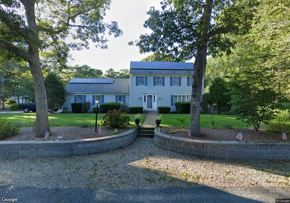
62 Cromwell Dr Yarmouth Port, MA 02675
Yarmouth Port NeighborhoodEstimated Value: $796,331 - $934,000
3
Beds
3
Baths
2,020
Sq Ft
$429/Sq Ft
Est. Value
About This Home
This home is located at 62 Cromwell Dr, Yarmouth Port, MA 02675 and is currently estimated at $865,833, approximately $428 per square foot. 62 Cromwell Dr is a home located in Barnstable County with nearby schools including Dennis-Yarmouth Regional High School and St. Pius X. School.
Create a Home Valuation Report for This Property
The Home Valuation Report is an in-depth analysis detailing your home's value as well as a comparison with similar homes in the area
Home Values in the Area
Average Home Value in this Area
Tax History Compared to Growth
Tax History
| Year | Tax Paid | Tax Assessment Tax Assessment Total Assessment is a certain percentage of the fair market value that is determined by local assessors to be the total taxable value of land and additions on the property. | Land | Improvement |
|---|---|---|---|---|
| 2025 | $5,621 | $793,900 | $247,900 | $546,000 |
| 2024 | $5,202 | $704,900 | $215,700 | $489,200 |
| 2023 | $5,244 | $646,600 | $182,000 | $464,600 |
| 2022 | $4,834 | $526,600 | $162,900 | $363,700 |
| 2021 | $4,383 | $458,500 | $162,900 | $295,600 |
| 2020 | $4,357 | $435,700 | $160,300 | $275,400 |
| 2019 | $4,171 | $413,000 | $160,300 | $252,700 |
| 2018 | $4,153 | $403,600 | $150,900 | $252,700 |
| 2017 | $4,044 | $403,600 | $150,900 | $252,700 |
| 2016 | $4,028 | $403,600 | $150,900 | $252,700 |
| 2015 | $4,126 | $411,000 | $150,900 | $260,100 |
Source: Public Records
Map
Nearby Homes
- 43 Canterbury Rd
- 34 Kates Path
- 34 Kates Path Unit 34
- 44 Stratford Ln
- 17 Kates Path Unit A
- 64 Kates Path
- 228 Kates Path
- 25 Oak Glen Village Unit 25
- 25 Oak Glen
- 86 Pompano Rd
- 7 Forest Gate Unit 7
- 50 John Hall Cartway
- 50 John Hall Cartway Unit 50
- 42 John Hall Cartway Unit 42
- 2 Pine Grove
- 30 W Woods Cir Unit 30
- 30 W Woods
- 6 Nimble Hill Dr
- 1 Barnacle Rd
- 51 Bray Farm Rd N